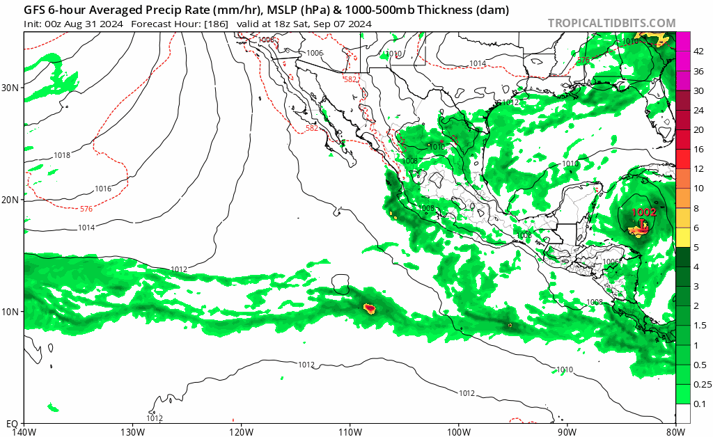
TomballEd wrote:After 240 hours, the op GFS just becomes the best initialized ensemble It drops to ensemble resolution then. The next Cat 4 to hit Texas is an interesting map, but steering to me suggests (if it doesn't change), the E Gulf has a higher risk. Lets see if the 0Z GFS past the resolution truncation shows a different landfall. Those of you with PPV weather should be posting them already.
S2K glitchy, too many people locked in on a distant off hour GFS solution.
This is no longer true, since GFS V15 there has been uniform resolution through hour 384 (though the frame spacing does go up).