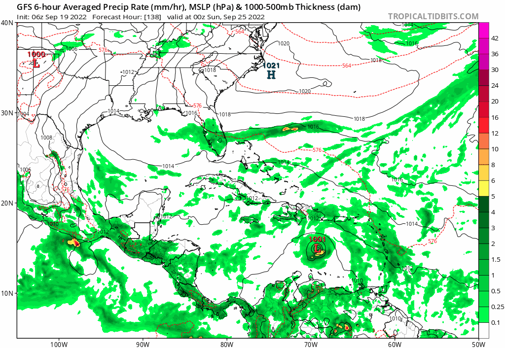
06z GFS likes this TW.
Moderator: S2k Moderators


cane5 wrote:SFLcane wrote:I will say this South Florida Playing with fire with trof pattern in place.
How long do you see that holding ????

hurricane2025 wrote:Such a longs ways out
hurricane2025 wrote:I’m talking about the pattern


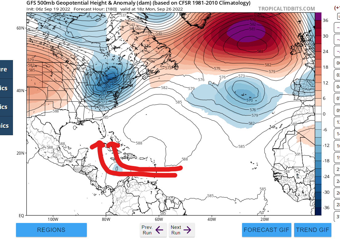
NDG wrote:One thing for sure is that both the GFS and Euro show a very good UL environment for the TW once it gets into the central Caribbean and into the NW Caribbean.
Definitely a threat for areas surrounding the NW Caribbean, too early to know for sure which way it will go until we get closer to the 3 day range of reaching at least the central Caribbean.


Iceresistance wrote:NDG wrote:One thing for sure is that both the GFS and Euro show a very good UL environment for the TW once it gets into the central Caribbean and into the NW Caribbean.
Definitely a threat for areas surrounding the NW Caribbean, too early to know for sure which way it will go until we get closer to the 3 day range of reaching at least the central Caribbean.
That's the part I'm really concerned about: an organized system heading into virtually untapped waters of the Western Caribbean and exploding into an absolute monster. The latest GFS (as mentioned above) is clearly showing this scenario.

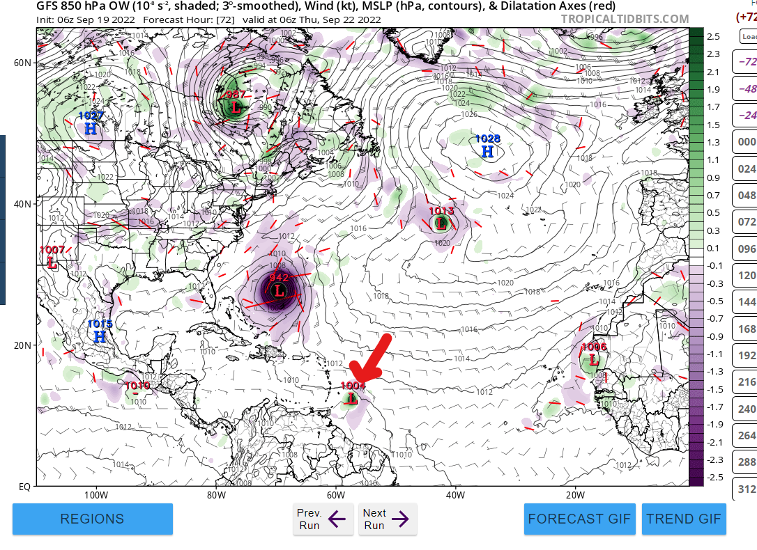
AutoPenalti wrote:FWIW, GEFS has split members (again far out in time) with only 2 members hitting SFL
https://i.imgur.com/kaxl4Lq.gif
toad strangler wrote:AutoPenalti wrote:FWIW, GEFS has split members (again far out in time) with only 2 members hitting SFL
https://i.imgur.com/kaxl4Lq.gif
SFL from that direction is like cupping a 100 yard 9 iron from the rough.

aspen wrote:HWRF-P has a TS before crossing the Lesser Antilles.
https://i.imgur.com/ZzqasZY.png


Users browsing this forum: Cyclenall and 63 guests