Tropical wave in the Eastern Atlantic (Is Invest 92L)
Moderator: S2k Moderators
Forum rules

The posts in this forum are NOT official forecasts and should not be used as such. They are just the opinion of the poster and may or may not be backed by sound meteorological data. They are NOT endorsed by any professional institution or STORM2K. For official information, please refer to products from the National Hurricane Center and National Weather Service.
-
CyclonicFury

- Category 5

- Posts: 2038
- Age: 27
- Joined: Sun Jul 02, 2017 12:32 pm
- Location: NC
- Contact:
Re:Tropical wave in the Eastern Atlantic (10/50)
12z GFS makes this AOI a legitimate fish CV hurricane. Would be truly unprecedented for June if it verified.
4 likes
NCSU B.S. in Meteorology Class of 2021. Tropical weather blogger at http://www.cyclonicfury.com. My forecasts and thoughts are NOT official, for official forecasts please consult the National Hurricane Center.
-
Sciencerocks
- Category 5
- Posts: 10193
- Age: 40
- Joined: Thu Jul 06, 2017 1:51 am


Re:Tropical wave in the Eastern Atlantic (10/50)
12Z GFS moves it significantly west than 0Z GFS
0 likes
Re:Tropical wave in the Eastern Atlantic (10/50)
Healthy dose of SAL in the MDR.
Likely to remain a pouch until it gets to about 40W.
Same old song and dance only a few months early.
Likely to remain a pouch until it gets to about 40W.
Same old song and dance only a few months early.
0 likes
Re:Tropical wave in the Eastern Atlantic (10/50)
GCANE wrote:12Z GFS moves it significantly west than 0Z GFS
The 12Z GFS is way stronger than the 0Z GFS but it doesn't look to me to be further west than 0Z. Did you mean stronger?
Edit: You must mean west of the 6Z.
1 likes
Personal Forecast Disclaimer:
The posts in this forum are NOT official forecasts and should not be used as such. They are just the opinion of the poster and may or may not be backed by sound meteorological data. They are NOT endorsed by any professional institution or storm2k.org. For official information, please refer to the NHC and NWS products.
The posts in this forum are NOT official forecasts and should not be used as such. They are just the opinion of the poster and may or may not be backed by sound meteorological data. They are NOT endorsed by any professional institution or storm2k.org. For official information, please refer to the NHC and NWS products.
Re:Tropical wave in the Eastern Atlantic (10/50)
LarryWx wrote:GCANE wrote:12Z GFS moves it significantly west than 0Z GFS
The 12Z GFS is way stronger than the 0Z GFS but it doesn't look to me to be further west than 0Z. Did you mean stronger?
Edit: You must mean west of the 6Z.
Your right, its 06Z
At 6/23 00Z
06Z GFS: 987mb, 17.7N 51.5W
12Z GFS: 987mb, 17.5N 53.9W
That would be a shift of 14 miles south and 158 miles west
1 likes
-
NotSparta

- Professional-Met

- Posts: 1677
- Age: 24
- Joined: Fri Aug 18, 2017 8:24 am
- Location: Naples, FL
- Contact:
Re:Tropical wave in the Eastern Atlantic (20/60)
Up to 20/60
NHC wrote:ZCZC MIATWOAT ALL
TTAA00 KNHC DDHHMM
Tropical Weather Outlook
NWS National Hurricane Center Miami FL
200 PM EDT Fri Jun 16 2023
For the North Atlantic...Caribbean Sea and the Gulf of Mexico:
1. Eastern Tropical Atlantic:
A tropical wave located between the west coast of Africa and the
Cabo Verde Islands is producing disorganized showers and
thunderstorms. Environmental conditions appear to be conducive for
gradual development, and a tropical depression could form during the
early to middle portions of next week while the system moves
westward at 15 to 20 mph across the eastern and central tropical
Atlantic.
* Formation chance through 48 hours...low...20 percent.
* Formation chance through 7 days...medium...60 percent.
Forecaster Bucci
1 likes
This post was probably an opinion of mine, and in no way is official. Please refer to http://www.hurricanes.gov for official tropical analysis and advisories.
My website, with lots of tropical wx graphics, including satellite and recon: http://cyclonicwx.com
My website, with lots of tropical wx graphics, including satellite and recon: http://cyclonicwx.com
-
MarioProtVI
- Category 5
- Posts: 1038
- Age: 24
- Joined: Sun Sep 29, 2019 7:33 pm
- Location: New Jersey
Re:Tropical wave in the Eastern Atlantic (20/60)
As if 2023 couldn’t get weirder in the Atlantic. If this becomes HURRICANE Bret of all things in the MDR I will be floored.
3 likes
Re:Tropical wave in the Eastern Atlantic (20/60)
Don't want to see anything like this get into the GOM.
Been tracking the tornado outbreaks last couple days.
7000 CAPE in the GOM!
Never seen it that high before.
Been tracking the tornado outbreaks last couple days.
7000 CAPE in the GOM!
Never seen it that high before.
0 likes
-
NotSparta
- Professional-Met
- Posts: 1677
- Age: 24
- Joined: Fri Aug 18, 2017 8:24 am
- Location: Naples, FL
- Contact:
Re:Tropical wave in the Eastern Atlantic (20/60)
GCANE wrote:Don't want to see anything like this get into the GOM.
Been tracking the tornado outbreaks last couple days.
7000 CAPE in the GOM!
Never seen it that high before.
This won't even get close to approaching the Gulf, don't worry
3 likes
This post was probably an opinion of mine, and in no way is official. Please refer to http://www.hurricanes.gov for official tropical analysis and advisories.
My website, with lots of tropical wx graphics, including satellite and recon: http://cyclonicwx.com
My website, with lots of tropical wx graphics, including satellite and recon: http://cyclonicwx.com
-
OuterBanker
- S2K Supporter

- Posts: 1761
- Joined: Wed Feb 26, 2003 10:53 am
- Location: Nags Head, NC
- Contact:
Re:Tropical wave in the Eastern Atlantic (20/60)
Now up to 20/60
Btw is there a specific percentage of probability to determine an invest?.
Or is it simply a judgement call?
Btw is there a specific percentage of probability to determine an invest?.
Or is it simply a judgement call?
0 likes
-
ouragans

- Category 2

- Posts: 501
- Age: 54
- Joined: Sun Jun 12, 2011 12:09 pm
- Location: Abymes, Guadeloupe F.W.I
- Contact:
Re:Tropical wave in the Eastern Atlantic (20/60)
OuterBanker wrote:Now up to 20/60
Btw is there a specific percentage of probability to determine an invest?.
Or is it simply a judgement call?
Generally, it's 20 pct at 48hrs
0 likes
Personal forecast disclaimer
This post is a personal point of view, not an information. Please refer to official statements for life-threatening decisions.
David '79, Frederic '79, Hugo '89, Iris, Luis & Marilyn '95, Georges '98, Lenny '99, Dean '07, Irma '17, Maria '17, Fiona '22, Philippe '23, Tammy '23
16°13'33.3,"6N -61°36'39.5"W
Re:Tropical wave in the Eastern Atlantic (20/60)
The earliest on record back to 1851 of a TS in the tropical Atlantic east of the Caribbean is June 19th, set by Bret in 2017. This could come close. Next earliest is June 24th (1933). The third earliest is June 30th (Elsa of 2021).
3 likes
Personal Forecast Disclaimer:
The posts in this forum are NOT official forecasts and should not be used as such. They are just the opinion of the poster and may or may not be backed by sound meteorological data. They are NOT endorsed by any professional institution or storm2k.org. For official information, please refer to the NHC and NWS products.
The posts in this forum are NOT official forecasts and should not be used as such. They are just the opinion of the poster and may or may not be backed by sound meteorological data. They are NOT endorsed by any professional institution or storm2k.org. For official information, please refer to the NHC and NWS products.
-
Hypercane_Kyle

- Category 5
- Posts: 3465
- Joined: Sat Mar 07, 2015 7:58 pm
- Location: Cape Canaveral, FL
Re:Tropical wave in the Eastern Atlantic (20/60)
Of note, while early season development is not usually a sign of an active season, early season MDR development -- especially if this becomes a hurricane -- almost always is a sign.
Hurricane Bertha in 2008 is the closest analog I can think of right now.
Hurricane Bertha in 2008 is the closest analog I can think of right now.
4 likes
My posts are my own personal opinion, defer to the National Hurricane Center (NHC) and other NOAA products for decision making during hurricane season.
-
USTropics
- Professional-Met
- Posts: 2739
- Joined: Sun Aug 12, 2007 3:45 am
- Location: Florida State University
Re:Tropical wave in the Eastern Atlantic (20/60)
Euro shifts west with the 12z run, this could be a close scrape for the NE Caribbean with increasing ridging in the mid Atlantic before troughing off the EC picks it up:
12z Euro

Position at same time from last night's 00z:

12z Euro
Position at same time from last night's 00z:
2 likes
Re:Tropical wave in the Eastern Atlantic (20/60)
zzzh wrote::uarrow: Elsa became a TS on July 1.
Thanks for the correction. I saw a track map at the link below with it suggesting to me that it reached TS intensity as of 0Z on July 1st, which would have still been late evening June 30th in its location. However, after your correction, I saw the advisories, which didn't have it upgraded til 5AM AST/09Z on July 1st. So, not Elsa during June.
Track:
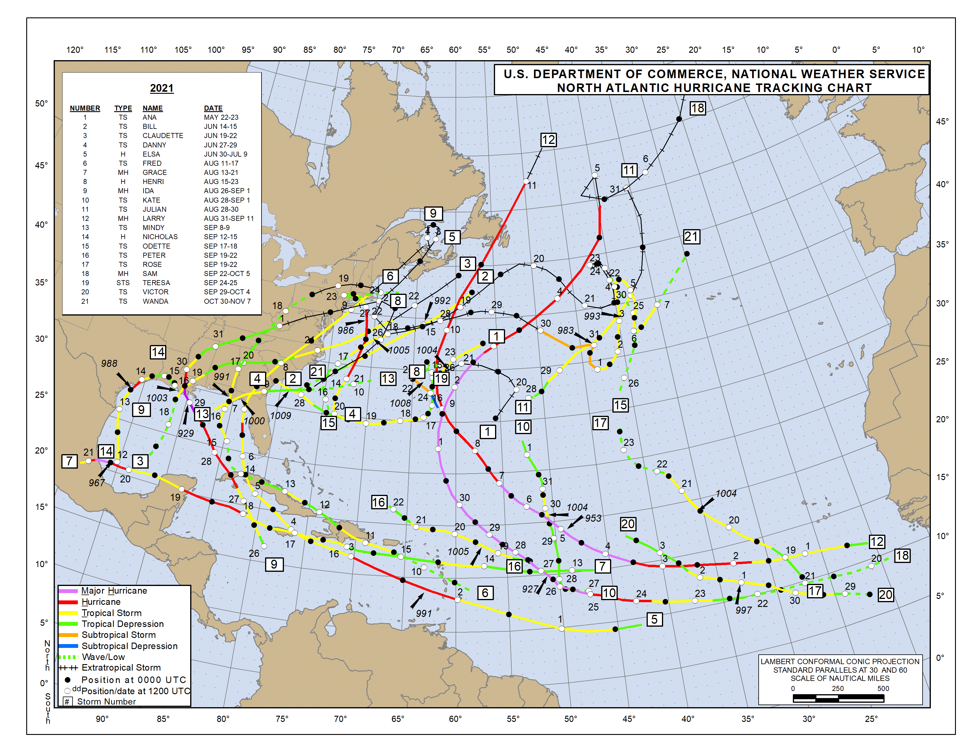
https://www.nhc.noaa.gov/data/tracks/tracks-at-2021.png
0 likes
Personal Forecast Disclaimer:
The posts in this forum are NOT official forecasts and should not be used as such. They are just the opinion of the poster and may or may not be backed by sound meteorological data. They are NOT endorsed by any professional institution or storm2k.org. For official information, please refer to the NHC and NWS products.
The posts in this forum are NOT official forecasts and should not be used as such. They are just the opinion of the poster and may or may not be backed by sound meteorological data. They are NOT endorsed by any professional institution or storm2k.org. For official information, please refer to the NHC and NWS products.
-
USTropics
- Professional-Met
- Posts: 2739
- Joined: Sun Aug 12, 2007 3:45 am
- Location: Florida State University
Re:Tropical wave in the Eastern Atlantic (20/60)
LarryWx wrote:zzzh wrote::uarrow: Elsa became a TS on July 1.
Thanks for the correction. I saw a track map at the link below with it suggesting to me that it reached TS intensity as of 0Z on July 1st, which would have still been late evening June 30th in its location. However, after your correction, I saw the advisories, which didn't have it upgraded til 5AM AST/09Z on July 1st. So, not Elsa during June.
Track:
https://www.nhc.noaa.gov/data/tracks/tracks-at-2021.png
1979 had Ana become a TS on 06/22 at 00z:

5 likes
-
USTropics
- Professional-Met
- Posts: 2739
- Joined: Sun Aug 12, 2007 3:45 am
- Location: Florida State University
Re:Tropical wave in the Eastern Atlantic (20/60)
Hypercane_Kyle wrote:Of note, while early season development is not usually a sign of an active season, early season MDR development -- especially if this becomes a hurricane -- almost always is a sign.
Hurricane Bertha in 2008 is the closest analog I can think of right now.
Seasons that had a storm form east of the Caribbean and below 20N in the months of June/July:
Code: Select all
YEAR   ACE
2021   145.7
2020   179.8
2018   132.6
2017   224.9
2013   36.1
2008   145.7
2005   245.3
1998   181.8
1996   166.2
1995   227.1
1990   96.8
1989   135.1
1979   92.9
1969   165.7
1966   145.2
1964   153
1963   112.1
1961   188.9
1933   258.6
1926   229.6
1916   144
1901   99
1887   181.3
AVG ACE   160.3217391
6 likes
-
cycloneye

- Admin

- Posts: 149696
- Age: 69
- Joined: Thu Oct 10, 2002 10:54 am
- Location: San Juan, Puerto Rico
Re:Tropical wave in the Eastern Atlantic (20/60)
4 likes
Visit the Caribbean-Central America Weather Thread where you can find at first post web cams,radars
and observations from Caribbean basin members Click Here
and observations from Caribbean basin members Click Here
Who is online
Users browsing this forum: No registered users and 160 guests