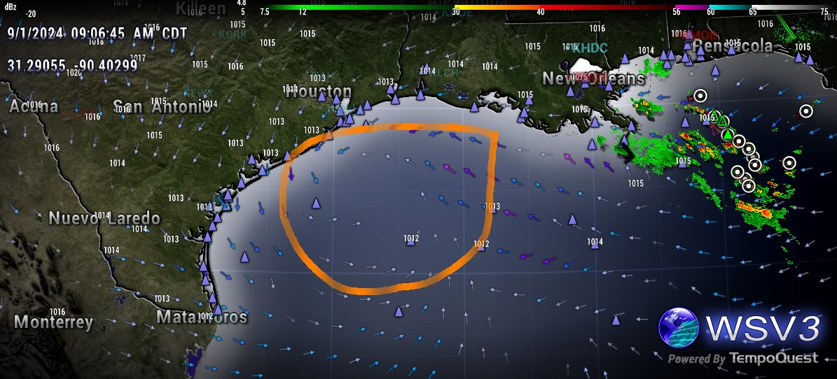
Steve wrote:It’s got pretty decent upper level support per late visibles of the Gulf. If we have a TD or TS out of this ICON is the king of the NW Gulf in 2024. Remember before dropping it for a while as much of a surface entity it had a TS right where it is last Saturday due for this upcoming Sunday. It’s back and doesn’t go anywhere for the next 5 days.
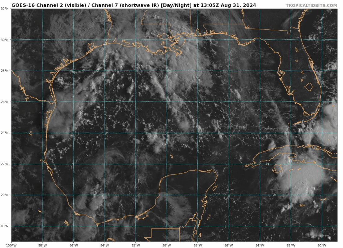
Visible Loop
https://www.tropicaltidbits.com/sat/sat ... t=vis_swir
ICON 18z
https://www.tropicaltidbits.com/analysi ... 83018&fh=6
After its performance with tracking Beryl, ngl, I've gained some great respect for the ICON. It seems to, sometimes, see patterns in the atmosphere that other models don't see until later for some reason.