Well things are starting to ramp up in the Freeport/Angleton area....
My Wife is a volunteer paramedic with Angleton and they have just went into their initial "hurricane mode"
Also the branch of UTMB that she is with went into phase 1 of their hurricane preparation....
Rita and the Upper Texas Coast
Moderator: S2k Moderators
Forum rules

The posts in this forum are NOT official forecasts and should not be used as such. They are just the opinion of the poster and may or may not be backed by sound meteorological data. They are NOT endorsed by any professional institution or STORM2K. For official information, please refer to products from the National Hurricane Center and National Weather Service.
-
Stratosphere747
- Category 5

- Posts: 3772
- Joined: Thu Sep 11, 2003 8:34 pm
- Location: Surfside Beach/Freeport Tx
- Contact:

Yes League City is susceptible to storm surge flooding. If Rita becomes a CAT4 all of Galveston County would be evacuated including Friendswood.
0 likes
The following post is NOT an official forecast and should not be used as such. It is just the opinion of the poster and may or may not be backed by sound meteorological data. It is NOT endorsed by any professional institution including storm2k.org For Official Information please refer to the NHC and NWS products.


Good point PT but I have 1 yr old little girl and family in Dallas......also a wife 
I will make my decision WED afternoon based on the following:
1. Radius of hurricane force winds.
2. Forecasted landfall from Galveston.
3. Is the forecasted landfall left or right of Galveston.
4. Intensity forecast
I will make my decision WED afternoon based on the following:
1. Radius of hurricane force winds.
2. Forecasted landfall from Galveston.
3. Is the forecasted landfall left or right of Galveston.
4. Intensity forecast
0 likes
The following post is NOT an official forecast and should not be used as such. It is just the opinion of the poster and may or may not be backed by sound meteorological data. It is NOT endorsed by any professional institution including storm2k.org For Official Information please refer to the NHC and NWS products.

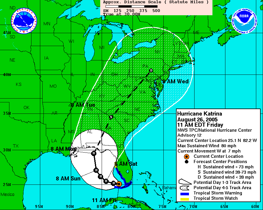
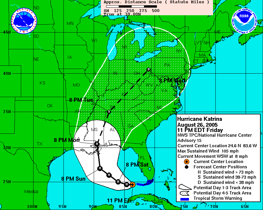
loon wrote:I asked this in another thread but lost it or something. At what point did the Katrina predicton change so drastcially from Big Bend Florida area to the LA/MS/FL area
At 11am Eastern on Friday the NHC path said Panama City. 12 hours later the path was right on target just east of New Orleans, and Panama City was on the outer edge of the 3-day cone.
0 likes
-
BayouVenteux

- S2K Supporter

- Posts: 775
- Age: 64
- Joined: Thu Sep 04, 2003 3:26 pm
- Location: Ascension Parish, Louisiana (30.3 N 91.0 W)
loon wrote:I asked this in another thread but lost it or something. At what point did the Katrina predicton change so drastcially from Big Bend Florida area to the LA/MS/FL area
The Big Bend area landfall projection at 5am Thursday was followed by the time between 11 am and 11 pm the Friday before landfall when the track took a progressive jump west from the western Florida panhandle to the LA/MS border.
http://www.nhc.noaa.gov/archive/2005/KA ... hics.shtml
Last edited by BayouVenteux on Mon Sep 19, 2005 3:30 pm, edited 1 time in total.
0 likes
Andrew '92, Katrina '05, Gustav '08, Isaac '12, Ida '21...and countless other lesser landfalling storms whose names have been eclipsed by "The Big Ones".
mtm4319 wrote:loon wrote:I asked this in another thread but lost it or something. At what point did the Katrina predicton change so drastcially from Big Bend Florida area to the LA/MS/FL area
At 11am Eastern on Friday the NHC path said Panama City. 12 hours later the path was right on target just east of New Orleans, and Panama City was on the outer edge of the 3-day cone.
Thanks, thats about what I thought. Thanks again!
loon
0 likes
-
southerngale

- Retired Staff

- Posts: 27418
- Joined: Thu Oct 10, 2002 1:27 am
- Location: Southeast Texas (Beaumont area)
Locals here are obviously talking a lot about Rita, and planning. For those in the Beaumont/Port Arthur area, I didn't realize that even if it stays on its current track just west of Galveston and is forecast to make landfall as a Cat.3 or higher, they call for evacuations here too. Emergency Management Officials said that unless the course changes away from us, they'll start evacuations Thursday morning. They reminded people that we have a lot more people here, evacuees who are now residents and many without cars so anyone who can leave early, go. As they did for the evacuation of Lili in 2002, they will use city and school buses to get out the thousands without transportation.
Anyway, just heard all that and wanted to pass it along.
Anyway, just heard all that and wanted to pass it along.
0 likes


This is a potentially valuable webpage for those of you wanting to know what kind of wind and water damage you might experience in your area if the storm hits according to the National Hurricane Center prediction--as a 105 knot hurricane a dozen miles to the west of downtown Houston.
http://hurricane.methaz.org/hurapak/AAL ... 48000.html
For instance, Harris County would see peak winds of 112 mph, Montgomery County, 107mph, even sort-of-faraway Victoria would get just under hurricane force winds. 13 counties would get over 100 mph winds! And mind you, this is if it only reaches 105 knots, and this is only factoring in a 10 foot storm surge too in Galveston. A Category 5 storm hitting that same place, according to the Houston Chronicle, would create at least a 23 foot storm surge. Anyway, these are just horrible scenarios possible. It would be best for everyone to be well prepared.
0 likes
-
MGC

- S2K Supporter
- Posts: 5940
- Joined: Sun Mar 23, 2003 9:05 pm
- Location: Pass Christian MS, or what is left.
Considering my experience with Katrina.....If Rita is forecast to effect your area than please get out. If you think you are safe because surge has not reached your house before consider what happened during Katrina. If Rita does become a major hurricane as forecast and you are in Rita's way, then get out. I'm sure there are a thousand of souls who wished they had gotten out in time.......MGC
0 likes
vaffie wrote:This is a potentially valuable webpage for those of you wanting to know what kind of wind and water damage you might experience in your area if the storm hits according to the National Hurricane Center prediction--as a 105 knot hurricane a dozen miles to the west of downtown Houston.
http://hurricane.methaz.org/hurapak/AAL ... 48000.html
For instance, Harris County would see peak winds of 112 mph, Montgomery County, 107mph, even sort-of-faraway Victoria would get just under hurricane force winds. 13 counties would get over 100 mph winds! And mind you, this is if it only reaches 105 knots, and this is only factoring in a 10 foot storm surge too in Galveston. A Category 5 storm hitting that same place, according to the Houston Chronicle, would create at least a 23 foot storm surge. Anyway, these are just horrible scenarios possible. It would be best for everyone to be well prepared.
There's something very strange about that list - if you click on the county names, it lists cities and towns in the county with a breakdown wothin the county. But...
Houston isn't listed in Harris County. Dallas isn't listed in Dallas County or anywhere else I could see and Plano and a few other large suburbs are in the wrong county. Austin and a few other cities in Travis County are listed in other counties.
So I don't see how they can get a good estimate when the data input is incorrect.
0 likes
Shoshana wrote:vaffie wrote:This is a potentially valuable webpage for those of you wanting to know what kind of wind and water damage you might experience in your area if the storm hits according to the National Hurricane Center prediction--as a 105 knot hurricane a dozen miles to the west of downtown Houston.
http://hurricane.methaz.org/hurapak/AAL ... 48000.html
For instance, Harris County would see peak winds of 112 mph, Montgomery County, 107mph, even sort-of-faraway Victoria would get just under hurricane force winds. 13 counties would get over 100 mph winds! And mind you, this is if it only reaches 105 knots, and this is only factoring in a 10 foot storm surge too in Galveston. A Category 5 storm hitting that same place, according to the Houston Chronicle, would create at least a 23 foot storm surge. Anyway, these are just horrible scenarios possible. It would be best for everyone to be well prepared.
There's something very strange about that list - if you click on the county names, it lists cities and towns in the county with a breakdown wothin the county. But...
Houston isn't listed in Harris County. Dallas isn't listed in Dallas County or anywhere else I could see and Plano and a few other large suburbs are in the wrong county. Austin and a few other cities in Travis County are listed in other counties.
So I don't see how they can get a good estimate when the data input is incorrect.
You're right, that is odd... But they do list Harris County with 3.4 million people--hence the 22 billion dollar damage estimate for it, so it might not be completely far out.
0 likes

-
Raider Power

- Tropical Low

- Posts: 45
- Age: 61
- Joined: Wed Aug 11, 2004 4:20 pm
- Location: Houston, TX
Clear Creek ISD closed tomorrow?
Is that because they expect to be evacuating points north of Galveston?
0 likes


Authorities are calling for a
voluntary evacuation of low-lying
areas of Chambers County.
County Judge Jimmy Sylvia says that includes Smith Point, Oak Island, Double Bayou, and all areas south of FM 1985.
On the west side of the county, Cedar Point,
Walker subdivision, and Cove are part of the voluntary evacuation.
The judge says those communities will be the first to be declared mandatory evacuation areas if that becomes necessary.
Students in the High Island School District are out of school until next week due to Hurricane Rita.
High Island ISD released all students Tuesday.
The district plans to resume classes next Monday.
0 likes
Who is online
Users browsing this forum: No registered users and 185 guests