tolakram wrote:Hi mark. There are too many model sites to post here. A simple Google search should help.
Hmmm, that's an interesting response.
I googled "has the 2015 el nino peaked" and the first hit is this:
http://www.cpc.ncep.noaa.gov/products/analysis_monitoring/enso_advisory/ensodisc.html
I believe the key paragraph is this:
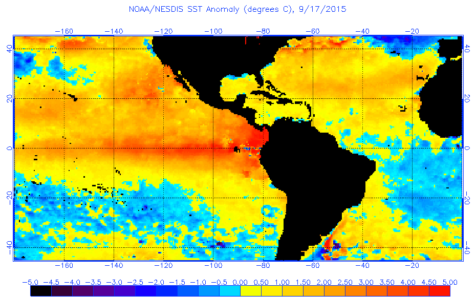
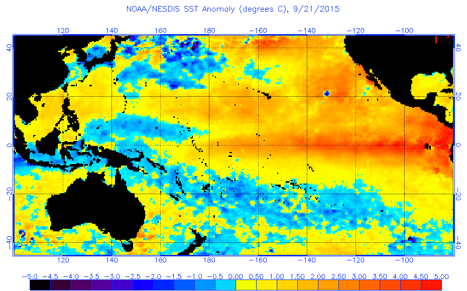
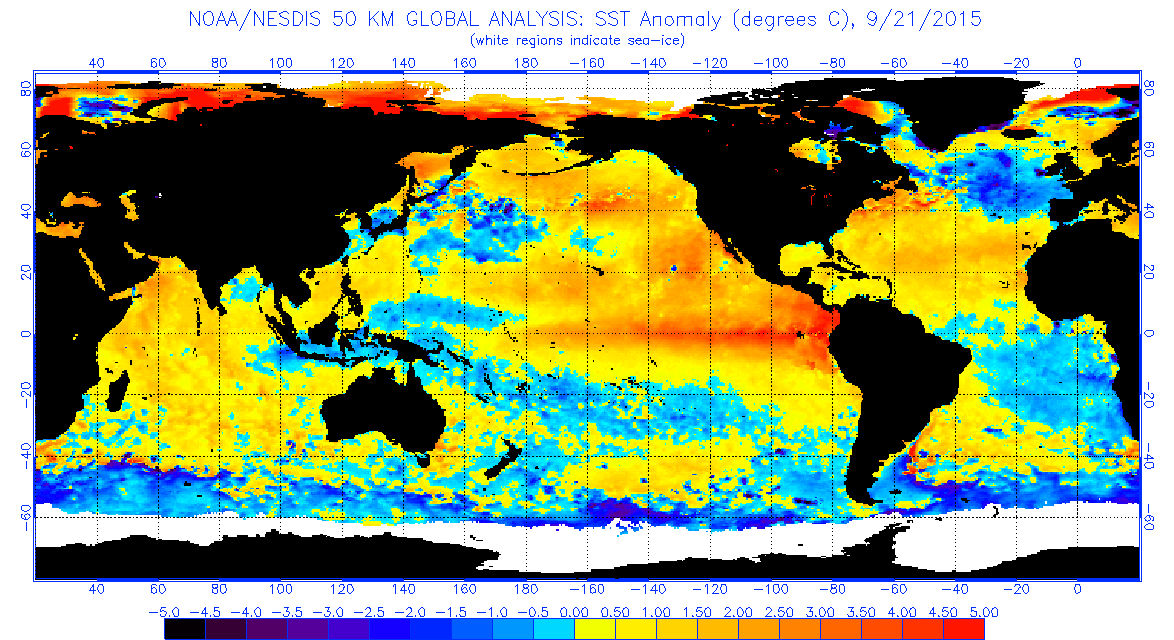
All models surveyed predict El Niño to continue into the Northern Hemisphere spring 2016, and all multi-model averages predict a peak in late fall/early winter (3-month values of the Niño-3.4 index of +1.5oC or greater; Fig. 6). The forecaster consensus unanimously favors a strong El Niño, with peak 3-month SST departures in the Niño 3.4 region near or exceeding +2.0oC. Overall, there is an approximately 95% chance that El Niño will continue through Northern Hemisphere winter 2015-16, gradually weakening through spring 2016 (click CPC/IRI consensus forecast for the chance of each outcome for each 3-month period).
Late fall early winter would be end of November to early December as far as I know, and these guys are the pros, so I think it's safe to stick with that forecast.
That is an interesting response. I can't post the Weatherbell paywall models here. But I agree with you, we best leave this to the ProMets and not argue among ourselves.