
06z - GFS continues pumping out model canes late in the run.
Moderator: S2k Moderators


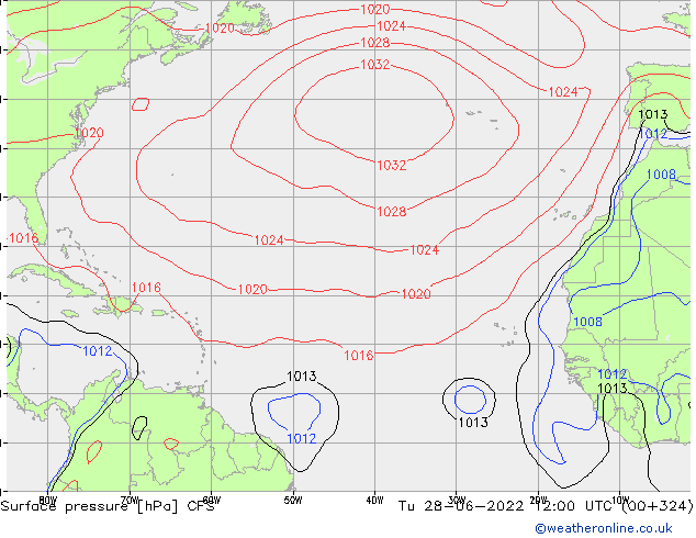
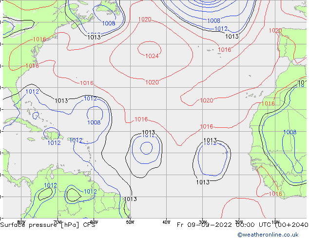
SFLcane wrote:Long range CFS picking up on some potential aew's trying to develop.
https://i.postimg.cc/Jzn5r18H/cfs.gif

aspen wrote:SFLcane wrote:Long range CFS picking up on some potential aew's trying to develop.
https://i.postimg.cc/Jzn5r18H/cfs.gif
Where can I find the CFS model? The links I used last season don’t work anymore.


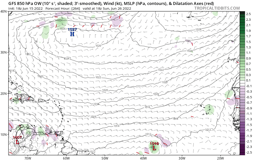
Kingarabian wrote:Long range Euro has something dipping south off the eastern seaboard and attempting to consolidate east of Florida.
https://i.imgur.com/rztRM1u.gif
AlphaToOmega wrote:Much slower start to this season than either 2020 or 2021


SoupBone wrote:Kingarabian wrote:Long range Euro has something dipping south off the eastern seaboard and attempting to consolidate east of Florida.
https://i.imgur.com/rztRM1u.gif
I wonder if this is setting up to be a season of Florida and east coast threats. It has the feel of one of those death ridge type of seasons.

AlphaToOmega wrote:Much slower start to this season than either 2020 or 2021


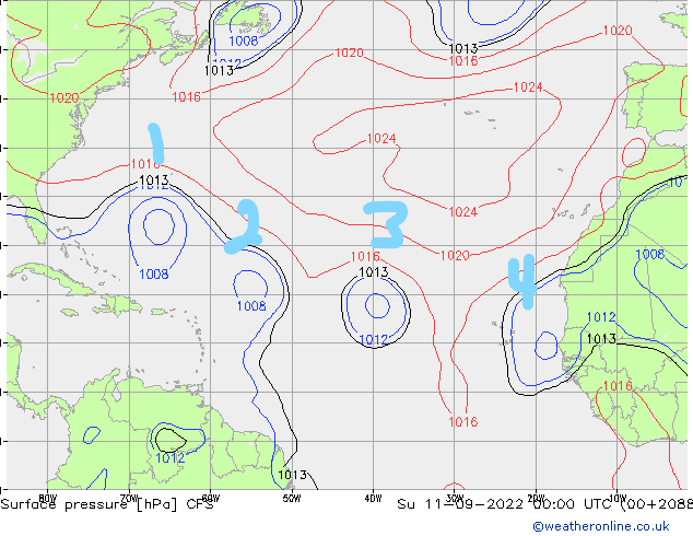
SFLcane wrote:https://i.postimg.cc/ZRwrjRMj/AE2-F3863-B73-C-4-F8-E-AF97-9588-B3677383.gif

weeniepatrol wrote:
This would be an ominous sign.. IF it verified. Good luck with that

Kingarabian wrote:Long range Euro has something dipping south off the eastern seaboard and attempting to consolidate east of Florida.
https://i.imgur.com/rztRM1u.gif


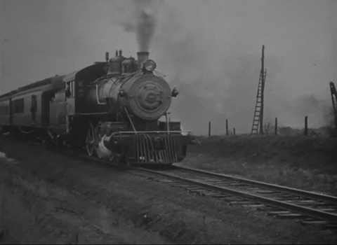
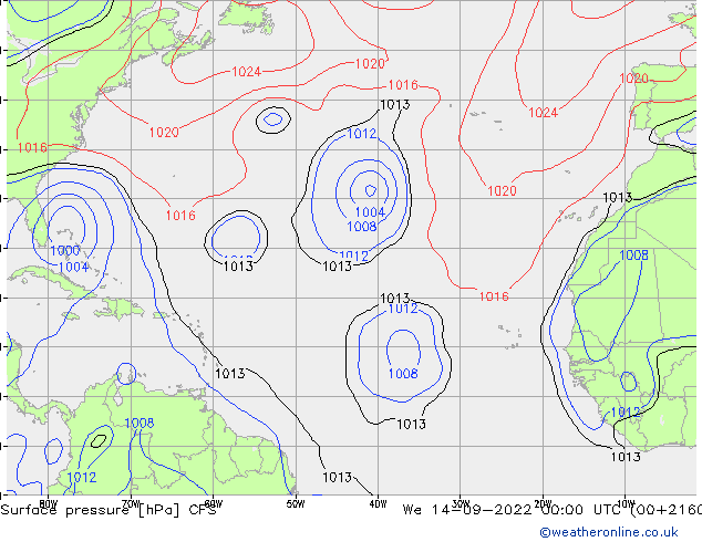
SFLcane wrote:One of them take Frances/Irma type track towards South Florida. Long range CFS so use with extreme caution but the fact its showing wave after wave trying to develop is a good sign a few make could surely make it west.
https://i.postimg.cc/mgJKD7YM/train.gif
https://i.postimg.cc/6qMdQLvN/cfs4-jpeg.gif
https://i.postimg.cc/xdGNCywF/cfs.gif
https://i.postimg.cc/Yq44gHcF/cfs7.gif
Users browsing this forum: Google Adsense [Bot] and 45 guests


