gatorcane wrote:cycloneye wrote:00z CMC
The Canadian model gets into this,but takes a different track than GFS,EURO.It tracks to south of Puerto Rico and slams into Hispanola.
http://moe.met.fsu.edu/cgi-bin/cmctc2.c ... =Animation
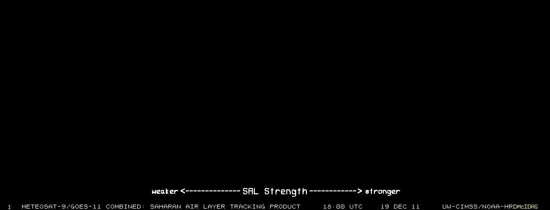
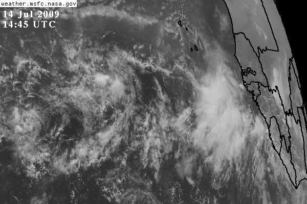
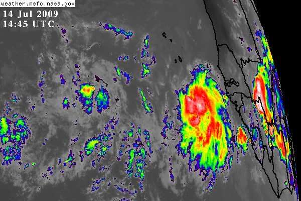
By the way,look at the pics above in this page,how convective is that area South of the CV islands.Instead of convection weakening after the exit from Africa,it has gained.
Yeah that is interesting. The 00Z ECMWF moves it much more west now just north of the leewards/Hispaniola/DR. Then as a tropical wave/weak low into the Bahamas and then Southern FL. In fact looking at the Geopotential 500 hPa, it builds back in the Bermuda High pretty strongly as soon as the big trough lifts out at 168 hours.
It just shows that the ridge/trough setup 7+ days out can definitely change. It's likely going to keep changing. Of course there is only a small chance anything develops in the first place, the best we can hope for.
http://www.ecmwf.int/products/forecasts ... 9071400!!/
I don't know we seem to be stuck with this trough every couple of days reasserting itself.I still think if a cyclone forms it will recurve around 65w. Here a snippet from Miami NWS.
MORE SIGNIFICANT CHANGES MAY TAKE PLACE
BEGINNING OF NEXT WEEK WITH A RATHER VIGOROUS M/U TROUGH DIGGING
SOUTH TO CENTRAL GULF OF MEX LATE SUN/MONDAY PUSHING THE RIDGE
SOUTHWARD AND BRINGING A SOUTHWESTERLY STEERING FLOW AGAIN OVER
SOUTH FLORIDA WITH THE RESULTANT SHIFT IN CONVECTION PATTERN.