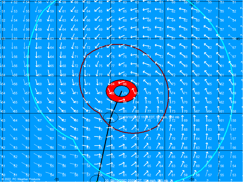
TS Ernesto Satellite,Analysis and Models Thread #7

This is the general tropical discussion area. Anyone can take their shot at predicting a storms path.

Moderator: S2k Moderators

Forum rules

The posts in this forum are NOT official forecasts and should not be used as such. They are just the opinion of the poster and may or may not be backed by sound meteorological data. They are NOT endorsed by any professional institution or STORM2K. For official information, please refer to products from the National Hurricane Center and National Weather Service.

Help Support Storm2K
Message
Author
tgenius
S2K Supporter
S2K Supporter
Posts: 1160
Joined: Mon May 15, 2006 5:31 pm
Location: Miami, FL

#81 Postby tgenius » Tue Aug 29, 2006 12:58 pm

Well If the pressure keeps around 1008, I really don't see it strengthening much..my bigger concern is the system taking it slow upon landfall leaving more and more rain fall...
0 likes   

edbri871
Tropical Low
Tropical Low
Posts: 31
Joined: Wed Sep 22, 2004 1:50 pm

#82 Postby edbri871 » Tue Aug 29, 2006 12:59 pm

I gotta say some of these posts are pathetic. I see one person say, Its moving WNW, then someone replies and say Due North, then somone says its speedign up, and then someone says its slowing down. Does anyone know what the heck they are talking about ? :)
0 likes   

User avatar
TampaFl
S2K Supporter
S2K Supporter
Posts: 1904
Age: 67
Joined: Thu Sep 04, 2003 11:23 am
Location: Tampa, FL

#83 Postby TampaFl » Tue Aug 29, 2006 1:00 pm

2:00PM position.


Image
0 likes   

User avatar
storms in NC
S2K Supporter
S2K Supporter
Posts: 2338
Joined: Thu Jul 28, 2005 2:58 pm
Location: Wallace,NC 40 miles NE of Wilm
Contact:

#84 Postby storms in NC » Tue Aug 29, 2006 1:00 pm

MAX FL WIND 49 KT NE QUAD 16:27:30 Z they are up from 45
0 likes   

User avatar
Ground_Zero_92
S2K Supporter
S2K Supporter
Posts: 292
Joined: Thu Sep 04, 2003 11:23 am
Location: South Hutchinson Island / Stuart, FL

#85 Postby Ground_Zero_92 » Tue Aug 29, 2006 1:00 pm

edbri871 wrote:I gotta say some of these posts are pathetic. I see one person say, Its moving WNW, then someone replies and say Due North, then somone says its speedign up, and then someone says its slowing down. Does anyone know what the heck they are talking about ? :)


Yes, the National Hurricane Center does. Stay tuned to them :wink:
0 likes   

THead
S2K Supporter
S2K Supporter
Posts: 790
Joined: Mon Aug 30, 2004 5:09 pm
Location: Lauderhill, Fla./Jefferson, Ga.

#86 Postby THead » Tue Aug 29, 2006 1:01 pm

Damar91 wrote:How long before it hits the dreaded Gulf Stream?


I believe he is in it now. I think it goes through the fla straits and up the east coast of fla. Correct me if I'm wrong.
0 likes   

User avatar
HollynLA
S2K Supporter
S2K Supporter
Posts: 836
Joined: Sat Aug 28, 2004 10:36 pm
Location: South Louisiana

#87 Postby HollynLA » Tue Aug 29, 2006 1:01 pm

Looks like Ernie will be nothing more than a bad rain event. It hasn't strengthened much, if at all, and the center is very hard to locate.
0 likes   

User avatar
feederband
S2K Supporter
S2K Supporter
Posts: 3423
Joined: Wed Oct 01, 2003 6:21 pm
Location: Lakeland Fl

#88 Postby feederband » Tue Aug 29, 2006 1:01 pm

0 likes   

tgenius
S2K Supporter
S2K Supporter
Posts: 1160
Joined: Mon May 15, 2006 5:31 pm
Location: Miami, FL

#89 Postby tgenius » Tue Aug 29, 2006 1:02 pm

New Vortex shows 2mb pressure drop (from the Chat) same winds though..
0 likes   

User avatar
theworld
Tropical Storm
Tropical Storm
Posts: 197
Joined: Fri Aug 26, 2005 12:33 pm
Location: DelMarVa

#90 Postby theworld » Tue Aug 29, 2006 1:02 pm

gatorcane wrote:anybody have a map of where the Gulf stream is?


oops, the site moved to.. http://www7320.nrlssc.navy.mil/global_nlom32/skill.html
Last edited by theworld on Tue Aug 29, 2006 1:08 pm, edited 2 times in total.
0 likes   

User avatar
gatorcane
S2K Supporter
S2K Supporter
Posts: 23692
Age: 47
Joined: Sun Mar 13, 2005 3:54 pm
Location: Boca Raton, FL

#91 Postby gatorcane » Tue Aug 29, 2006 1:03 pm

HollynLA wrote:Looks like Ernie will be nothing more than a bad rain event. It hasn't strengthened much, if at all, and the center is very hard to locate.


Nope Richard Knabb just said in the 2pm advisory

THIS WILL NOT JUST BE A RAIN EVENT

please don't underestimate Ernesto. :eek:
0 likes   

User avatar
HollynLA
S2K Supporter
S2K Supporter
Posts: 836
Joined: Sat Aug 28, 2004 10:36 pm
Location: South Louisiana

#92 Postby HollynLA » Tue Aug 29, 2006 1:05 pm

gatorcane, it's a TS with winds of 45 mph. It's going to over land within 12 hours so even if it does strengthen slightly, still shouldn't be much for most areas.
0 likes   

User avatar
Damar91
Category 2
Category 2
Posts: 551
Joined: Wed Aug 24, 2005 1:06 pm
Location: Coral Springs, FL

#93 Postby Damar91 » Tue Aug 29, 2006 1:06 pm

You know, it doesn't take a Cat 5 with 200 mph winds to be dangerous. A tropical storm with 60mph winds dumping 15 inches of rain can be just as deadly. I think some of us need to stop and think about how fast 50-65mph really is.
0 likes   

tgenius
S2K Supporter
S2K Supporter
Posts: 1160
Joined: Mon May 15, 2006 5:31 pm
Location: Miami, FL

#94 Postby tgenius » Tue Aug 29, 2006 1:06 pm

Holly..it just dropped 2mb in pressure in latest vortex,and the florida straits are VERY warm....
0 likes   

User avatar
gatorcane
S2K Supporter
S2K Supporter
Posts: 23692
Age: 47
Joined: Sun Mar 13, 2005 3:54 pm
Location: Boca Raton, FL

#95 Postby gatorcane » Tue Aug 29, 2006 1:06 pm

HollynLA wrote:gatorcane, it's a TS with winds of 45 mph. It's going to over land within 12 hours so even if it does strengthen slightly, still shouldn't be much for most areas.


I agree with the NHC and Richard Knabb that there should be more strengthening as it moves over the warm Gulf stream current.
0 likes   

jpigott
Category 2
Category 2
Posts: 692
Joined: Fri Sep 03, 2004 1:31 pm
Location: North Palm Beach, Florida

#96 Postby jpigott » Tue Aug 29, 2006 1:07 pm

down to 1006 mb per newest VDM
0 likes   

User avatar
Noles2006
Category 1
Category 1
Posts: 424
Joined: Thu Jun 08, 2006 9:57 am
Location: Tallahassee, Florida
Contact:

#97 Postby Noles2006 » Tue Aug 29, 2006 1:08 pm

Sorry, guys... I'll eat crow... but the strongest I see this getting is 55-60 MPH... and Damar... the 55-60 would be in isolated areas... and we get thunderstorms with that kind of winds quite regularly here in the FLA...
0 likes   

User avatar
HollynLA
S2K Supporter
S2K Supporter
Posts: 836
Joined: Sat Aug 28, 2004 10:36 pm
Location: South Louisiana

#98 Postby HollynLA » Tue Aug 29, 2006 1:08 pm

Don't get me wrong, I'm not saying it will be like any other day, what I'm saying is that it is what it is, which is a weak TS. The rain will cause problems in some areas, but not the wind.
Last edited by HollynLA on Tue Aug 29, 2006 1:09 pm, edited 1 time in total.
0 likes   

curtadams
S2K Supporter
S2K Supporter
Posts: 1122
Joined: Sun Aug 28, 2005 7:57 pm
Location: Orange, California
Contact:

#99 Postby curtadams » Tue Aug 29, 2006 1:09 pm

TampaFl wrote:2:00PM position.

Where are you getting those wind vectors?
0 likes   

tgenius
S2K Supporter
S2K Supporter
Posts: 1160
Joined: Mon May 15, 2006 5:31 pm
Location: Miami, FL

#100 Postby tgenius » Tue Aug 29, 2006 1:09 pm

Noles2006 wrote:Sorry, guys... I'll eat crow... but the strongest I see this getting is 55-60 MPH... and Damar... the 55-60 would be in isolated areas... and we get thunderstorms with that kind of winds quite regularly here in the FLA...


You get storms with 60mph winds often in Tallahasee? Wow.. news to me. :roll:
0 likes   


Return to “Talkin' Tropics”

Who is online

Users browsing this forum: cainjamin, MarioProtVI, riapal, Stratton23 and 73 guests