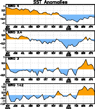
In line with that, the overall temp anonmaly for the region of the pacific looked at (nino region 3.4) is certainly not warming rapidly the last few weeks...actually the average anomaly cooled from +1.0C two weeks ago to +0.9C last week. Essentially 'noise'...but the thing to keep an eye on is there is a resumption of the warming or does it continue to plateau....this will be important in determing how strong the el nino is or isn't. Almost all forecasts are still calling for a weak to moderate el nino....which means the rate of temp increases we have seen this past spring would in fact be expected to slow given the forecasted anomalies.
The SOI values we have been seeing...and the trend for those values to be increasing....is not at all what one would expect with the onset of an el nino. This may be a temporary trend, but it could be one indicator of what the intensity of the el nino could be (or not be).
Looking at historical SOI values from prior el nino years shows just how out of whack the current readings are (values shown are the month's average SOI):
1987: May = -21.6, June = -20.1
1994: May = -13.0, June = -10.4
1997: May = -22.4, June = -24.1
2002: May = -14.5, June = -6.3
2004: May = +13.1, June = -14.4 (rapid decrease in SOI as el nino conditions set in during June)
2006: May = -9.8, June = -6.5
2009: May = -5.1, June = -2.3 (trend shows increase, early July numbers are now over 0)
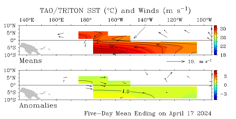
cycloneye wrote:No big changes in this graphic of the anomalies in the Pacific from the past 2 weeks.If I can say of a change and its a minor thing,is that the 1.0C area has shrinked a tad east of 120W,compared to last weeks readings.
/


