Possible Development in EPAC

This is the general tropical discussion area. Anyone can take their shot at predicting a storms path.

Moderator: S2k Moderators

Forum rules

The posts in this forum are NOT official forecasts and should not be used as such. They are just the opinion of the poster and may or may not be backed by sound meteorological data. They are NOT endorsed by any professional institution or STORM2K. For official information, please refer to products from the National Hurricane Center and National Weather Service.

Help Support Storm2K
Message
Author
User avatar
gatorcane
S2K Supporter
S2K Supporter
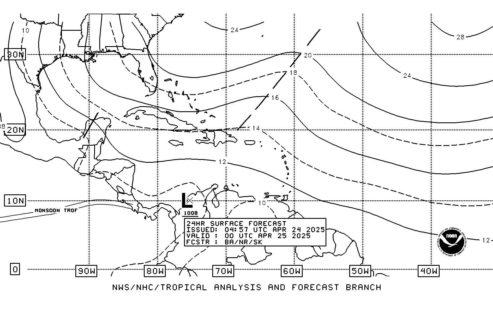
Posts: 23692
Age: 47
Joined: Sun Mar 13, 2005 3:54 pm
Location: Boca Raton, FL

Possible Development in EPAC

#1 Postby gatorcane » Mon May 19, 2008 10:39 am

It's firing nicely today. It's probably going to move into the EPAC though, but some impressive convection indeed. Thoughts? Is this the beginning of the system the GFS is developing for the Western Caribbean (I know the GFS is showing something around 168 hours out)? Any chance it could move into the EPAC and develop? Wind shear is around the 10K range in the extreme SW Caribbean and into the EPAC so upper-level winds do appear favorable. Notice how hostile the environment is just north of this disturbed area with 20K to 30K winds out of the SW across much of the Western Caribbean.

Image

Image

Image
Last edited by gatorcane on Wed May 21, 2008 12:22 pm, edited 4 times in total.
0 likes   

RL3AO
Moderator-Pro Met
Moderator-Pro Met
Posts: 16308
Joined: Thu Jun 14, 2007 10:03 pm
Location: NC

#2 Postby RL3AO » Mon May 19, 2008 11:29 am

Just north of Panama you can see some turning.

Image
0 likes   

User avatar
KWT
Category 5
Category 5
Posts: 31415
Joined: Tue Aug 17, 2004 11:02 am
Location: UK!!!

#3 Postby KWT » Mon May 19, 2008 11:37 am

Yeah the turning is right near where the weak circulation is present according to analysis and there is decent convection nearby but I'm guessing all this is a pretty normal set-up for this part of the world. May need to be watched if it gets into the EPAC however.
0 likes   

User avatar
gatorcane
S2K Supporter
S2K Supporter
Posts: 23692
Age: 47
Joined: Sun Mar 13, 2005 3:54 pm
Location: Boca Raton, FL

Re: Low in SW Caribbean

#4 Postby gatorcane » Mon May 19, 2008 1:35 pm

Looks like this Low will have the best chance of development in the EPAC if it even develops at all. There is a 1011MB low in the extreme SW Caribbean but the convection is being enhanced by the Columbian Low that usually sits in the area of Panama this time of year.

2:05pm TWD Snippet:

THE CARIBBEAN SEA...

CLUSTERS OF MODERATE TO STRONG CONVECTION HAVE DEVELOPED OVER
THE SW CARIBBEAN POSSIBLY ASSOCIATED WITH THE COLOMBIAN LOW AND
A DIFFLUENT PATTERN ALOFT. A 1011 MB LOW IS ANALYZED NEAR 9N76W.
THIS ACTIVITY IS FORECAST BY THE COMPUTER MODELS TO SPREAD OVER
PARTS OF CENTRAL AMERICA DURING THE NEXT FEW DAYS. PRES GRADIENT
BETWEEN A SFC RIDGE ALONG THE GREATER ANTILLES AND THE COLOMBIAN
LOW IS PRODUCING MODERATE TO FRESH TRADE WINDS ACROSS THE
SOUTH-CENTRAL CARIBBEAN. A QUIKSCAT PASS FROM AROUND 11Z SHOWED
ELY WINDS OF 20 TO 25 KT IN THIS AREA. THESE WINDS VEER SE OVER
THE NW WATERS IN RESPONSE TO THE TROUGH IN THE GULF OF MEXICO.
0 likes   

User avatar
wyq614
Category 3
Category 3
Posts: 827
Age: 37
Joined: Sun Dec 02, 2007 12:32 am
Location: Beijing, China (Hometown: Qingdao, China, 36.06N 120.43E)
Contact:

#5 Postby wyq614 » Tue May 20, 2008 4:05 am

Image

Aquí vendrá el ALMA
0 likes   

Cryomaniac
Category 5
Category 5
Posts: 1289
Joined: Tue Aug 15, 2006 2:26 pm
Location: Newark, Nottinghamshire, UK
Contact:

#6 Postby Cryomaniac » Tue May 20, 2008 7:31 am

:uarrow: I would love to answer you in Spanish, but I don't really speak enough of it.

I wouldn't put too much trust in 240 hour model runs.
0 likes   

User avatar
Meso
Category 5
Category 5
Posts: 1609
Age: 38
Joined: Mon Aug 09, 2004 12:14 pm
Location: South Africa
Contact:

#7 Postby Meso » Tue May 20, 2008 7:39 am

The low develops in 160 hours which isn't that far out.. Still quite a lot but plausible.The GFS is also showing something there..
0 likes   

User avatar
gatorcane
S2K Supporter
S2K Supporter
Posts: 23692
Age: 47
Joined: Sun Mar 13, 2005 3:54 pm
Location: Boca Raton, FL

Re:

#8 Postby gatorcane » Tue May 20, 2008 8:27 am

Meso wrote:The low develops in 160 hours which isn't that far out.. Still quite a lot but plausible.The GFS is also showing something there..


Indeed here is the GFS at 168 hours showing the low emerging into the EPAC and deepening.

Image
0 likes   

User avatar
KWT
Category 5
Category 5
Posts: 31415
Joined: Tue Aug 17, 2004 11:02 am
Location: UK!!!

#9 Postby KWT » Tue May 20, 2008 8:48 am

The GFS does indeed try and develop a weak system in the EPAC.

I've got a funny feeling that the TC the ECM forms and the Caribbean system of the GFS are one and the same thing just placed differently.

Quite a strong system on the ECM, that would probably be something like a strong TS I'd guess though of course its hard to say that with the resolution issues.
0 likes   

CrazyC83
Professional-Met
Professional-Met
Posts: 34005
Joined: Tue Mar 07, 2006 11:57 pm
Location: Deep South, for the first time!

#10 Postby CrazyC83 » Tue May 20, 2008 9:29 am

Maybe this will be the first storm of the EPAC season? I can't see it doing anything in the Caribbean though...
0 likes   

User avatar
wyq614
Category 3
Category 3
Posts: 827
Age: 37
Joined: Sun Dec 02, 2007 12:32 am
Location: Beijing, China (Hometown: Qingdao, China, 36.06N 120.43E)
Contact:

Re:

#11 Postby wyq614 » Tue May 20, 2008 10:36 am

Cryomaniac wrote::uarrow: I would love to answer you in Spanish, but I don't really speak enough of it.

I wouldn't put too much trust in 240 hour model runs.


I do trust ECWMF, for its perfect performance forecasting Nargis and Neoguri. Hope it can also do very well in the other side of the world.
0 likes   

User avatar
gatorcane
S2K Supporter
S2K Supporter
Posts: 23692
Age: 47
Joined: Sun Mar 13, 2005 3:54 pm
Location: Boca Raton, FL

Re: 1011MB Low in SW Caribbean Moving into Central America

#12 Postby gatorcane » Tue May 20, 2008 12:52 pm

TAFB depiction of low as it moves onshore Nicaragua:

Image
0 likes   

User avatar
gatorcane
S2K Supporter
S2K Supporter
Posts: 23692
Age: 47
Joined: Sun Mar 13, 2005 3:54 pm
Location: Boca Raton, FL

#13 Postby gatorcane » Tue May 20, 2008 1:36 pm

2:05pm TWD snippet. While the convection is deepening the fact the low is moving inland into Nicaragua should mean the convection will wane over the next 24-48 hours.

CARIBBEAN SEA...

ACTIVE WEATHER LIES OVER THE SW WATERS. IR IMAGERY AND LIGHTNING
DATA INDICATE SCATTERED SHOWERS AND TSTMS DEEPENING AND EXPANDING
OVER THE PAST FEW HOURS FROM 11N-14N BETWEEN 76W-82W. THE FORCING
FOR THIS ACTIVITY INCLUDES A 1010 MB SFC LOW JUST OFF THE COAST OF
SE NICARAGUA AND AN UPPER DIFFLUENT PATTERN ON THE S SIDE OF A BROAD
UPPER RIDGE. NWP MODELS SHOW THIS LOW...OR ITS ASSOCIATED VORTICITY
...MOVING INLAND OVER THE NEXT 24 HOURS.
0 likes   

User avatar
Meso
Category 5
Category 5
Posts: 1609
Age: 38
Joined: Mon Aug 09, 2004 12:14 pm
Location: South Africa
Contact:

#14 Postby Meso » Wed May 21, 2008 2:12 am

Image
0 likes   

Ed Mahmoud

Re: 1010MB Low in SW Caribbean Moving into Central America

#15 Postby Ed Mahmoud » Wed May 21, 2008 8:15 am

0Z UK Met has a weak system on the Pacific coast of Nicaragua in 6 days, more obvious on 850 mb vorticity chart, but observable on the SLP forecast.
Image


6Z GFS is a bit further East, in the Caribbean.

Image


It seems something may get going, although that isn't certain, and the next question is which basin will it be in?
0 likes   

User avatar
gatorcane
S2K Supporter
S2K Supporter
Posts: 23692
Age: 47
Joined: Sun Mar 13, 2005 3:54 pm
Location: Boca Raton, FL

#16 Postby gatorcane » Wed May 21, 2008 11:06 am

this low is enhancing convection off the coast of Costa Rica this morning. I think this area will need to be monitored for development

Image
0 likes   

RL3AO
Moderator-Pro Met
Moderator-Pro Met
Posts: 16308
Joined: Thu Jun 14, 2007 10:03 pm
Location: NC

#17 Postby RL3AO » Wed May 21, 2008 11:10 am

Quikscat showed some slight turning near 10N 88W. Nothing too impressive.
0 likes   

tolakram
Admin
Admin
Posts: 20017
Age: 62
Joined: Sun Aug 27, 2006 8:23 pm
Location: Florence, KY (name is Mark)

Re: Possible Development in EPAC from Central America Low

#18 Postby tolakram » Wed May 21, 2008 11:10 am

But does it bear watching?
0 likes   

User avatar
gatorcane
S2K Supporter
S2K Supporter
Posts: 23692
Age: 47
Joined: Sun Mar 13, 2005 3:54 pm
Location: Boca Raton, FL

Re: Possible Development in EPAC from Central America Low

#19 Postby gatorcane » Wed May 21, 2008 11:15 am

tolakram wrote:But does it bear watching?


Not quite yet -- I want to see if the convection is persistent. The last couple of hours shows some warming of the cloud tops so I am not convinced yet. It may take a good 2-3 days before something, if anything, tries to get going there.
0 likes   

Ed Mahmoud

Re: Possible Development in EPAC from Central America Low

#20 Postby Ed Mahmoud » Wed May 21, 2008 11:23 am

gatorcane wrote:
tolakram wrote:But does it bear watching?


Not quite yet -- I want to see if the convection is persistent. The last couple of hours shows some warming of the cloud tops so I am not convinced yet. It may take a good 2-3 days before something, if anything, tries to get going there.


So, a 'bears watch' watch, but not yet a 'bears watch' warning.
0 likes   


Return to “Talkin' Tropics”

Who is online

Users browsing this forum: No registered users and 37 guests