By far the largest one we've seen in 2008. Because of the above average water temps in the EATL and the relatively low shear enviornment we can see potentially a tropical depression form before 30-35W.
Moderator: S2k Moderators


Cryomaniac wrote:This post is the opinion of Cryomanaic, and is not based on any evidence, meteorological, economic or otherwise, and as such it should not be used for any purpose
It's still June, so rightly it should go poof by 35W, but I'm not going to say that that will happen, stranger things have happened at sea.


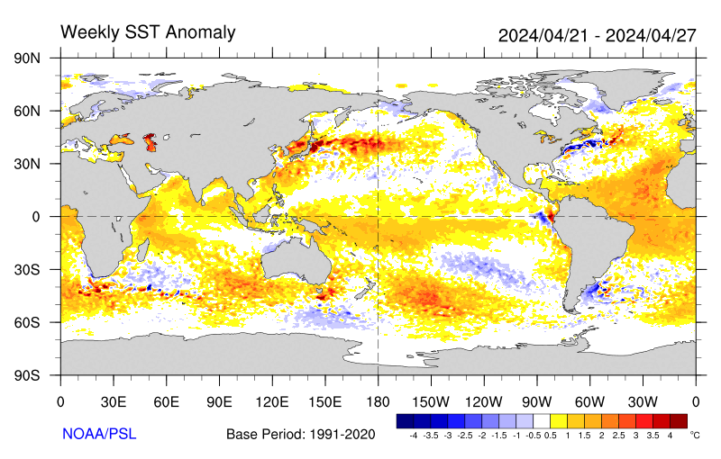
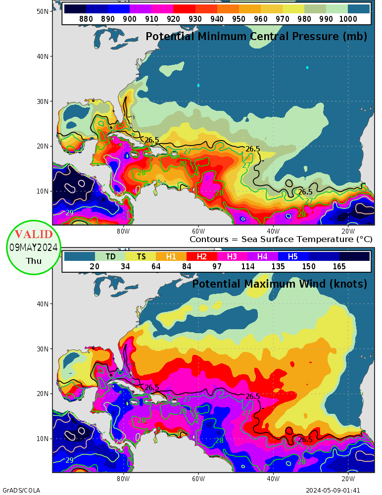
wxman57 wrote:SSTs are still a bit cool out in the east Atlantic. We see this situation every year in June through mid July. Big wave, GFS develops it, then it dies after a day or two over water. While upper-level winds are becoming more favorable for development, check out the lower level winds east of the Caribbean. Waves passing 50W are running into accelerating flow (divergence) in the lower few thousand feet. That's why they're "poofing-out".
Frank2 wrote:The convection moving off Africa had more of a squall-line appearance that a low pressure system, which could mean a greater chance that it will dissipate once it reaches the cooler ocean surface later today or tonight...
We'll see what happens...
P.S. In just checking the NRL photo, this appears to be already weakening, and, lots of cool air strato-cu to the west of Africa, so, anything that forms will have a very hard time. I'm not sure where spacethrilla (who posted on S2K for the first time today) is getting the SST data, but, as others have said (and the cool-air strato-cu reveals) the SST's in the Eastern Atlantic are actually continuing to run a bit below normal, as has been the case over the past two hurricane seasons...


