Convection in Yucatan
Moderator: S2k Moderators
Forum rules

The posts in this forum are NOT official forecasts and should not be used as such. They are just the opinion of the poster and may or may not be backed by sound meteorological data. They are NOT endorsed by any professional institution or STORM2K. For official information, please refer to products from the National Hurricane Center and National Weather Service.
-
bbadon
- Tropical Storm

- Posts: 190
- Joined: Fri Sep 05, 2003 7:21 am
- Location: Johnson Bayou, LA
- Contact:
Convection in Yucatan
So whats going on at 20/70 . Rember that 1to punch scenario come of the models alluding to.
Last edited by cycloneye on Mon Jul 26, 2010 10:40 am, edited 2 times in total.
Reason: Edited title to change location
Reason: Edited title to change location
0 likes

Re: Convection Near Peurto Rico
Its a tutt low north of Puerto Rico.That got my interest last night while looking at Bonnie.
0 likes

Double Punch? (area near PR/DR)
bbadon wrote:Off Topic: Can every one take a peak at 20 70 and comment in talking tropics. Remember the 1 2 punch?
Is this what you're talking about? I've been watching this area while Bonnie has been bearing down on FL.
It was Bonnie's "Tail", if you will, at one point... maybe it is the 1-2 punch?

Last edited by TheBurn on Fri Jul 23, 2010 1:05 pm, edited 2 times in total.
0 likes
-
Vortmax1
- Category 1

- Posts: 360
- Joined: Wed Jul 07, 2010 11:35 pm
- Location: Port Salerno, FL
- Contact:
I suppose anything can happen.
There's another TUTT to the North of this area that will be shearing the area into Sunday and high pressure is forecast to move in after the T wave passes through.
Puerto Rico NWS is calling for pleasant weathernext week.
It doesn't look favorable for tropical development.
There's another TUTT to the North of this area that will be shearing the area into Sunday and high pressure is forecast to move in after the T wave passes through.
Puerto Rico NWS is calling for pleasant weathernext week.
It doesn't look favorable for tropical development.
0 likes
Re: Convection Near Peurto Rico
i was wondering about this as well
http://www.ssd.noaa.gov/goes/east/tatl/flash-avn.html
http://www.ssd.noaa.gov/goes/east/tatl/flash-avn.html
0 likes
CARTERET COUNTY NC

Re: Double Punch?
I know conditions are not favorable, and looking at the MIMIC pretty much confirms there's "nothing behind this", but...
To my amateur eyes it just looks like something is trying to get going in this area.
http://www.ssd.noaa.gov/goes/east/tatl/flash-rb.html

To my amateur eyes it just looks like something is trying to get going in this area.
http://www.ssd.noaa.gov/goes/east/tatl/flash-rb.html

0 likes
-
dolebot_Broward_NW
- Category 2

- Posts: 529
- Joined: Fri Sep 10, 2004 6:38 am
-
lrak

- S2K Supporter

- Posts: 1770
- Age: 59
- Joined: Thu Jun 21, 2007 2:48 pm
- Location: Corpus Christi, TX
Re: Convection Near Peurto Rico
Another one, this IS going to be a busy season.
0 likes
AKA karl
Also
Personal Forecast Disclaimer:
My posts on this forum are NOT official forecast and should not be used as such. My posts are my basic observations and are definitely not backed by any "well some" meteorological knowledge. For official information, please refer to the NHC and NWS products.
Also
Personal Forecast Disclaimer:
My posts on this forum are NOT official forecast and should not be used as such. My posts are my basic observations and are definitely not backed by any "well some" meteorological knowledge. For official information, please refer to the NHC and NWS products.
-
HouTXmetro

- Category 5

- Posts: 3949
- Joined: Sun Jun 13, 2004 6:00 pm
- Location: District of Columbia, USA
-
HURAKAN

- Professional-Met

- Posts: 46084
- Age: 39
- Joined: Thu May 20, 2004 4:34 pm
- Location: Key West, FL
- Contact:
Loop - http://rammb.cira.colostate.edu/ramsdis ... asec4ir304
Convective activity enhanced by another ULL
Convective activity enhanced by another ULL
0 likes
-
Riptide

- Category 2
- Posts: 753
- Age: 34
- Joined: Fri Jul 23, 2010 3:33 pm
- Location: Cape May, New Jersey
- Contact:
Re: Convection Near Peurto Rico
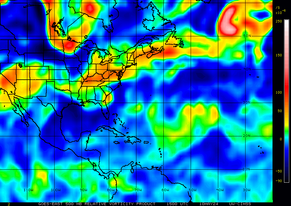
I suppose you can't disregard it entirely based on this vorticity chart. Perhaps it will obtain invest status if it sustains this area of vorticity.
Opps, this is my first post!
It is true that I have been lurking around the forum for some time as a guest. I'm proud to join the wonderful tropical discussion that occurs on storm2k.
Opps, this is my first post!
It is true that I have been lurking around the forum for some time as a guest. I'm proud to join the wonderful tropical discussion that occurs on storm2k.
0 likes

Re: Convection Near Peurto Rico
There is some convection converging just off the tip of Hispaniola, probably from the TUTT interacting with tropical wave in the vicinity. The upper air environment looks a little better but with the proximity to land I don't know if this could be considered a favored area for development. Did JB mention a scenario with this wave?
0 likes

-
HURAKAN
- Professional-Met
- Posts: 46084
- Age: 39
- Joined: Thu May 20, 2004 4:34 pm
- Location: Key West, FL
- Contact:
Link - http://www.accuweather.com/video/193964 ... l=vbbastaj
JB video talking about this system, but he also says that the wave behind (now in the central atlantic) will play a role but everything is for next week.
JB video talking about this system, but he also says that the wave behind (now in the central atlantic) will play a role but everything is for next week.
0 likes
Re: Convection Near Peurto Rico
The area had the look of something going warm core in the water vapor imagery. Notice how the convection is converging toward the center of the mid level circulation? Once the tropical wave adds its energy maybe we will see some fireworks.
0 likes
-
StarmanHDB

- Tropical Storm
- Posts: 202
- Age: 61
- Joined: Wed Sep 02, 2009 7:59 pm
- Location: West Palm Beach, Florida
OK....I think I see some very clear circulation for two t-waves roughly situated near 18N, 69W and 17.5N, 59W. For the sake of my own personal education, what's the current meteorological story on these two? Remember, I'm still learning so educative responses are greatly appreciated!
Thanks!

Thanks!
0 likes


Who is online
Users browsing this forum: hurricanes1234 and 154 guests