I like it.
http://uanews.ua.edu/2010/11/students-a ... -warnings/
UA Research Seeks to Improve Hurricane Warnings....
Moderator: S2k Moderators
Forum rules

The posts in this forum are NOT official forecasts and should not be used as such. They are just the opinion of the poster and may or may not be backed by sound meteorological data. They are NOT endorsed by any professional institution or STORM2K. For official information, please refer to products from the National Hurricane Center and National Weather Service.
-
Dean4Storms
- S2K Supporter

- Posts: 6358
- Age: 63
- Joined: Sun Aug 31, 2003 1:01 pm
- Location: Miramar Bch. FL
-
vbhoutex

- Storm2k Executive

- Posts: 29150
- Age: 74
- Joined: Wed Oct 09, 2002 11:31 pm
- Location: Cypress, TX
- Contact:
Re: UA Research Seeks to Improve Hurricane Warnings....
I don't like it. I think it would be confusing to most people even though they surveyed 300 people. I would think that people would look at the large red area and get confused even with the lines that make up the triangle.
0 likes
Skywarn, C.E.R.T.
Please click below to donate to STORM2K to help with the expenses of keeping the site going:

Please click below to donate to STORM2K to help with the expenses of keeping the site going:
-
HURAKAN

- Professional-Met

- Posts: 46084
- Age: 39
- Joined: Thu May 20, 2004 4:34 pm
- Location: Key West, FL
- Contact:
Re: UA Research Seeks to Improve Hurricane Warnings....
and how is that more accurate than this? also, looking at their graph, how do u use a rectangle when the forecast lines draw a cone?
0 likes


Re: UA Research Seeks to Improve Hurricane Warnings....
I don't like it either, actually I don't see why the actual format needs to be modified.
0 likes
-
MGC

- S2K Supporter
- Posts: 5941
- Joined: Sun Mar 23, 2003 9:05 pm
- Location: Pass Christian MS, or what is left.
Re: UA Research Seeks to Improve Hurricane Warnings....
People here on S2K are way above the curve when it come to issues like this. What we have to worry about are the people way below the curve, like those that didn't evacuate for Katrina and paid with their lives. Now, I'm sure there were lots of different reasons for people not to evacuate in the face of potential death. Perhaps a new method of warning could make the threat a bit more clear to the folks who didn't heed the evacuation warning......MGC
0 likes
-
brunota2003

- S2K Supporter
- Posts: 9476
- Age: 35
- Joined: Sat Jul 30, 2005 9:56 pm
- Location: Stanton, KY...formerly Havelock, NC
- Contact:
Why just Cat 3? Aren't TS, Cat 1, and Cat 2 winds important as well? A better idea would be to create a cone that the entire hurricane would be covered in. That way people don't think "Oh, I'm not in the Cat 3 red, so I'll be fine!" and then get slammed with Cat 1/2 winds and get rudely awakened.
0 likes
-
wxman57

- Moderator-Pro Met

- Posts: 23175
- Age: 68
- Joined: Sat Jun 21, 2003 8:06 pm
- Location: Houston, TX (southwest)
Re: UA Research Seeks to Improve Hurricane Warnings....
That graphic obviously has a major typo. The rectangle should be a triangle, as mentioned in the article. As a rectangle, it's indicating the same threat exists quite far from the track at the 0hr point as at the 72hr point.
I do agree that using a probability of wind impact would be a far better means of warning than the standard error cone. That's why we're using such probabilities for our clients. I make a lot of hurricane preparedness presentations each year, and I can tell you that almost no one out there in the general public knows what that cone really means (66.7% 5-yr track error percentile).
The great part about probabilities of wind impact vs. a one-size-fits-all cone is that such wind probabilities could take into consideration the size of a hurricane's wind field. For a storm like Katrina or Ike, the high wind probabilities would extend well outside the standard cone, indicating a significant threat well away from the projected track. For a small storm like Charley, the threat would be confined to a much narrower area.
Hopefully, the NHC just sticks with the meaningless cone. They don't need to copy us.
0 likes
-
thetruesms

- Professional-Met
- Posts: 844
- Age: 42
- Joined: Thu Aug 16, 2007 1:14 pm
- Location: Tallahasee, FL
- Contact:
While it's been pointed out in the past, I think that again they highlight the biggest drawback to the current graphic form - that it focuses on the center, rather than the impacts of the storm. However, I find their "most approved" graphic clunky, and probably overstates things.
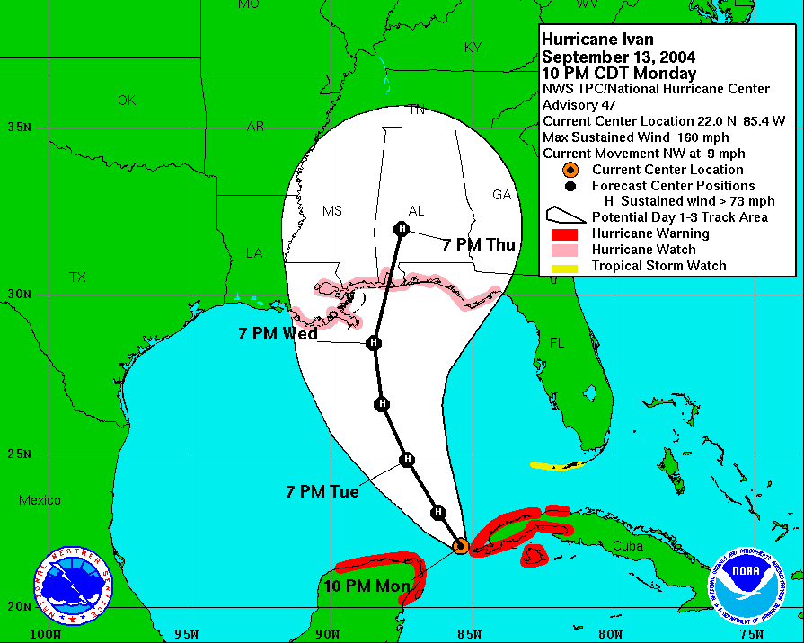
Why not combine this:

and this:

to create a new graphic?
It focuses on the wind impacts rather than the center, but could have the forecast center points on it. The main drawback would be the need to create multiple graphics for different wind speeds, and if you wanted to put watches and warnings on there, it would start to get pretty busy.
Why not combine this:
and this:
to create a new graphic?
It focuses on the wind impacts rather than the center, but could have the forecast center points on it. The main drawback would be the need to create multiple graphics for different wind speeds, and if you wanted to put watches and warnings on there, it would start to get pretty busy.
0 likes
Who is online
Users browsing this forum: cycloneye, Ed_2001, Hurricane2022, tolakram and 183 guests