http://www.met.nps.edu/~mtmontgo/storms2012/P09L.html
SYNOPSIS 2012072800
* Still working on GFS computer issues.
P09L
10N, 4W
700 hPa
ECMWF: Phase speed is based upon v700 during days 3-5. Uncertain positions as I track a tiny OW max within the monsoon trough over West Africa for the first 48 hours. As soon as it moves over the ocean, though, a distinct pouch is depicted fairly quickly that continues to move westward.
GFS:
UKMET: Several uncertain positions when depicted as only an OW max. When it moves out over the Atlantic, P09L is simply a zonally-elongated ITCZ circulation that doesn't move westward, at least not quickly. I stop tracking at that point at 72 hours.
NOGAPS: NOGAPS does actually have an OW max in the same area, and it moves westward out over the ocean, where it stalls. Eventually, a pouch with a CL-trough intersection is also depicted there at day 4 that starts to move slowly westward. So, although slower than ECMWF, NOGAPS has about the same story. However, I don't track anything because four days is too long for me to assign uncertain positions based only upon an OW max. Note that I had to use the v850 Hovmoller to find some sort of signal.


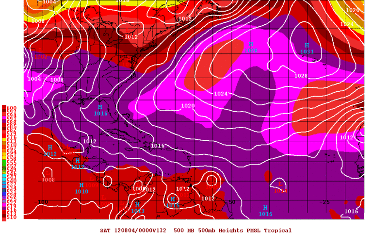
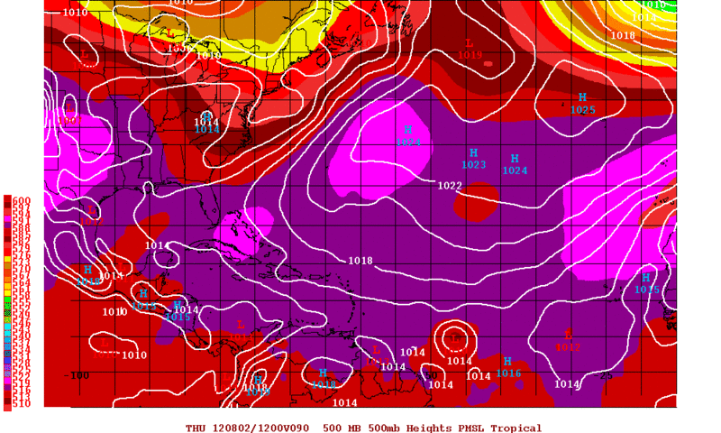
 I am a little bit confused in terms of the true location of the pouch as no wave has been introduced yet. That weak low is well west of the pouch analized by the predict team. But the sure location in terms of the area in general is somewhere in Eastern Atlantic