Western Gulf of Mexico....
Moderator: S2k Moderators
Forum rules
The posts in this forum are NOT official forecasts and should not be used as such. They are just the opinion of the poster and may or may not be backed by sound meteorological data. They are NOT endorsed by any professional institution or STORM2K. For official information, please refer to products from the National Hurricane Center and National Weather Service.
-
Dean4Storms
- S2K Supporter

- Posts: 6358
- Age: 63
- Joined: Sun Aug 31, 2003 1:01 pm
- Location: Miramar Bch. FL
Western Gulf of Mexico....
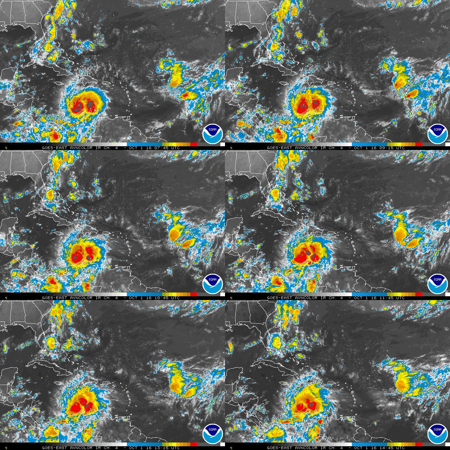
I believe I see some spin over eastern Mexico and Convection is building with this out over the western Gulf. There is nothing else going on, at least needs to be monitored. One thing for sure, lots of moisture surging northward toward TX.
http://www.ssd.noaa.gov/goes/east/gmex/flash-vis.html
http://www.ssd.noaa.gov/goes/east/gmex/flash-vis.html
0 likes
- srainhoutx
- S2K Supporter

- Posts: 6919
- Age: 68
- Joined: Sun Jan 14, 2007 11:34 am
- Location: Haywood County, NC
- Contact:
Re: Western Gulf of Mexico....
The NCEP Tropical Cyclone Genesis Probabilities have been very insistent on some sort of disturbed weather developing in this area for multiple days. Surface pressures are a bit low, but a MCV moved offshore from Monterrey yesterday and very deep convection has maintained oovernight. It is sheared, but a trough does extend across the Western Gulf with PW's near 2.5 And the general movement is N to NW into the shear axis across Texas and Western Louisiana.
0 likes
Carla/Alicia/Jerry(In The Eye)/Michelle/Charley/Ivan/Dennis/Katrina/Rita/Wilma/Ike/Harvey
Member: National Weather Association
Wx Infinity Forums
http://wxinfinity.com/index.php
Facebook.com/WeatherInfinity
Twitter @WeatherInfinity
Member: National Weather Association
Wx Infinity Forums
http://wxinfinity.com/index.php
Facebook.com/WeatherInfinity
Twitter @WeatherInfinity
- tropicwatch
- Category 5

- Posts: 3427
- Age: 62
- Joined: Sat Jun 02, 2007 10:01 am
- Location: The Villages, Florida
- Contact:
Re: Western Gulf of Mexico....
The shear in the area is still quite high. If the convection persists over the GOM and the shear diminishes, we could have a home grown system.


0 likes
Tropicwatch
Agnes 72', Eloise 75, Elena 85', Kate 85', Charley 86', Florence 88', Beryl 94', Dean 95', Erin 95', Opal 95', Earl 98', Georges 98', Ivan 2004', Arlene 2005', Dennis 2005', Ida 2009' Debby 2012' Irma 2017' Michael 2018'
Agnes 72', Eloise 75, Elena 85', Kate 85', Charley 86', Florence 88', Beryl 94', Dean 95', Erin 95', Opal 95', Earl 98', Georges 98', Ivan 2004', Arlene 2005', Dennis 2005', Ida 2009' Debby 2012' Irma 2017' Michael 2018'
-
hurricanes1234
- Category 5

- Posts: 2908
- Joined: Sat Jul 28, 2012 6:19 pm
- Location: Trinidad and Tobago
Compare 20, 30, 40, 50 and 60 knots of wind shear over the deep tropics and Caribbean Sea with values of 5-10 knots of shear over the whole portion of the EPAC in the image and that is just one thing that tells you the EPAC is acting very different from the rest of the northern hemisphere. 
0 likes
PLEASE NOTE: With the exception of information from weather agencies that I may copy and paste here, my posts will NEVER be official, since I am NOT a meteorologist. They are solely my amateur opinion, and may or may not be accurate. Therefore, please DO NOT use them as official details, particularly when making important decisions. Thank you.
-
Stormcenter
- S2K Supporter

- Posts: 6689
- Joined: Wed Sep 03, 2003 11:27 am
- Location: Houston, TX
-
hurricanes1234
- Category 5

- Posts: 2908
- Joined: Sat Jul 28, 2012 6:19 pm
- Location: Trinidad and Tobago
Re: Western Gulf of Mexico....
stormlover2013 wrote:Just good tropical moisture!!!
Yes, I personally don't see any development from this. Conditions are too hostile at the moment, it's situated in roughly 50 knots of wind shear!
Edit: I really meant development in terms of tropical cyclones.
Last edited by hurricanes1234 on Wed Jun 25, 2014 1:53 pm, edited 1 time in total.
0 likes
PLEASE NOTE: With the exception of information from weather agencies that I may copy and paste here, my posts will NEVER be official, since I am NOT a meteorologist. They are solely my amateur opinion, and may or may not be accurate. Therefore, please DO NOT use them as official details, particularly when making important decisions. Thank you.
-
Stormcenter
- S2K Supporter

- Posts: 6689
- Joined: Wed Sep 03, 2003 11:27 am
- Location: Houston, TX
- tropicwatch
- Category 5

- Posts: 3427
- Age: 62
- Joined: Sat Jun 02, 2007 10:01 am
- Location: The Villages, Florida
- Contact:
Re: Western Gulf of Mexico....
The wind shear is only around 10kts over the big blow up in the western gulf.


0 likes
Tropicwatch
Agnes 72', Eloise 75, Elena 85', Kate 85', Charley 86', Florence 88', Beryl 94', Dean 95', Erin 95', Opal 95', Earl 98', Georges 98', Ivan 2004', Arlene 2005', Dennis 2005', Ida 2009' Debby 2012' Irma 2017' Michael 2018'
Agnes 72', Eloise 75, Elena 85', Kate 85', Charley 86', Florence 88', Beryl 94', Dean 95', Erin 95', Opal 95', Earl 98', Georges 98', Ivan 2004', Arlene 2005', Dennis 2005', Ida 2009' Debby 2012' Irma 2017' Michael 2018'
- Hurricaneman
- Category 5

- Posts: 7404
- Age: 45
- Joined: Tue Aug 31, 2004 3:24 pm
- Location: central florida
If this area persist into tonight near Texas they might lemon 10% it or even maybe give it an invest designation if the convection remains strong but as is it wouldn't have much time to do anything
The posts in this forum are NOT official forecast and should not be used as such. They are just the opinion of the poster and may or may not be backed by sound meteorological data. They are NOT endorsed by any professional institution or storm2k.org. For official information, please refer to the NHC and NWS products
The posts in this forum are NOT official forecast and should not be used as such. They are just the opinion of the poster and may or may not be backed by sound meteorological data. They are NOT endorsed by any professional institution or storm2k.org. For official information, please refer to the NHC and NWS products
0 likes
-
TheStormExpert
Re:
Hurricaneman wrote:If this area persist into tonight near Texas they might lemon 10% it or even maybe give it an invest designation if the convection remains strong but as is it wouldn't have much time to do anything
The posts in this forum are NOT official forecast and should not be used as such. They are just the opinion of the poster and may or may not be backed by sound meteorological data. They are NOT endorsed by any professional institution or storm2k.org. For official information, please refer to the NHC and NWS products
The first thing that comes to mind is Hurricane Humberto(2007) which rapidly intensified in the same region in less than 24hrs. Though something like seems very unlikely to happen here.
0 likes
-
Dean4Storms
- S2K Supporter

- Posts: 6358
- Age: 63
- Joined: Sun Aug 31, 2003 1:01 pm
- Location: Miramar Bch. FL
This is a good loop where you can see the sheer from the front blowing up convection.
http://wwwghcc.msfc.nasa.gov/GOES/goeseasthurrwv.html
Usually when the front lifts out and the shear settles down, the convection eases.
If there is low pressure at the surface with a low level circulation that would be different. Worth watching.
http://wwwghcc.msfc.nasa.gov/GOES/goeseasthurrwv.html
Usually when the front lifts out and the shear settles down, the convection eases.
If there is low pressure at the surface with a low level circulation that would be different. Worth watching.
0 likes
- Steve820
- Tropical Storm

- Posts: 188
- Age: 26
- Joined: Sat May 17, 2014 8:04 pm
- Location: Southern California
- Contact:
This is interesting, but I don't think we'll see a depression or named storm out of this. At most, I expect a strong invest since it seems like wind shear is high and it has little time over water before moving into Texas.
0 likes
Hurricanes are an amazing natural phenomena. While many are spiraling pits of evil that kill people or cause devastation, some are tame and stay clear of land.
I wish for you to
I wish for you to

-
TheStormExpert
Re:
Steve820 wrote:This is interesting, but I don't think we'll see a depression or named storm out of this. At most, I expect a strong invest since it seems like wind shear is high and it has little time over water before moving into Texas.
An Invest seems unlikely at this point IMO. It's falling apart and cloud tops are really warming in that area.
0 likes
-
Dean4Storms
- S2K Supporter

- Posts: 6358
- Age: 63
- Joined: Sun Aug 31, 2003 1:01 pm
- Location: Miramar Bch. FL
Re: Western Gulf of Mexico....
This would be interesting if 50-100 miles further east of Brownsville and Shear dropped.
http://radar.weather.gov/ridge/radar.php?rid=BRO&product=N0R&overlay=11101111&loop=yes
http://radar.weather.gov/ridge/radar.php?rid=BRO&product=N0R&overlay=11101111&loop=yes
0 likes
-
Stormcenter
- S2K Supporter

- Posts: 6689
- Joined: Wed Sep 03, 2003 11:27 am
- Location: Houston, TX
Re: Western Gulf of Mexico....
I thought it was less than that. 
wxman57 wrote:Development chances near zero - maybe 0.00001%
0 likes
Who is online
Users browsing this forum: No registered users and 203 guests


