Have you ever seen a satellite image of a tropical cyclone and thought that it looked surprisingly similar to a satellite image of a different tropical cyclone (or perhaps something somewhat in the shape of a tropical cyclone, such as the Patelco Credit Union logo)? Post those examples here.
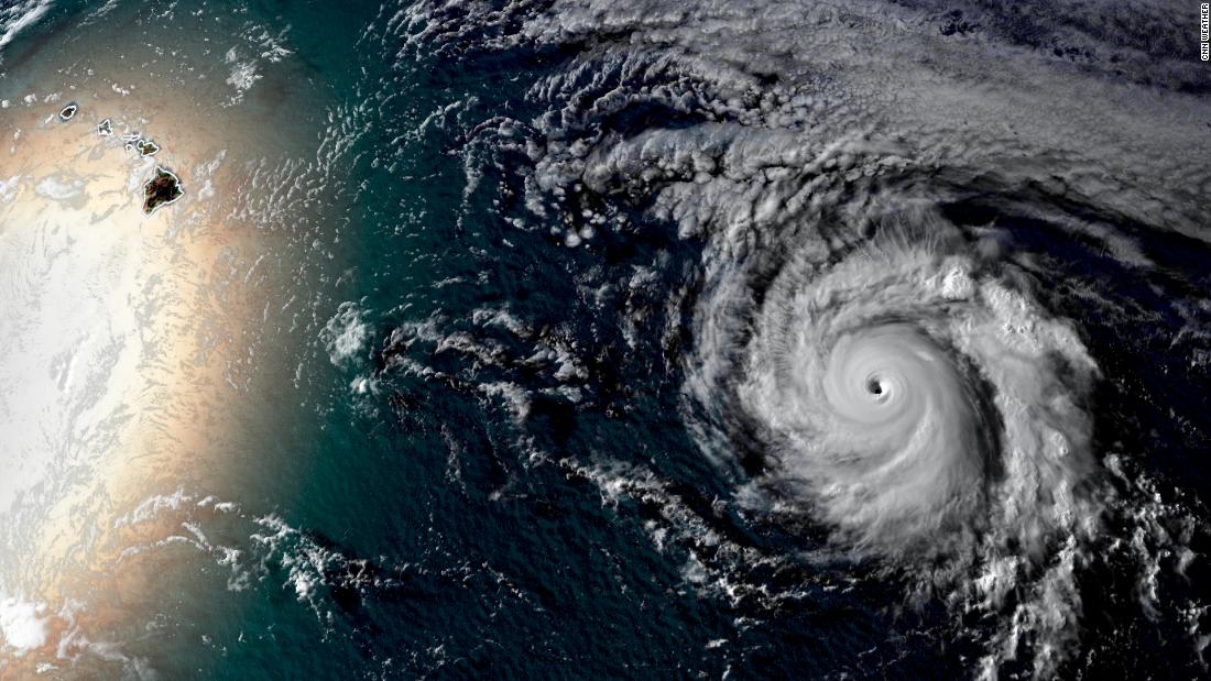
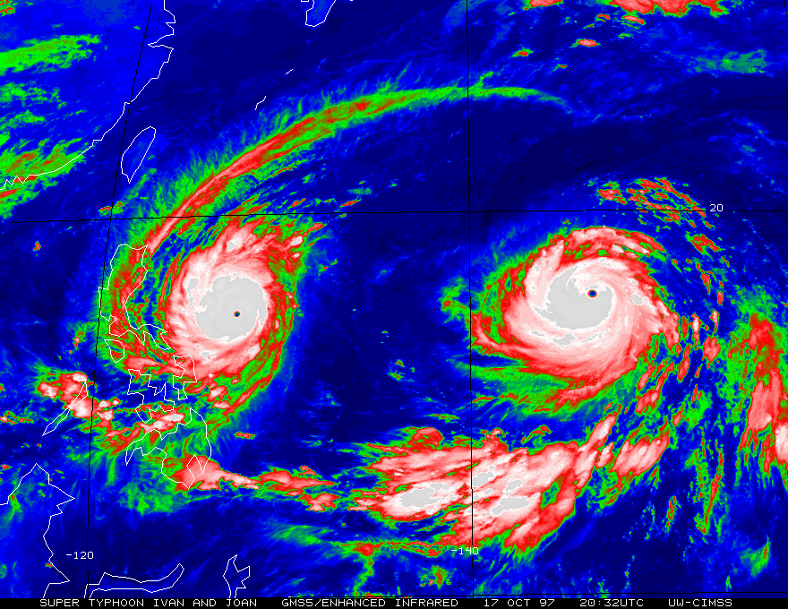
To start, here's a rare example of
simultaneous look-alikes, the 2019 iterations of Lekima and Krosa:
![Image](https://upload.wikimedia.org/wikipedia/commons/thumb/7/73/Lekima_and_Krosa_2019-08-08_0505Z.jpg/780px-Lekima_and_Krosa_2019-08-08_0505Z.jpg)
Please note: Never take any statements I make about forecasts at face value, as I am nowhere near professional at that.