The ATL is beginning to BOIL ...

This is the general tropical discussion area. Anyone can take their shot at predicting a storms path.

Moderator: S2k Moderators

Forum rules

The posts in this forum are NOT official forecasts and should not be used as such. They are just the opinion of the poster and may or may not be backed by sound meteorological data. They are NOT endorsed by any professional institution or STORM2K. For official information, please refer to products from the National Hurricane Center and National Weather Service.

Help Support Storm2K
Message
Author
User avatar
Stormsfury
Category 5
Category 5
Posts: 10549
Age: 53
Joined: Wed Feb 05, 2003 6:27 pm
Location: Summerville, SC

The ATL is beginning to BOIL ...

#1 Postby Stormsfury » Mon Jul 26, 2004 9:18 pm

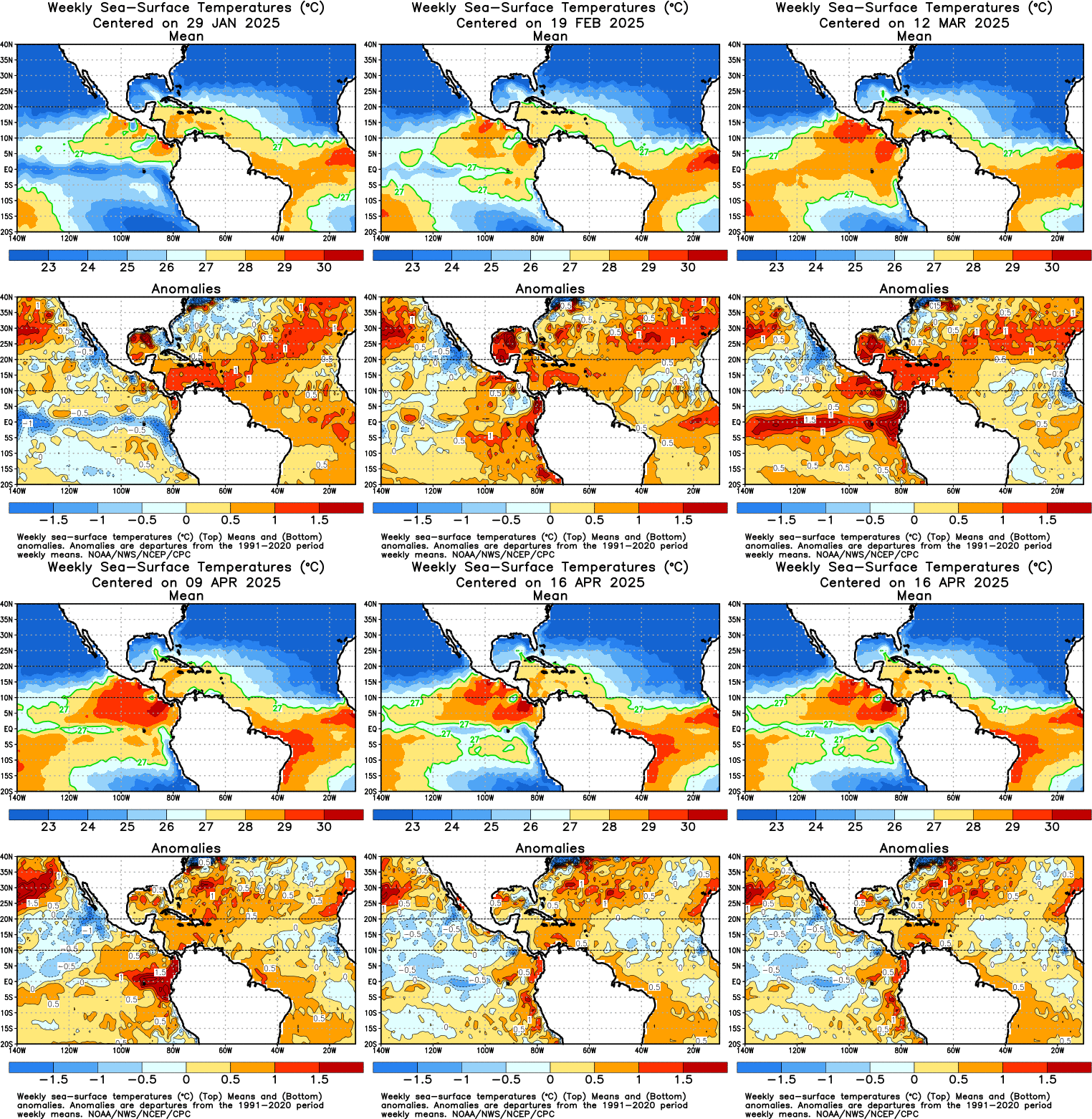
The NORTH Atlantic is boiling across MOST of the basin ...
Image

One BAD thing is ... but due to lag time, shouldn't have a bearing on the heart of the season is that the EQ PAC depths anomalies are increasing ... and a large slightly above EQ warming has shown up in the last couple of weeks ... but very cyclic .. it did the same thing a few months ago, only to see a large cool pool develop and tranverse eastward towards the South American Coast.

Image

The ENS are calling for a shift to the ridging in a retrograding fashion ... but probably more transient than anything else ... however, two noticable things I saw yesterday ...

1) The retrograding of one 500mb ridge and a new center developing over TX/OK ... shifting into the Four Corner States in the next 10 days or so ...
2) The Bermuda High looks to make a return to a more climatologically favored position, with troughiness in between ...
0 likes   

Return to “Talkin' Tropics”

Who is online

Users browsing this forum: HurricaneBelle, Iceresistance, wwizard and 36 guests