95E Invest at EPAC

This is the general tropical discussion area. Anyone can take their shot at predicting a storms path.

Moderator: S2k Moderators

Forum rules

The posts in this forum are NOT official forecasts and should not be used as such. They are just the opinion of the poster and may or may not be backed by sound meteorological data. They are NOT endorsed by any professional institution or STORM2K. For official information, please refer to products from the National Hurricane Center and National Weather Service.

Help Support Storm2K
Message
Author
User avatar
cycloneye
Admin
Admin
Posts: 148497
Age: 69
Joined: Thu Oct 10, 2002 10:54 am
Location: San Juan, Puerto Rico

95E Invest at EPAC

#1 Postby cycloneye » Thu Sep 15, 2005 10:50 am

http://www.nrlmry.navy.mil/tc_pages/tc_home.html

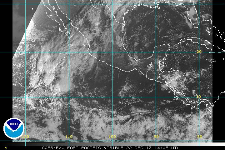
The EPAC is very busy now as the wet phase of the MJO is at that basin.

Image
0 likes   
Visit the Caribbean-Central America Weather Thread where you can find at first post web cams,radars
and observations from Caribbean basin members Click Here

User avatar
cycloneye
Admin
Admin
Posts: 148497
Age: 69
Joined: Thu Oct 10, 2002 10:54 am
Location: San Juan, Puerto Rico

#2 Postby cycloneye » Thu Sep 15, 2005 11:10 am

Image

Here is why the EPAC is very active now.
0 likes   
Visit the Caribbean-Central America Weather Thread where you can find at first post web cams,radars
and observations from Caribbean basin members Click Here

MiamiensisWx

#3 Postby MiamiensisWx » Fri Sep 16, 2005 10:15 am

Here is the latest visible imagery. The wave (INVEST.95E) appears to be getting more organized.
http://www.ssd.noaa.gov/PS/TROP/DATA/RT/EPAC/VIS/20.jpg

If this becomes a named system, the eastern Pacific will be only three names behind the Atlantic.
0 likes   


Return to “Talkin' Tropics”

Who is online

Users browsing this forum: kenayers and 304 guests