Central Atlantic Tropical Wave

This is the general tropical discussion area. Anyone can take their shot at predicting a storms path.

Moderator: S2k Moderators

Forum rules

The posts in this forum are NOT official forecasts and should not be used as such. They are just the opinion of the poster and may or may not be backed by sound meteorological data. They are NOT endorsed by any professional institution or STORM2K. For official information, please refer to products from the National Hurricane Center and National Weather Service.

Help Support Storm2K
Message
Author
User avatar
SouthFloridawx
S2K Supporter
S2K Supporter
Posts: 8346
Age: 46
Joined: Tue Jul 26, 2005 1:16 am
Location: Sarasota, FL
Contact:

Central Atlantic Tropical Wave

#1 Postby SouthFloridawx » Thu Sep 28, 2006 12:36 pm

Here is another blob that we could be talking about. It looks a little more healthy than 97L. There is a wave trailing right behind it, if not already very close to the convection. We'll find out what the 205 Says.

There is good upper Level Divergence
http://cimss.ssec.wisc.edu/tropic/real- ... g8dvg.html

LL Convergence
http://cimss.ssec.wisc.edu/tropic/real- ... 8conv.html

Windshear remains light in front of this area.
http://cimss.ssec.wisc.edu/tropic/real- ... g8sht.html

Image
0 likes   

User avatar
DESTRUCTION5
Category 5
Category 5
Posts: 4423
Age: 43
Joined: Wed Sep 03, 2003 11:25 am
Location: Stuart, FL

#2 Postby DESTRUCTION5 » Thu Sep 28, 2006 12:48 pm

I agree if we can get a little lattitude here...this may go..had the Signature of a nice wave..
0 likes   
GATOR NATION IS E V E R Y W H E R E !

User avatar
boca
Category 5
Category 5
Posts: 6370
Age: 60
Joined: Mon Dec 15, 2003 8:49 am
Location: Boca Raton,FL

#3 Postby boca » Thu Sep 28, 2006 12:51 pm

Its heading right into S America or drifting that way.
0 likes   

User avatar
gatorcane
S2K Supporter
S2K Supporter
Posts: 23693
Age: 47
Joined: Sun Mar 13, 2005 3:54 pm
Location: Boca Raton, FL

#4 Postby gatorcane » Thu Sep 28, 2006 1:00 pm

I knew somebody would mention this. Way too far south.
0 likes   

Anthonyl
Tropical Depression
Tropical Depression
Posts: 97
Joined: Wed Apr 20, 2005 4:20 pm

#5 Postby Anthonyl » Thu Sep 28, 2006 1:08 pm

AN ATLANTIC OCEAN TROPICAL WAVE IS ALONG 46W/47W SOUTH OF 14N
MOVING WEST 10-15 KT. THIS IS A LOW AMPLITUDE WAVE WITH
CONVECTION W OF THE AXIS. SCATTERED MODERATE CONVECTION IS FROM
9N-12N BETWEEN 47W-51W.

Given the recent trends this would not be difficult to gian lattitude.
0 likes   

User avatar
wxman57
Moderator-Pro Met
Moderator-Pro Met
Posts: 23010
Age: 67
Joined: Sat Jun 21, 2003 8:06 pm
Location: Houston, TX (southwest)

#6 Postby wxman57 » Thu Sep 28, 2006 2:18 pm

This is a wave that I'd pay attention to. It's far enough south to not get steered north into the open Atlantic. Such a wave moving across the southern Caribbean to the area north of Panama and east of Nicaragua could develop south of the ridge in 5-7 days. Prime spot for late season development.
0 likes   

User avatar
gatorcane
S2K Supporter
S2K Supporter
Posts: 23693
Age: 47
Joined: Sun Mar 13, 2005 3:54 pm
Location: Boca Raton, FL

#7 Postby gatorcane » Thu Sep 28, 2006 2:20 pm

wxman57 wrote:This is a wave that I'd pay attention to. It's far enough south to not get steered north into the open Atlantic. Such a wave moving across the southern Caribbean to the area north of Panama and east of Nicaragua could develop south of the ridge in 5-7 days. Prime spot for late season development.


I stand corrected! It's amazing how far south these waves have to be this year to avoid all of the weakness that dominates the northern atlantic.
0 likes   

User avatar
SWFLA_CANE
Tropical Storm
Tropical Storm
Posts: 196
Joined: Tue Jun 06, 2006 6:41 pm
Location: Naples, Florida

#8 Postby SWFLA_CANE » Thu Sep 28, 2006 2:48 pm

Looks more impressive then 97L.
0 likes   

User avatar
GeneratorPower
S2K Supporter
S2K Supporter
Posts: 1648
Age: 45
Joined: Sun Dec 18, 2005 11:48 pm
Location: Huntsville, AL

#9 Postby GeneratorPower » Thu Sep 28, 2006 2:57 pm

boca wrote:Its heading right into S America or drifting that way.


Mike Watkins covered this on a recent show, or perhaps a post here. It's not going to whack into South America. It looks that way, but these end up gaining latitude just fine.
0 likes   

User avatar
gatorcane
S2K Supporter
S2K Supporter
Posts: 23693
Age: 47
Joined: Sun Mar 13, 2005 3:54 pm
Location: Boca Raton, FL

#10 Postby gatorcane » Fri Sep 29, 2006 1:08 pm

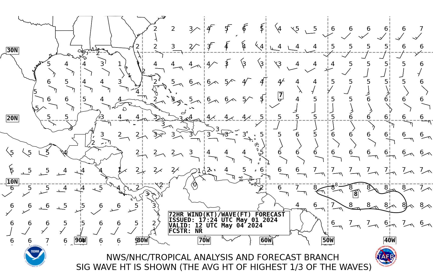
its firing up gain and has indeed gained some lattitude and is forecasted to traverse the Caribbean:

Note its position between Puerto Rico and SA in 72 hours:
Image
0 likes   

User avatar
gatorcane
S2K Supporter
S2K Supporter
Posts: 23693
Age: 47
Joined: Sun Mar 13, 2005 3:54 pm
Location: Boca Raton, FL

#11 Postby gatorcane » Fri Sep 29, 2006 2:53 pm

bump, should we not change the title?
0 likes   

TheRingo
Tropical Storm
Tropical Storm
Posts: 170
Joined: Sat Aug 26, 2006 4:46 pm

#12 Postby TheRingo » Sat Sep 30, 2006 12:03 pm

some convection increase now.

12:15pm
Image

2:15pm
Image
0 likes   

User avatar
hial2
S2K Supporter
S2K Supporter
Posts: 809
Joined: Fri Oct 10, 2003 9:20 pm
Location: Indian trail N.C.

#13 Postby hial2 » Sat Sep 30, 2006 3:03 pm

Way too much shear for it to develop at this time, IMO
0 likes   


Return to “Talkin' Tropics”

Who is online

Users browsing this forum: 869MB, Cpv17, Hurricaneman, hurricanes1234, Ian2401, Keldeo1997, LAF92, MetroMike, Pelicane, SFLcane, skillz305, Stormi, Stratton23 and 66 guests