Summary: El Niño showing signs of weakening
All the main ENSO indicators show that the El Niño event has begun to weaken. This bodes well for a switch towards wetter conditions across Australia sometime in the late summer or autumn. The timing of the weakening also fits in well with that observed during previous events, although it is still possible for there to be renewed strengthening of the El Niño event for a month or two before it finally dissipates.
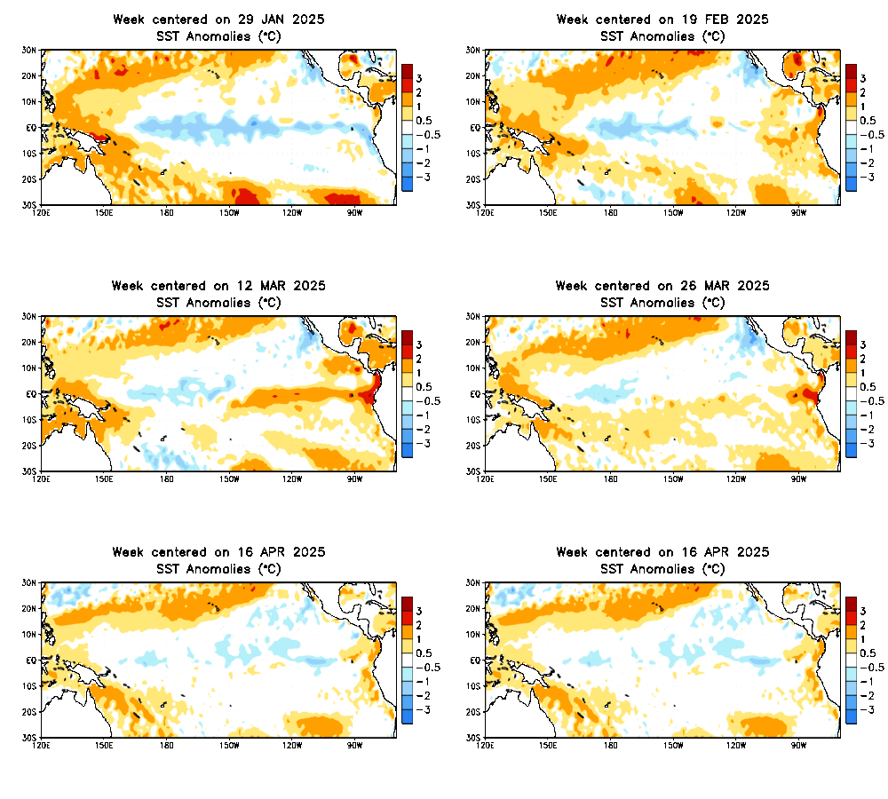
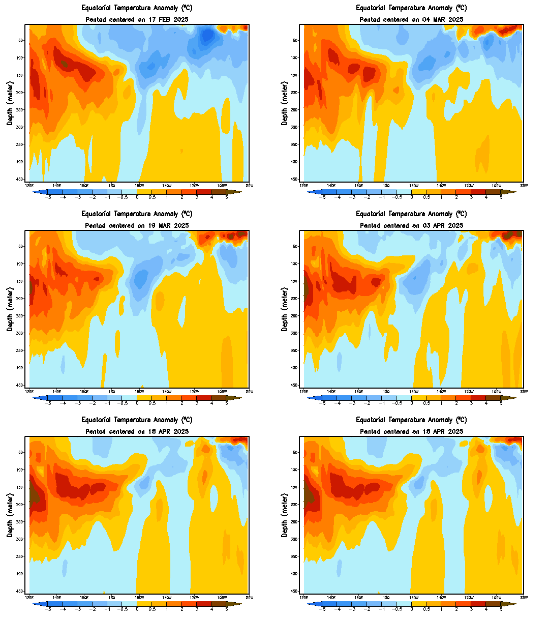
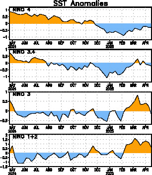
Since late November, near equatorial sea-surface temperatures have cooled by about 0.1 to 0.4°C, cooler-than-normal sub-surface water has extended well into the eastern equatorial Pacific Ocean, with significant weakening of warm anomalies occurring as a result, and the Trade Winds have been stronger than normal across the western and central Pacific. Furthermore, monthly SOI values were neutral for both November and December and central Pacific cloudiness has been near to or slightly below average for almost a month.
However, a moderate to strong Madden-Julian Oscillation (MJO), with an associated westerly wind burst, is currently affecting the area between northern Australia and Indonesia. If the MJO maintains its intensity as it propagates into the western Pacific, a fall in the SOI, a decrease in the Trade Wind strength and an increase in cloudiness may occur as a result. This may cause temporary strengthening of the El Niño event, but given the recent trends and the predictions from computer models, neutral ENSO conditions are expected to return during the southern autumn.
http://www.bom.gov.au/climate/enso/index.shtml
Interesting what the Australians are saying in this latest update at 1/10/07.Let's see in the comming weeks and months how it all evolves in terms of the ENSO conditions as the 2007 Hurricane Season gets closer.As they say at the update Neutral ENSO will arrive by spring in the Northern Hemisphere and by Autumm in the Southern Hemisphere.
BoM (1/10/07) ENSO update= El Nino Weakening
Moderator: S2k Moderators
Forum rules
The posts in this forum are NOT official forecasts and should not be used as such. They are just the opinion of the poster and may or may not be backed by sound meteorological data. They are NOT endorsed by any professional institution or STORM2K. For official information, please refer to products from the National Hurricane Center and National Weather Service.
- cycloneye
- Admin

- Posts: 148755
- Age: 69
- Joined: Thu Oct 10, 2002 10:54 am
- Location: San Juan, Puerto Rico
BoM (1/10/07) ENSO update= El Nino Weakening
0 likes
Visit the Caribbean-Central America Weather Thread where you can find at first post web cams,radars
and observations from Caribbean basin members Click Here
and observations from Caribbean basin members Click Here
- SouthFloridawx
- S2K Supporter

- Posts: 8346
- Age: 47
- Joined: Tue Jul 26, 2005 1:16 am
- Location: Sarasota, FL
- Contact:
-
Coredesat
Who is online
Users browsing this forum: bird, Category5Kaiju, Iune, wwizard and 57 guests


