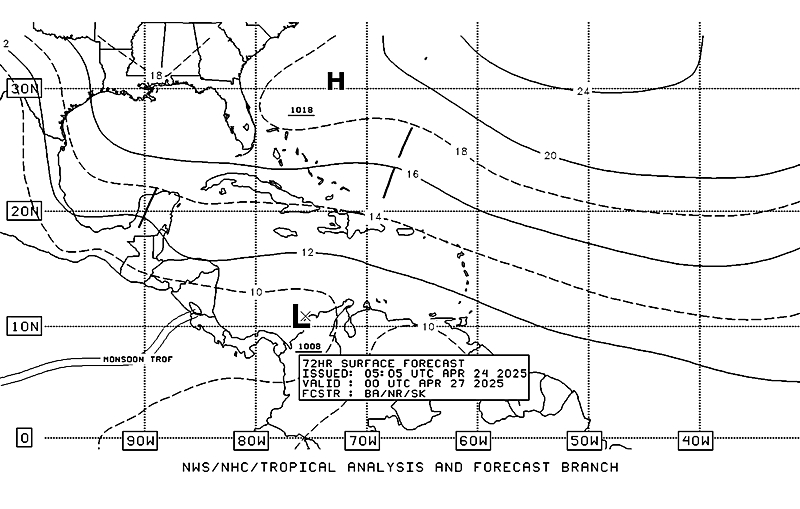
GFS starting to lean on some development in the EPAC and to move into the NW Caribbean/S. GOM. I can remember a few times when we have seen development in the Eastern Pacific, move into the Atlantic. According the the GFS model, and I have been watching it for a couple of days on this, we may see something cross over. I'm not saying it will cross over and be something overly organized in our area, but I think it bears watching. With the Subtropical Jet slacking around that time in the epac and of course, moving our way, we'll need to watch it. Here is what I'm talking about:
[web]http://www.nco.ncep.noaa.gov/pmb/nwprod/analysis/carib/gfs/00/images/gfs_slp_180m.gif[/web]
[web]http://www.nco.ncep.noaa.gov/pmb/nwprod/analysis/carib/gfs/00/images/gfs_slp_204m.gif[/web]
[web]http://www.nco.ncep.noaa.gov/pmb/nwprod/analysis/carib/gfs/00/images/gfs_slp_228m.gif[/web]
[web]http://www.nco.ncep.noaa.gov/pmb/nwprod/analysis/carib/gfs/00/images/gfs_slp_264m.gif[/web]
[web]http://www.nco.ncep.noaa.gov/pmb/nwprod/analysis/carib/gfs/00/images/gfs_slp_276m.gif[/web]
Yes I realize this is long range, but when you see a pattern, you see a pattern. Let's see what happens....
Development in the Epac?
Moderator: S2k Moderators
Forum rules
The posts in this forum are NOT official forecasts and should not be used as such. They are just the opinion of the poster and may or may not be backed by sound meteorological data. They are NOT endorsed by any professional institution or STORM2K. For official information, please refer to products from the National Hurricane Center and National Weather Service.
- SouthFloridawx
- S2K Supporter

- Posts: 8346
- Age: 47
- Joined: Tue Jul 26, 2005 1:16 am
- Location: Sarasota, FL
- Contact:
Development in the Epac?
0 likes
- SouthFloridawx
- S2K Supporter

- Posts: 8346
- Age: 47
- Joined: Tue Jul 26, 2005 1:16 am
- Location: Sarasota, FL
- Contact:
- Meso
- Category 5

- Posts: 1609
- Age: 39
- Joined: Mon Aug 09, 2004 12:14 pm
- Location: South Africa
- Contact:
http://moe.met.fsu.edu/tcgengifs/cmc/2007052000/slp24.png Canadian 144 Hours
http://moe.met.fsu.edu/tcgengifs/nogaps/2007052000/slp24.png Nogaps 144 Hours
http://moe.met.fsu.edu/tcgengifs/ukm/2007052000/slp24.png UKmet 144 Hours
Lot's of the models are hinting at something possible down there in 144 hours
http://moe.met.fsu.edu/tcgengifs/nogaps/2007052000/slp24.png Nogaps 144 Hours
http://moe.met.fsu.edu/tcgengifs/ukm/2007052000/slp24.png UKmet 144 Hours
Lot's of the models are hinting at something possible down there in 144 hours
0 likes
- Aquawind
- Category 5

- Posts: 6714
- Age: 62
- Joined: Mon Jun 16, 2003 10:41 pm
- Location: Salisbury, NC
- Contact:
Well this is last nights forecast and it is moving the low towards the EPAC where the season has officialy started. I imagine this mornings forecast will do the same. I am going with EPAC development first but hope the GFS actually is reality and will bring a beautiful soakage for the state if that were to verify. Could be the trough hangs around and eventually does bring some juice to Florida at least. The local forecasters down here are flip floping moisture next week from below to above climo with high pressure and ridging in place. That GFS looks like a tall glass of ice water on a hot summer day. 


0 likes
-
Berwick Bay
Like I said in an earlier post, I'm not much on models. However, here is what I see. The trough which has been dangling down from the Bahamas across Cuba and toward Nicaragua now appear to extend into the EPAC. This morning's sat pic shows heavy thunderstorms in the EPAC off Nicaragua. So I'm going to say that development in the EPAC could be on the way with the first named storm over there.
0 likes
- SouthFloridawx
- S2K Supporter

- Posts: 8346
- Age: 47
- Joined: Tue Jul 26, 2005 1:16 am
- Location: Sarasota, FL
- Contact:
Most of the models showing a little something going on out in the Epac now... They very in intensity and location, but it seems they agree there may be something going on in about 4-6 days...
CMC
http://moe.met.fsu.edu/cgi-bin/cmctc2.c ... hour=144hr
http://moe.met.fsu.edu/cgi-bin/cmctc2.c ... hour=144hr
GFS- The only slacker out of the group...
http://moe.met.fsu.edu/cgi-bin/gfstc2.c ... hour=144hr
http://moe.met.fsu.edu/cgi-bin/gfstc2.c ... hour=144hr
Nogaps
http://moe.met.fsu.edu/cgi-bin/nogapstc ... hour=144hr
http://moe.met.fsu.edu/cgi-bin/nogapstc ... hour=144hr
Ukmet
http://moe.met.fsu.edu/cgi-bin/ukmtc2.c ... hour=144hr
http://moe.met.fsu.edu/cgi-bin/ukmtc2.c ... hour=138hr
0 likes
I am going with EPAC development first but hope the GFS actually is reality and will bring a beautiful soakage for the state if that were to verify.
The energy focus appears to be just shy of 80 degrees longitude this morning in the EPAC.
Yesterday it looked as though there were some surface winds out of the west on the southern side of a cloud curl (in the Caribbean).
If this area develops in the EPAC it will cause subsidence in the Caribbean portion of the trough hindering development there for a few days.
Some of the models showed development in the EPAC followed by a crossover back into the Atlantic basin, but with all the forecast shear in the western carib, I'm not ready to gas up the FEMA helicopters for FL yet.
0 likes
Who is online
Users browsing this forum: Google [Bot], Team Ghost and 40 guests

