#194 Postby LarryWx » Thu Jul 17, 2025 1:22 am
Tropical Weather Outlook
NWS National Hurricane Center Miami FL
200 AM EDT Thu Jul 17 2025
For the North Atlantic...Caribbean Sea and the Gulf of America:
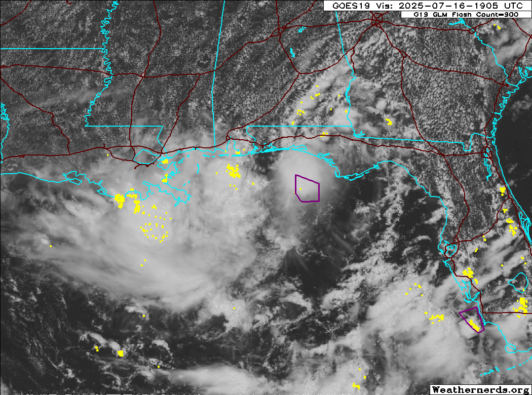
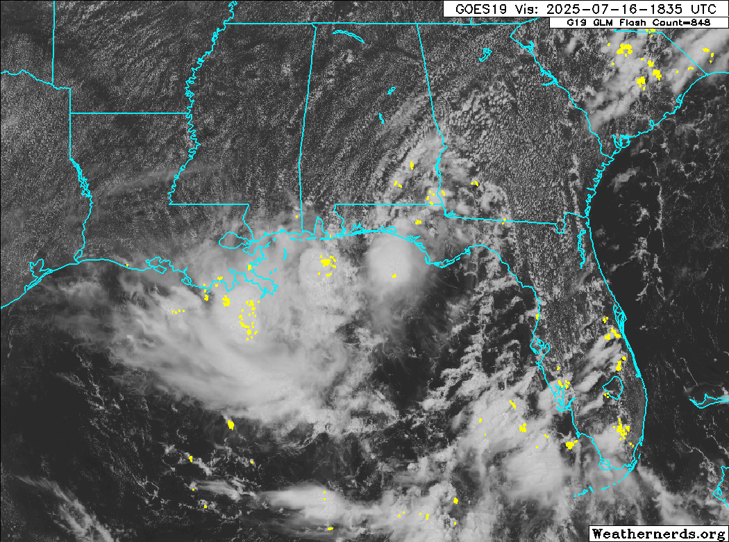
1. Northeastern and north-central Gulf (AL93):
Recent satellite wind data, in combination with surface and radar
observations, indicate the broad area of low pressure located over
the far northern portion of the Gulf remains quite disorganized. In
addition, the associated shower and thunderstorm activity remains
displaced well west of the broad center. While some additional
development of this system remains possible over the next 12-24
hours, its current structure suggests its chances of developing into
a tropical depression before it reaches the Louisiana coast later
today are decreasing.
Regardless of development, heavy rainfall could produce localized
flash flooding over portions of the north-central Gulf Coast through
Friday. For additional information, please refer to products issued
by the Weather Prediction Center and your local National Weather
Service office.
* Formation chance through 48 hours...low...30 percent.
* Formation chance through 7 days...low...30 percent.
0 likes
Personal Forecast Disclaimer:
The posts in this forum are NOT official forecasts and should not be used as such. They are just the opinion of the poster and may or may not be backed by sound meteorological data. They are NOT endorsed by any professional institution or storm2k.org. For official information, please refer to the NHC and NWS products.