Getting close... Bluefields/Belmont is my landfall call... Melissa consistently has tracked W of each NHC advisory track for days...
Moderators: hurricanetrack, S2k Moderators


Will be interesting to see what the 12Z hurricane models say. The 06zs all had this as a low cat 4 or even cat 3, with no restrengtheing between Jamaica and Cuba - but they are all also east of the actal path (through more mountainous terrain and over land longer).NotAHurricane wrote:Exalt wrote:Anyone else think this thing could landfall in Cuba as a strong cat 5?
Mid-range cat 4 at minimum, but at 185mph, I think hitting Cuba as a cat 5 is not out of the question anymore.
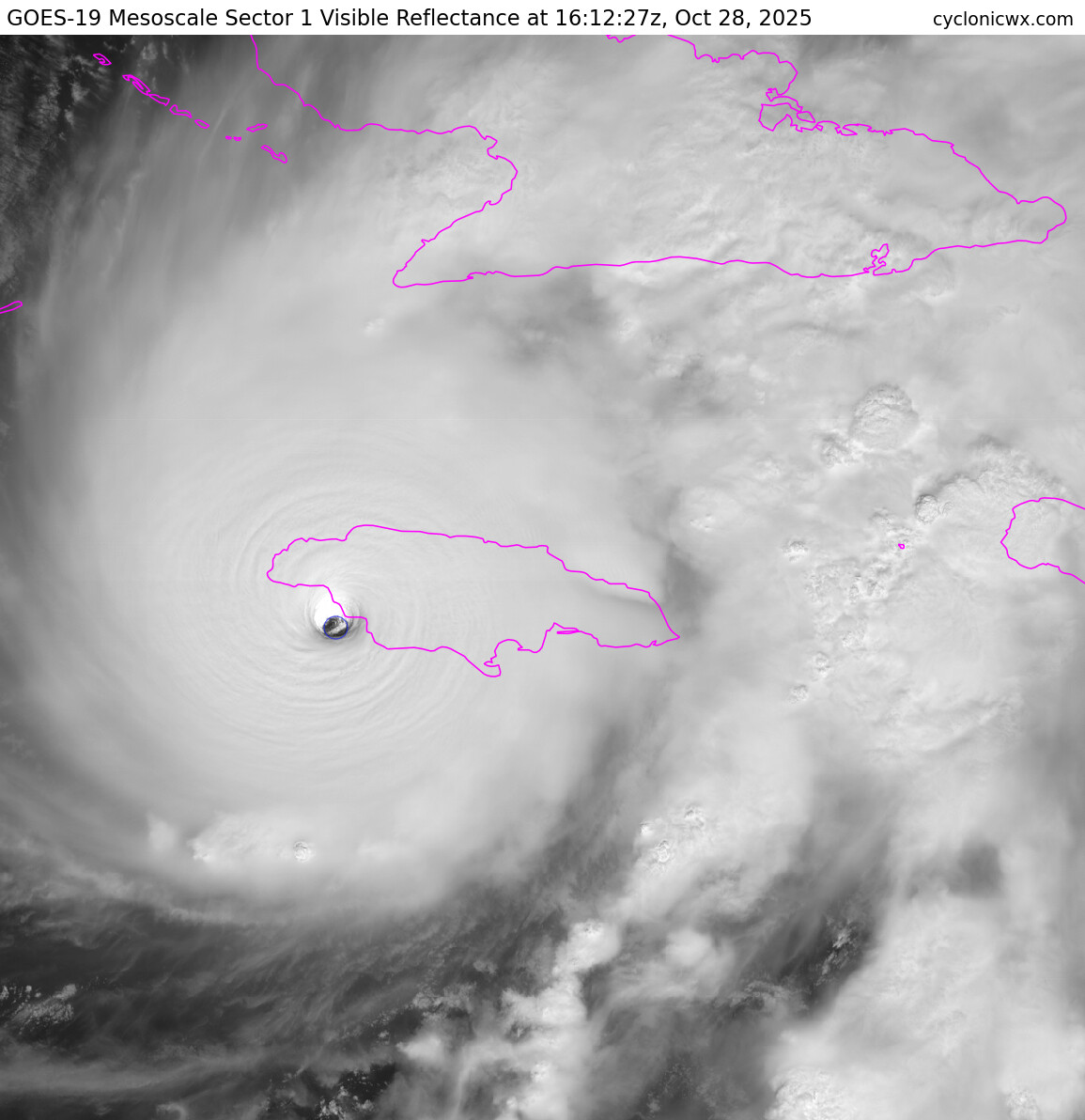
tallywx wrote:Josh seems to be in the “Mexico Beach” spot. Places like New Hope would be the “Tyndall AFB” spot for looking straight up into the stadium eye.


tallywx wrote:Josh seems to be in the “Mexico Beach” spot. Places like New Hope would be the “Tyndall AFB” spot for looking straight up into the stadium eye.

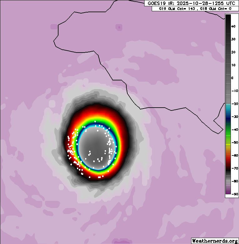
GCANE wrote:Cloud tops warming now on the eastern portion of Melissa.
Return to “Active Storms/Invests - Atlantic/EastPAC/CentralPAC/MED”
Users browsing this forum: No registered users and 103 guests


