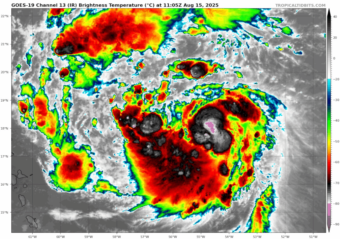
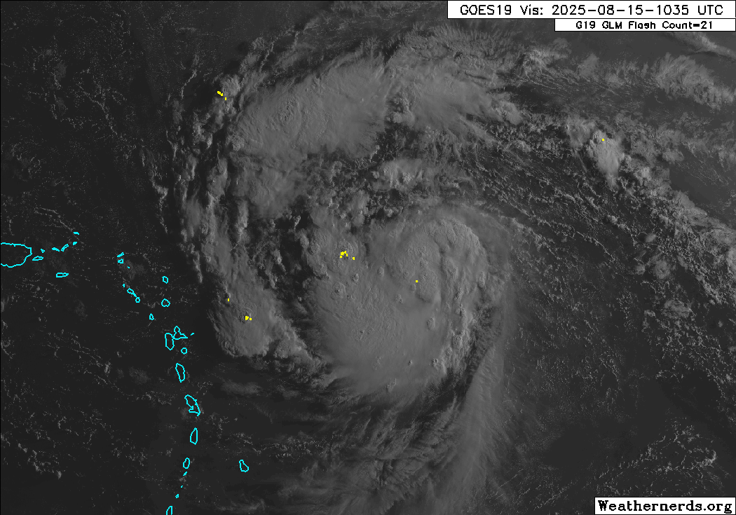
#387 Postby aspen » Fri Aug 15, 2025 8:43 am
There still seems to be some dry air or maybe a tiny bit of shear near the NW section of Erin’s CDO. The latest recon fix shows the LLC is on the western side of the CDO and not nicely tucked in underneath, and the wind/pressure curves on the recon plots still aren’t perfectly lined up. So it’s still probably got a bit to go before it’s ready for RI. Maybe by tonight if it can mix out the last of the dry air and SAL.
0 likes
Irene '11 Sandy '12 Hermine '16 5/15/2018 Derecho Fay '20 Isaias '20 Elsa '21 Henri '21 Ida '21
I am only a meteorology enthusiast who knows a decent amount about tropical cyclones. Look to the professional mets, the NHC, or your local weather office for the best information.


