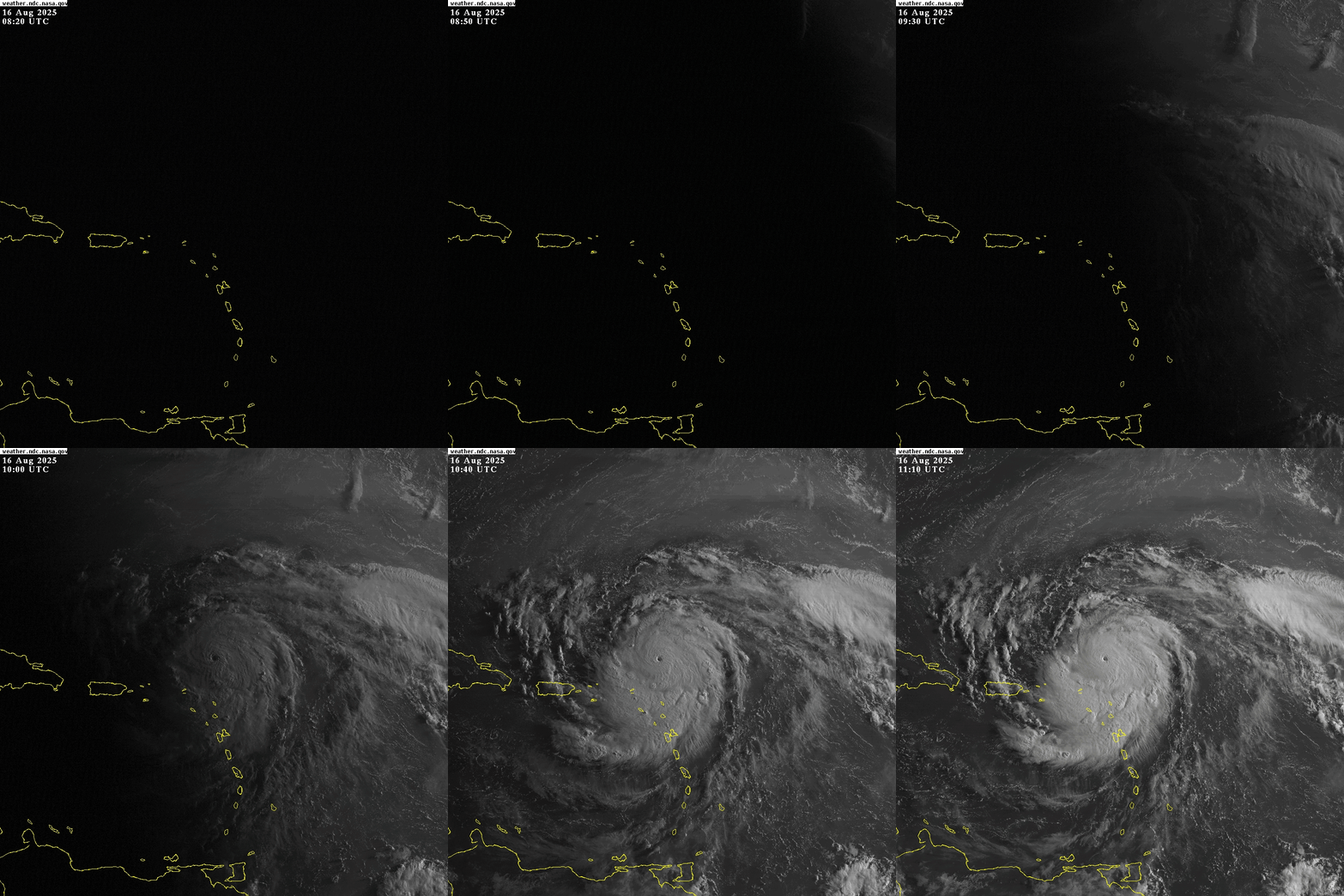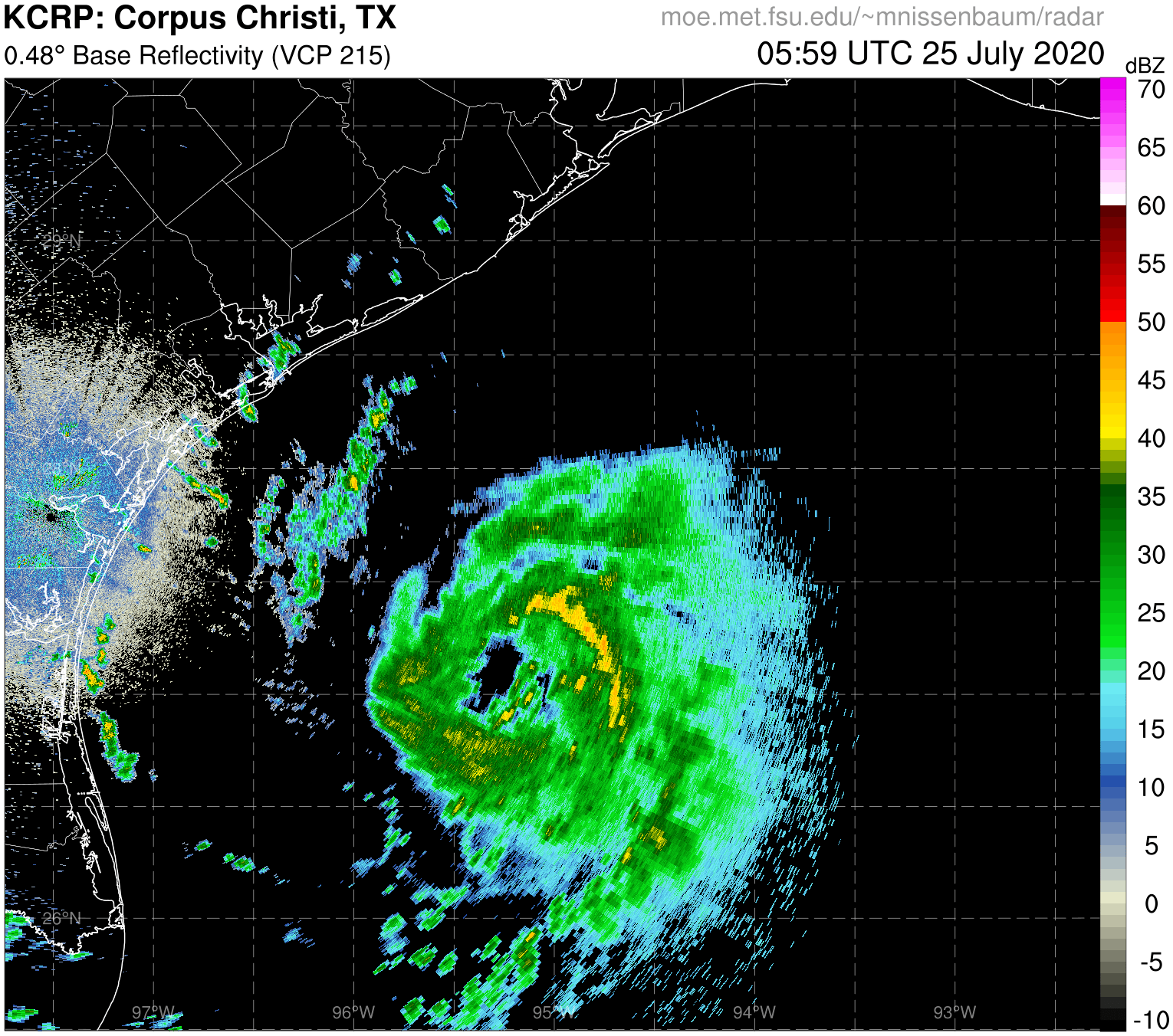
ATL: ERIN - Hurricane - Discussion
Moderators: hurricanetrack, S2k Moderators

The posts in this forum are NOT official forecasts and should not be used as such. They are just the opinion of the poster and may or may not be backed by sound meteorological data. They are NOT endorsed by any professional institution or STORM2K. For official information, please refer to products from the National Hurricane Center and National Weather Service.
- mrbagyo
- Category 5

- Posts: 3739
- Age: 33
- Joined: Thu Apr 12, 2012 9:18 am
- Location: 14.13N 120.98E
- Contact:
Re: ATL: ERIN - Hurricane - Discussion

4 likes
The posts in this forum are NOT official forecast and should not be used as such. They are just the opinion of the poster and may or may not be backed by sound meteorological data. They are NOT endorsed by any professional institution or storm2k.org. For official information, please refer to RSMC, NHC and NWS products.
Re: ATL: ERIN - Hurricane - Discussion
Holy moly, 934.8 mb found by AF308 and 156 kt SFMR 
(only 117 kt FL wind so far, AF308 is still at the center, I think we're going towards C5 territory)

(only 117 kt FL wind so far, AF308 is still at the center, I think we're going towards C5 territory)
2 likes
- HurricaneAndre2008
- Category 1

- Posts: 338
- Age: 27
- Joined: Wed Jul 31, 2019 9:51 pm
- Contact:
Re: ATL: ERIN - Hurricane - Discussion
934.8 mb
(~ 27.61 inHg)
(~ 27.61 inHg)
0 likes
Cindy(2005), Katrina(2005), Rita(2005), Erin(2007), Isaac(2012)
- weeniepatrol
- Category 5

- Posts: 1296
- Joined: Sat Aug 22, 2020 5:30 pm
- Location: WA State
- REDHurricane
- Category 1

- Posts: 406
- Age: 28
- Joined: Sun Jul 03, 2022 2:36 pm
- Location: Northeast Pacific Ocean
Re: ATL: ERIN - Hurricane - Discussion
Here's the WSW motion visualized with the NOAA2 center fixes.


2 likes
-
jlauderdal
- S2K Supporter

- Posts: 7200
- Joined: Wed May 19, 2004 5:46 am
- Location: NE Fort Lauderdale
- Contact:
Re: RE: Re: ATL: ERIN - Hurricane - Discussion
The intensity clearly affecting at least the short term motionGCANE wrote:Barely moving north now. Practically due west.
Sent from my Pixel 9 using Tapatalk
1 likes
- REDHurricane
- Category 1

- Posts: 406
- Age: 28
- Joined: Sun Jul 03, 2022 2:36 pm
- Location: Northeast Pacific Ocean
Re: ATL: ERIN - Hurricane - Discussion
By my count that's a 46mb drop in less than 12 hours (35mb drop in less than 6!!), and it'll be even more at the next recon pass too
Last edited by REDHurricane on Sat Aug 16, 2025 6:50 am, edited 1 time in total.
1 likes
Re: ATL: ERIN - Hurricane - Discussion
AF308 plane pass.
Minimum extrapolated pressure = 934.8 mb with 17 kt wind nearby -> 933 mb
Peak FL wind = 138 kt -> 124 kt estimate at the surface
Peak SFMR = 156 kt
The dropsonde measured 936 mb with 14 kt wind, which would result in 934/935 mb. I'd say a solid estimate for now is at least 935mb/125kt, but I'd personally put it at 130kt based on the SFMR and ERI behavior of the storm in general.
1 likes
Re: ATL: ERIN - Hurricane - Discussion
509
WTNT35 KNHC 161152
TCPAT5
BULLETIN
Hurricane Erin Intermediate Advisory Number 20A
NWS National Hurricane Center Miami FL AL052025
800 AM AST Sat Aug 16 2025
...CATEGORY 4 ERIN CONTINUES TO RAPIDLY INTENSIFY...
...OUTER RAINBANDS BEGINNING TO AFFECT THE NORTHERN LEEWARD
ISLANDS...
SUMMARY OF 800 AM AST...1200 UTC...INFORMATION
----------------------------------------------
LOCATION...19.6N 62.0W
ABOUT 120 MI...195 KM NE OF ANGUILLA
MAXIMUM SUSTAINED WINDS...145 MPH...230 KM/H
PRESENT MOVEMENT...WNW OR 285 DEGREES AT 20 MPH...31 KM/H
MINIMUM CENTRAL PRESSURE...935 MB...27.61 INCHES
1 likes
Re: ATL: ERIN - Hurricane - Discussion
A good 30nm south of forecast track now.
Model runs later today will be interesting.
Model runs later today will be interesting.
1 likes
Re: ATL: ERIN - Hurricane - Discussion
20 mb pressure drop and 20 kt wind increase in the last 3 hours 
2 likes
Re: ATL: ERIN - Hurricane - Discussion
Last drop showed eye definitely drying out with 14knt wind at surface.
Definite sign an EWRC is starting to develop.
Definite sign an EWRC is starting to develop.
0 likes
Re: ATL: ERIN - Hurricane - Discussion
I wonder if this will be some funky two wall system that maintains itself for a long period.
0 likes
-
TampaWxLurker
- Tropical Storm

- Posts: 141
- Joined: Thu Aug 01, 2024 8:20 am
-
Cachondo23
- Tropical Depression

- Posts: 96
- Joined: Wed May 25, 2022 5:56 am
Re: ATL: ERIN - Hurricane - Discussion
NE Caribbean Islands got lucky with the worst part of Monster Erin. Locally heavy rain, gusty winds, and big waves can still be an impact in that area though.
0 likes
Return to “Active Storms/Invests - Atlantic/EastPAC/CentralPAC/MED”
Who is online
Users browsing this forum: No registered users and 124 guests


