https://ftp.nhc.noaa.gov/atcf/btk/
EPAC: INVEST 90E
Moderator: S2k Moderators
EPAC: INVEST 90E
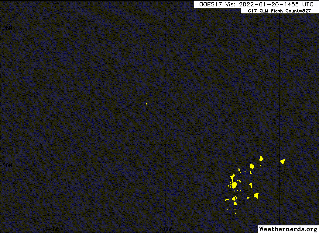
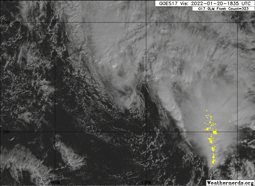
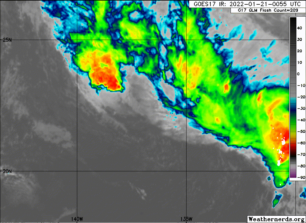
EP, 90, 2022012012, , BEST, 0, 217N, 1353W, 40, 1006, LO, 34, NEQ, 140, 0, 0, 0, 1012, 130, 40, 0, 0, E, 0, , 0, 0, INVEST, M, 0, , 0, 0, 0, 0, genesis-num, 001, SPAWNINVEST, ep712022 to ep902022,
https://ftp.nhc.noaa.gov/atcf/btk/
0 likes
- cycloneye
- Admin
- Posts: 139192
- Age: 67
- Joined: Thu Oct 10, 2002 10:54 am
- Location: San Juan, Puerto Rico
Re: EPAC: INVEST 90E
Special Tropical Weather Outlook
NWS National Hurricane Center Miami FL
920 AM PST Thu Jan 20 2022
For the eastern North Pacific...east of 140 degrees west longitude:
Special Tropical Weather Outlook issued for an area of low pressure
located well to the east-northeast of Hawaii.
1. A well-defined area of low pressure producing gale-force winds is
located more than 1000 miles east-northeast of Hilo, Hawaii. Shower
and thunderstorm activity has recently increased in coverage and
organization near the center. While environmental conditions appear
only marginally favorable for additional development, if this
activity persists, it could result in the formation of a short-lived
subtropical or tropical cyclone over the next day or so. By Friday,
environmental conditions are expected to become unfavorable for
additional development. For more information on this system,
including gale warnings, see High Seas Forecasts issued by the
National Weather Service.
* Formation chance through 48 hours...medium...40 percent.
* Formation change through 5 days...medium...40 percent.
The next Special Tropical Weather Outlook on this system will be
issued by 7 PM PST this evening, or earlier if conditions warrant.
Forecaster Papin/Cangialosi
0 likes
Visit the Caribbean-Central America Weather Thread where you can find at first post web cams,radars
and observations from Caribbean basin members Click Here
-
- Category 5
- Posts: 1448
- Joined: Sat Jun 26, 2021 10:51 am
- Location: Somewhere in Massachusetts
Re: EPAC: INVEST 90E
The last time the East/Central Pacific has a storm in January was 2016; this is definitely evidence this year has behaved more like an El Niño than a La Niña.
0 likes
- Iceresistance
- Category 5
- Posts: 8919
- Age: 20
- Joined: Sat Oct 10, 2020 9:45 am
- Location: Tecumseh, OK/Norman, OK
Re: EPAC: INVEST 90E
This is wild! I don't recall seeing this in the EPAC, there was one in the CPAC in 2016, but EPAC? This is something else!
0 likes
Bill 2015 & Beta 2020
Winter 2020-2021
All observations are in Tecumseh, OK unless otherwise noted.
Winter posts are focused mainly for Oklahoma & Texas.
Take any of my forecasts with a grain of salt, refer to the NWS, SPC, and NHC for official information
Never say Never with weather! Because ANYTHING is possible!
Winter 2020-2021
All observations are in Tecumseh, OK unless otherwise noted.
Winter posts are focused mainly for Oklahoma & Texas.
Take any of my forecasts with a grain of salt, refer to the NWS, SPC, and NHC for official information
Never say Never with weather! Because ANYTHING is possible!
- Meow
- Tropical Depression
- Posts: 66
- Age: 34
- Joined: Mon Aug 03, 2020 9:03 am
- Location: New Taipei, Taiwan
- Contact:
Re: EPAC: INVEST 90E
The earliest formation of the Northeast Pacific Ocean: One-E in 2020
The earliest named storm of the Northeast Pacific Ocean: Andres in 2021
Let’s see if it will set new records.
The earliest named storm of the Northeast Pacific Ocean: Andres in 2021
Let’s see if it will set new records.
0 likes
Wikimedia User:Meow
- Yellow Evan
- Professional-Met
- Posts: 15955
- Age: 25
- Joined: Fri Jul 15, 2011 12:48 pm
- Location: Henderson, Nevada/Honolulu, HI
- Contact:
Re: EPAC: INVEST 90E
Convection waning in coverage a little but struggling to find reasons why I wouldn’t classify this.
0 likes
- wxman57
- Moderator-Pro Met
- Posts: 22482
- Age: 66
- Joined: Sat Jun 21, 2003 8:06 pm
- Location: Houston, TX (southwest)
Re: EPAC: INVEST 90E
GFS says it's already peaked and will weaken by tomorrow. No big deal. Non-tropical.
1 likes
- InfernoFlameCat
- Category 5
- Posts: 1966
- Age: 21
- Joined: Mon Dec 14, 2020 10:52 am
- Location: Buford, GA
Re: EPAC: INVEST 90E
Yellow Evan wrote:https://cdn.discordapp.com/attachments/733552978572869632/933776035756007494/IMG_7933.jpg
Convection waning in coverage a little but struggling to find reasons why I wouldn’t classify this.
It needs to maintain its presentation. I think that’s why it hasn’t been classified. It’s clearly nonfrontal.
0 likes
I am by no means a professional. DO NOT look at my forecasts for official information or make decisions based on what I post.
Goal: to become a registered expert over tropical and subtropical cyclones.
- Yellow Evan
- Professional-Met
- Posts: 15955
- Age: 25
- Joined: Fri Jul 15, 2011 12:48 pm
- Location: Henderson, Nevada/Honolulu, HI
- Contact:
- ElectricStorm
- Category 5
- Posts: 4593
- Age: 23
- Joined: Tue Aug 13, 2019 11:23 pm
- Location: Skiatook, OK / Norman, OK
Re: EPAC: INVEST 90E
Now this is interesting an Invest in January? Pali 2016 comes to mind but that was CPAC. This could be in a class of its own if it develops.
Last edited by ElectricStorm on Thu Jan 20, 2022 2:29 pm, edited 1 time in total.
0 likes
I am in no way a professional. Take what I say with a grain of salt as I could be totally wrong. Please refer to the NHC, NWS, or SPC for official information.
Boomer Sooner!
Boomer Sooner!
-
- Professional-Met
- Posts: 33393
- Joined: Tue Mar 07, 2006 11:57 pm
- Location: Deep South, for the first time!
Re: EPAC: INVEST 90E
As far as I know, no storm has ever developed in the EPAC in the "deep" off-season. That said, the record is short.
1 likes
-
- Category 5
- Posts: 7287
- Age: 38
- Joined: Thu Jul 06, 2017 1:51 am
- Yellow Evan
- Professional-Met
- Posts: 15955
- Age: 25
- Joined: Fri Jul 15, 2011 12:48 pm
- Location: Henderson, Nevada/Honolulu, HI
- Contact:
- Yellow Evan
- Professional-Met
- Posts: 15955
- Age: 25
- Joined: Fri Jul 15, 2011 12:48 pm
- Location: Henderson, Nevada/Honolulu, HI
- Contact:
Re: EPAC: INVEST 90E
EP, 90, 2022012018, , BEST, 0, 218N, 1361W, 40, 1006, LO, 34, NEQ, 140, 0, 0, 0, 1012, 130, 40, 0, 0, E, 0, , 0, 0, INVEST, M, 0, , 0, 0, 0, 0, genesis-num, 001,
1 likes
- Yellow Evan
- Professional-Met
- Posts: 15955
- Age: 25
- Joined: Fri Jul 15, 2011 12:48 pm
- Location: Henderson, Nevada/Honolulu, HI
- Contact:
-
- Category 5
- Posts: 7287
- Age: 38
- Joined: Thu Jul 06, 2017 1:51 am
- Yellow Evan
- Professional-Met
- Posts: 15955
- Age: 25
- Joined: Fri Jul 15, 2011 12:48 pm
- Location: Henderson, Nevada/Honolulu, HI
- Contact:
- cycloneye
- Admin
- Posts: 139192
- Age: 67
- Joined: Thu Oct 10, 2002 10:54 am
- Location: San Juan, Puerto Rico
Re: EPAC: INVEST 90E
EP, 90, 2022012100, , BEST, 0, 223N, 1366W, 40, 1006, LO
0 likes
Visit the Caribbean-Central America Weather Thread where you can find at first post web cams,radars
and observations from Caribbean basin members Click Here
- cycloneye
- Admin
- Posts: 139192
- Age: 67
- Joined: Thu Oct 10, 2002 10:54 am
- Location: San Juan, Puerto Rico
Re: EPAC: INVEST 90E
Down to 30%.
Special Tropical Weather Outlook
NWS National Hurricane Center Miami FL
700 PM PST Thu Jan 20 2022
For the eastern North Pacific...east of 140 degrees west longitude:
Special Tropical Weather Outlook issued to update information on
the area of low pressure located well to the east-northeast of
Hawaii.
A well-defined area of low pressure producing gale-force winds is
located more than 1000 miles east-northeast of Hilo, Hawaii. Shower
and thunderstorm activity has decreased a little during the past
several hours. Environmental conditions appear to be only
marginally favorable for additional development, and they are
expected to become much less favorable on Friday. However, there
is still a chance for a short-lived subtropical or tropical cyclone
to form during the next day or so as the low moves northwestward
to westward. For more information on this system, including gale
warnings, see High Seas Forecasts issued by the National Weather
Service.
* Formation chance through 48 hours...low...30 percent.
* Formation change through 5 days...low...30 percent.
The next Special Tropical Weather Outlook on this system will be
issued by 7 AM PST this Friday morning, or earlier if conditions
warrant.
$$
Forecaster Beven
0 likes
Visit the Caribbean-Central America Weather Thread where you can find at first post web cams,radars
and observations from Caribbean basin members Click Here
-
- Category 5
- Posts: 7287
- Age: 38
- Joined: Thu Jul 06, 2017 1:51 am
Re: EPAC: INVEST 90E
I've never seen the nhc upgrade a subtropical storm in the eastern pacific ocean east of 140w. I can't remember it at the very least.
So it comes as no surprise that the numbers are going down.
0 likes
Who is online
Users browsing this forum: LemieT and 32 guests