chadtm80 wrote:fci wrote:[quote="gatorcane
indeed models continue to trend west...interesting what the NHC cone will do at 5pm EST
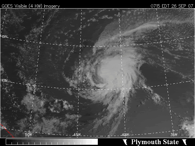
Karen may indeed impact the Leewards and enter the Hebert box.
......

Please lets remember that the "Hebert Box" is nothing mystical.
It only says that of the storms that affect South Florida most of them go through the Hebert Box.
It DOES NOT say that every storm that DOES go through the box will then hit South Florida.
And to add to that further its only in play for MAJOR hurricanes[/quote]
That is a MAJOR point that is generally missed when talking about the Hebert Box.
The theory says:
"If Floridians want an indication of a possible hit they need to keep an eye on any hurricane that passes through these boxes. Nearly every major Hurricane that hit S Florida since 1900 passed through these boxes. When major Hurricanes miss these boxes,they virtually always miss South Florida." (credit to
http://www.hurricanecity.com/hebertbox.htm)
Often people think that any disturbance that crosses into the box applies.
WAY too often, people think that ANY storm that goes through the box will affect South Florida.
This is simply incorrect.
I will say that the models sure have shifted closer to the Islands and to a course towards the CONUS.
However, like Daniel said earlier, it may give a look at the CONUS but will still most likely turn away.
Don Sutherland had an excellent statistical look at this in the Tropical Analysis thread (
viewtopic.php?f=29&t=98285) about the number of storms (0) that made landfall when they developed east of 40W after Sept 20.
So, maybe we get a little excitement until Karen takes the "expected" path away.
I still would prefer that the models not keep moving more and more west.......