fact789 wrote:tolakram wrote:image omited
Loop:
http://rammb.cira.colostate.edu/ramsdis ... _floater_2
and how about that disturbance in the EPAC...
I didnt even notice that before.
99E: viewtopic.php?f=59&t=98343&p=1645761#p1645761
Moderator: S2k Moderators


fact789 wrote:tolakram wrote:image omited
Loop:
http://rammb.cira.colostate.edu/ramsdis ... _floater_2
and how about that disturbance in the EPAC...
I didnt even notice that before.
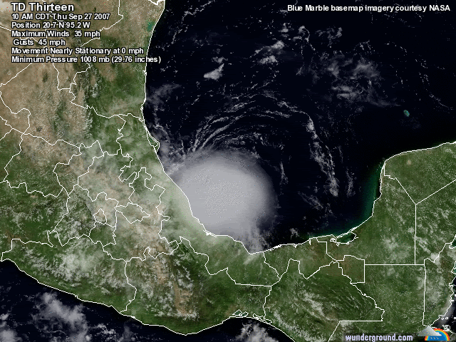
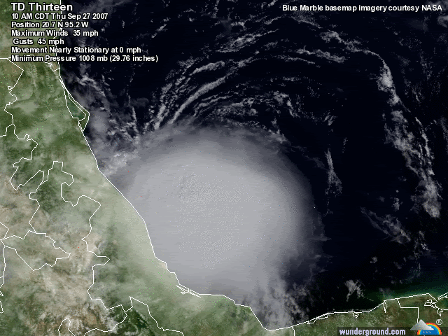
NHC wrote:DATA FROM AN AIR FORCE RECONNAISSANCE PLANE INDICATE THAT THE
MAXIMUM SUSTAINED WINDS HAVE INCREASED TO NEAR 60 MPH...95
KM/HR...WITH HIGHER GUSTS. NO SIGNIFICANT CHANGE IN STRENGTH IS
FORECAST DURING THE NEXT 24 HOURS.


Recon finds TD 13 has quickly intensified into a tropical storm.
Per recon data early this afternoon of 63kts at flight level… TD # 13 is upgraded to a 60mph tropical storm. Deep convective explosion has developed near and over the center and there are hints of a partial eyewall on Mexican radar. Although the surface pressure remain a little high…given the slow motion and much more favorable upper air pattern Lorenzo may attempt to become a hurricane.
No changes to forecast track as the system should move into Mexico late Friday. Given the rate of intensification and tiny core…similar to Humberto…continued intensification is possible at or above hurricane intensity.


srainhoutx wrote:Thanks for the Recon Obs CrazyC83. Great Job on another interesting mission.
Users browsing this forum: No registered users and 85 guests