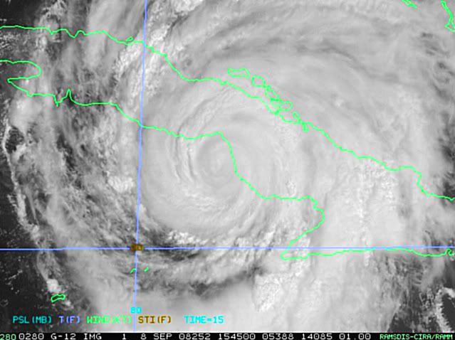
jinftl wrote:From Friday 5pm NHC Discussion:
ALL MODELS SUGGEST SOME SORT OF WEAKNESS IN THE RIDGE NEAR FLORIDA IN A
FEW DAYS BETWEEN A RIDGE OVER THE WESTERN ATLANTIC AND THE GULF OF
MEXICO. THIS WEAKNESS MAY ALLOW A WEST-NORTHWEST OR NORTHWEST TURN
OF THE HURRICANE.
As you see, things can change. Add in the average 250 mile of error for 5-days out...the whole Gulf is at risk.
You know...it would really help...if you are going to quote the NHC...to NOT take them out of context...
THIS IS EXPECTED TO CAUSE IKE TO TURN TEMPORARILY TO THE NORTHWEST
WITH A REDUCTION IN FORWARD SPEED. ALL MODELS FORECAST THE
SHORTWAVE TO BYPASS IKE TO THE NORTH...AND ARE NOW IN MUCH BETTER
AGREEMENT THAT IKE WILL TURN SLIGHTLY WESTWARD IN ABOUT 3 DAYS.