
ATL GUSTAV: Tropical Depression - Discussion
Moderator: S2k Moderators
-
D3m3NT3DVoRT3X

- Tropical Low

- Posts: 31
- Age: 47
- Joined: Thu Aug 16, 2007 6:37 pm
- Location: The Burg < FL
Re: Cat. 3 Hurricane Gustav in NW Caribbean Sea
Yeah the conditions are totally different and this storm, at least I hope, is not projecting to make landfall as a Cat-5 ... it just reminded me. I have looked at that Camille image several times.Sanibel wrote:No ULL or Hanna to the east of Camille.
Its more the visual lions mane look than anything.
OK the Wobble Wars thing is cracking me up ... thanks for lightening the mood a little folks.
0 likes
-
D3m3NT3DVoRT3X
- Tropical Low
- Posts: 31
- Age: 47
- Joined: Thu Aug 16, 2007 6:37 pm
- Location: The Burg < FL
Re: Cat. 3 Hurricane Gustav in NW Caribbean Sea
seemed like there needed to be a tension breaker ..
0 likes
-
Texashawk

- Category 2

- Posts: 579
- Joined: Tue Aug 14, 2007 1:50 am
- Location: Missouri City, TX (Houston)
Re: Cat. 3 Hurricane Gustav in NW Caribbean Sea
weunice wrote:Creepy. I don't know but this image
reminded me of this one


Can you imagine being an NHC forecaster, without the benefit of all the tools we take for granted today, seeing Camille on satellite, and being asked to plot a track that would keep people out of harm's way? I have a lot of respect for the NHC pioneers, but I bet a lot of aspirin, antacids, and smokes were the order of the day once in a while!!
0 likes

If you look at the WV *loop* you can see the trough cutting off near the LA coast, the upper air is starting to move west <----- in the northern gulf.
Not a minute too soon for Tampa with the surge problem..
Not a minute too soon for Tampa with the surge problem..
Last edited by Nimbus on Sat Aug 30, 2008 10:47 am, edited 1 time in total.
0 likes

Re: Cat. 3 Hurricane Gustav in NW Caribbean Sea
Sanibel wrote:No ULL or Hanna to the east of Camille.
For what its worth,in the 11am advisory disc.,it was noted that Gustav is not forecast to weaken dramatically while in the Gulf.My interpretation is he will make landfall as a cat 3.,possibly 4
0 likes


-
Dean4Storms
- S2K Supporter

- Posts: 6358
- Age: 63
- Joined: Sun Aug 31, 2003 1:01 pm
- Location: Miramar Bch. FL
If this track continues for another 3-6 hours the forecast track will have to shift a good bit east IMO.
I should add.........at least in the short term- 36 hrs.
I should add.........at least in the short term- 36 hrs.
Last edited by Dean4Storms on Sat Aug 30, 2008 10:52 am, edited 1 time in total.
0 likes
Re:
Nimbus wrote:If you look at the WV *loop* you can see the trough cutting off near the LA coast, the upper air is starting to move west <----- in the northern gulf.
Not a minute too soon for Tampa with the surge problem..
ditto for Key west imo, big difference between very strong tropical strom force winds and weak ts winds
0 likes

Re:
Dean4Storms wrote:If this track continues for another 3-6 hours the forecast track will have to shift a good bit east IMO.
I disagree...we have been watching these long enough to know a wobble or jog tends to correct itself in the end game.....JMO......we agree to disagree....
0 likes
-
TTheriot1975
- Tropical Storm

- Posts: 113
- Age: 51
- Joined: Thu Aug 16, 2007 8:12 pm
- Location: Southeast Texas
Re: Cat. 3 Hurricane Gustav in NW Caribbean Sea
http://metofis.rsmas.miami.edu/~dortt/s ... 1_loop.gif
there is not a "surprise" little ull in the S gom (just north of yucatan) right
i was just starring at screen and thought ......maybe....doubt it...but wanna make sure
there is not a "surprise" little ull in the S gom (just north of yucatan) right
i was just starring at screen and thought ......maybe....doubt it...but wanna make sure
0 likes
-
Jason_B
Re: Re:
The Florida poster sees a more eastern track and the Texas poster sees the opposite...figures.ROCK wrote:Dean4Storms wrote:If this track continues for another 3-6 hours the forecast track will have to shift a good bit east IMO.
I disagree...we have been watching these long enough to know a wobble or jog tends to correct itself in the end game.....JMO......we agree to disagree....
0 likes
Re: Cat. 3 Hurricane Gustav in NW Caribbean Sea
It's looping but the smoothed track is still NW - those individual loops can make it look like it's moving W, N, NE, etc...
The long term track is interesting per three of the models, which call for it to not make landfall but move southward...
That'd be something, for sure...
The long term track is interesting per three of the models, which call for it to not make landfall but move southward...
That'd be something, for sure...
Last edited by Frank2 on Sat Aug 30, 2008 10:59 am, edited 1 time in total.
0 likes
-
Portastorm

- Storm2k Moderator

- Posts: 9955
- Age: 63
- Joined: Fri Jul 11, 2003 9:16 am
- Location: Round Rock, TX
- Contact:
Re: Cat. 3 Hurricane Gustav in NW Caribbean Sea
Someone just told me that Mayor Nagin has called for MANDATORY evacuation of New Orleans. Can anyone confirm?
0 likes
Re: Cat. 3 Hurricane Gustav in NW Caribbean Sea
If this track continues for another 3-6 hours the forecast track will have to shift a good bit east IMO.
It could be that Hanna and the ULL are squeezing the steering feature above Gus slightly. I would trust the High coming down towards the end of the track. Hanna is already showing us that 2008 is an odd track year.
What you would have to worry about is Hanna and the ULL influencing Gus enough to bring it SE of N.O. before catching the High and turning Gus right over N.O - or close - . So far I'm not seeing enough of a track deviation for that. We're just slightly right of NHC now, but the track could still change.
It's looping but the smoothed track is still NW - those individual loops can make it look like it's moving W, N, NE, etc...
Thank you Frank2.
Last edited by Sanibel on Sat Aug 30, 2008 11:01 am, edited 1 time in total.
0 likes
-
soonertwister
- Category 5

- Posts: 1091
- Joined: Mon Jun 16, 2003 2:52 pm
Re: Cat. 3 Hurricane Gustav in NW Caribbean Sea
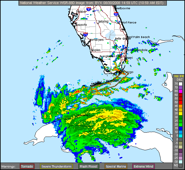
Just looked at the Key West conditions, they aren't expecting significant storm tides east of the Dry Tortugas, so it looks like Key West just has to look out for high winds, possible heavy rains, and the slight possibility of a weak passing tornado.
Probably the highest tide conditions should occur tommorrow morning, shortly before noon.
Probably the highest tide conditions should occur tommorrow morning, shortly before noon.
0 likes
Re: Cat. 3 Hurricane Gustav in NW Caribbean Sea
it's official...wobble watch has begun for gustav...time to step back from the computer for a hours...plus, i have to go wobble watch hanna!
0 likes
Who is online
Users browsing this forum: Google [Bot] and 20 guests