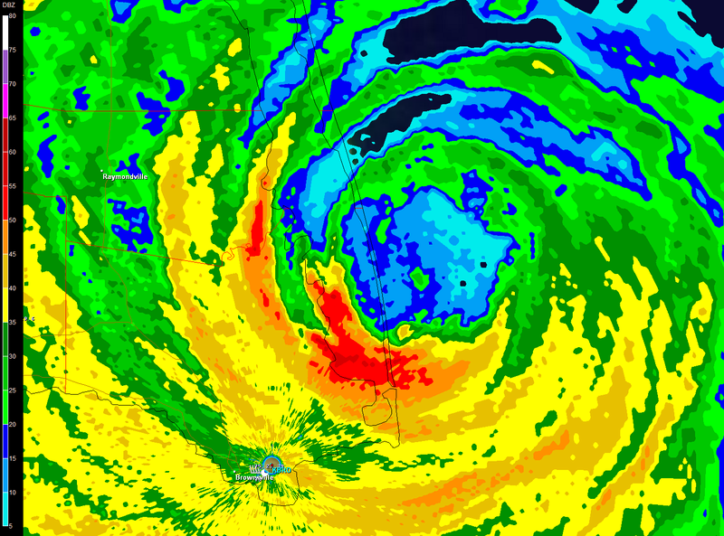
MiamiensisWx wrote:I apologize if this is inappropriate, but I believe the NHC should set the upcoming landfall intensity at ~80 kt. Not only is it supported by data, but it is also important to assume that some members of the general public may believe they experienced a stronger TC if the Cat 2 status is maintained for the landfall intensity. Most people do not adhere to these unnamed "members", but there are always people who experience the outer fringes of a TC and believe that they experience stronger winds than reality. They may take advantage of Lixion Avila's rationally conservative nature and say, "I went through a Cat 2 and it wasn't so bad!"
I can see some "dangers" here...
I agree. They will probably adjust it for best track.