
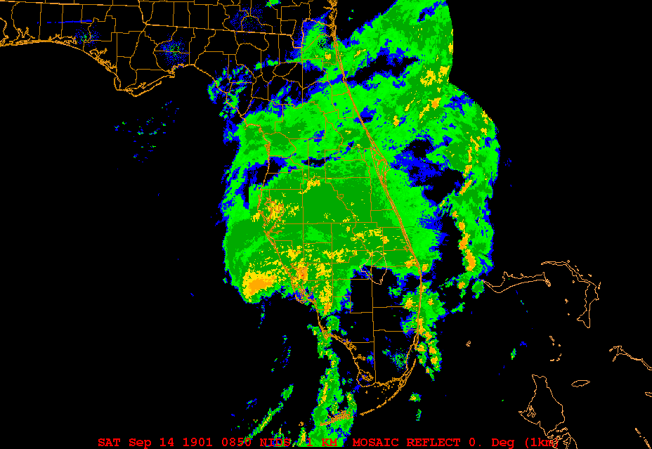
Frank2 wrote:Fay is almost subtropical in appearance, since there is very little convection south and west of the center at this time - it seems that Key West residents might see some sun before the afternoon is over...
good observation frank, while people say this is starting to look good, it is missing convection on it's southern side, should a blob fire south of key west i will be on that band wagon, but otherwise it appears the LLC has just got it's act together Se of key west and that's about it so far


