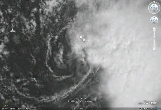
QUIKSCAT is not seeing a well-defined circulation either.
Moderator: S2k Moderators
Weatherfreak000 wrote:Regardless whether they look good or not , have convection over the center or any of those variables it should not matter.
The case in point is simply an area with a circulation...convective activity at least very close to the center and wind speeds to justify is a TROPICAL CYCLONE.
Were 93L to make landfall it would bring TROPICAL CYCLONE conditions to the area. There is no other reason to debate this because I was under the assumption science came after people's safety.
And I know 93L isn't affecting land but the GOM inconsistency stands here...any cyclone producing TC conditions should be mentioned as it is. It as an absolute freaking joke the NHC tries to tell the public 93L right now is a "Tropical Disturbance"
This inconsistency desperately needs to be solved...or we will have these arguments every season.


fci wrote:Weatherfreak000 wrote:Regardless whether they look good or not , have convection over the center or any of those variables it should not matter.
The case in point is simply an area with a circulation...convective activity at least very close to the center and wind speeds to justify is a TROPICAL CYCLONE.
Were 93L to make landfall it would bring TROPICAL CYCLONE conditions to the area. There is no other reason to debate this because I was under the assumption science came after people's safety.
And I know 93L isn't affecting land but the GOM inconsistency stands here...any cyclone producing TC conditions should be mentioned as it is. It as an absolute freaking joke the NHC tries to tell the public 93L right now is a "Tropical Disturbance"
This inconsistency desperately needs to be solved...or we will have these arguments every season.
A Tropical Wave can also bring "Tropical Cyclone" conditions to an area.
Do you advocate throwing all the rules out and naming systems solely based on conditions?
To take it on exaggerated step further; a line of severe afternoon thunderstorms can bring "Tropical Cyclone" conditions to an area in the name of high winds and excessive rainfall. Do we name those too?
The science is clear and was explained by the NHC Forecaster in his reply to Sandy.


Frank2 wrote:It reminds me of one of many "classic El-Nino tropical storms" of the early and mid 1980's - they always had an exposed LLC due to westerly shear, which meant that just west of the center the weather was usually good enough for a picnic...
That's one sure sign of an early end to this season - the westerlies are already dropping south...
LOL

Users browsing this forum: No registered users and 5 guests