#190 Postby NEXRAD » Mon May 18, 2009 9:35 pm
Monday PM Notes
If you showed me the radar imagery of the pre-frontal convective band sweeping (slowly) through Florida today, I'd have guessed I was looking at radar from January or February. The present system is definitely more like a classic continental front with deep Gulf low pressure center than anything tropical. With the trough continuing to deepen prior to its forming the well-advertised cut-off low aloft, the best divergence has shifted Eward and is now over and east of the Florida Peninsula. Meanwhile, the frontal boundary penetrated distinctly farther south than many previous official forecasts called for (kudos for KMFL for calling this one). Previous discussions from the HPC and many NWS offices called for the front stalling over Central Florida, but it has penetrated to at least the Naples to West Palm Beach/Jupiter area. This has shunted the principle convergence along the boundary farther south and east, too. As of 02Z, the boundary's convergence zone is situated along the Southeast Florida Coast northeast to near Nassau and then well offshore Cape Canaveral. Radar imagery clearly shows this zone as having continuous convective development with widespread moderate to heavy showers and embedded t'storms. With over-running moisture north of the boundary, there exists a broad area of more light precipitation, with scattered embedded moderate to heavy cells, offshore East Central and over Northeast Florida.
For cyclogenesis, HPC analyses continue to show a weak 1010mb low pressure situated in vicinity of the Lower Keys. This feature is weakly evident on Key West 88D and shortwave IR satellite imagery. Per Florida mesonet data, though, the lowest pressures seem a bit farther south from the HPC 00Z analyzed position. This farther south position better coincides with the RUC/2 analysis (which it should be noted was very successful in its handling of how far south the frontal boundary dropped). Based on surface obs, satellite, and radar imagery, the surface low is more likely a broad weakly circulated trough zone that has yet to completely close-off.
For the next 12-hours, look for the SE Gulf of Mexico low to become better defined. As this happens, the frontal boundary should surge back north-northwest as a weak warm front. This will shift the prime convergence zone westward with it setting up along the Florida East Coast south of Cape Canaveral overnight. RUC/2 analysis suggests convection should diminish considerably over the Srn 1/3rd of Florida overnight. Although I agree that the activity, which was likely partially diurnally driven, will weaken some, with deep moisture in place, strong divergence aloft, and a boundary to focus activity, I'd expect at least widespread light to moderate rainfall to persist well into the early morning hours for much of the Eastern Florida Peninsula. More limited convergence will restrict precipitation more across the Western Florida Peninsula overnight. However, activity moving onshore north of the boundary will progress gradually Wward across the Peninsula, mostly as light rain. Once the upper low closes off over the Ern Gulf of Mexico (which seems likely to happen by around the AM rush-hour, Tuesday), upper divergence should become even more impressive over Florida. This combined with the likely Nward retreating frontal boundary should allow for more widespread, heavy, precipitation to take root across much of Florida during the day Tuesday.
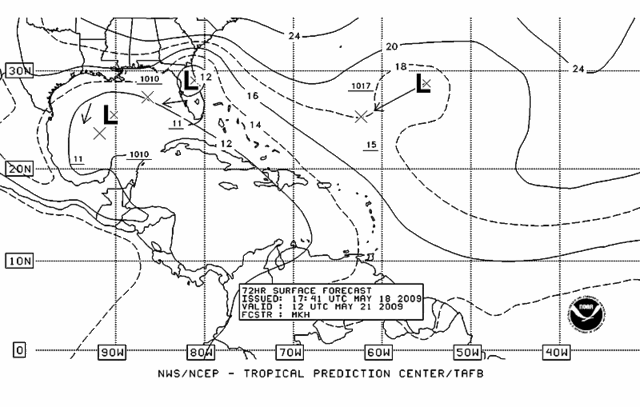
Farther southeast... For the true 90L disturbance, I see little potential for this system to develop tropically. More likely its moisture will be streamed NW as the upper level cut-off low takes shape.
This information is not an official product; always consult the Tropical Prediction Center and your local National Weather Service for the latest official guidance and forecasts for your local area.
- Jay
0 likes