vacanechaser wrote:thanx for locking/deleting the other post... i did nto see this thread... thanx
Actually, I merged both threads!
Moderator: S2k Moderators


vacanechaser wrote:thanx for locking/deleting the other post... i did nto see this thread... thanx


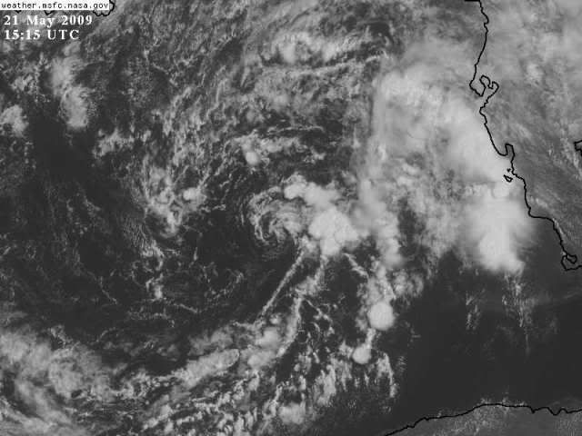
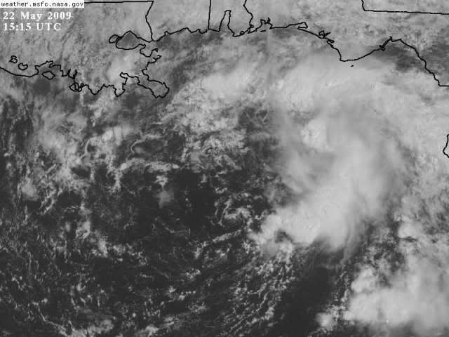
nashrobertsx wrote:AL, 90, 2009052212, , BEST, 0, 266N, 873W, 25, 1006, LO, 34, NEQ, 0, 0, 0, 0, 1011, 300, 125, 0, 0, L, 0, , 0, 0, INVEST, M,
JESSE, can you decode this please?


TropicalWXMA wrote:AL, 90, 2009052212, , BEST, 0, 266N, 873W, 25, 1006, LO, 34, NEQ, 0, 0, 0, 0, 1011, 300, 125, 0, 0, L, 0, , 0, 0, INVEST, M,
Coordinates: 26.N/87.3W
Pressure: 1006
Winds: 34 mph.
That's the best I could do!nashrobertsx wrote:AL, 90, 2009052212, , BEST, 0, 266N, 873W, 25, 1006, LO, 34, NEQ, 0, 0, 0, 0, 1011, 300, 125, 0, 0, L, 0, , 0, 0, INVEST, M,
JESSE, can you decode this please?


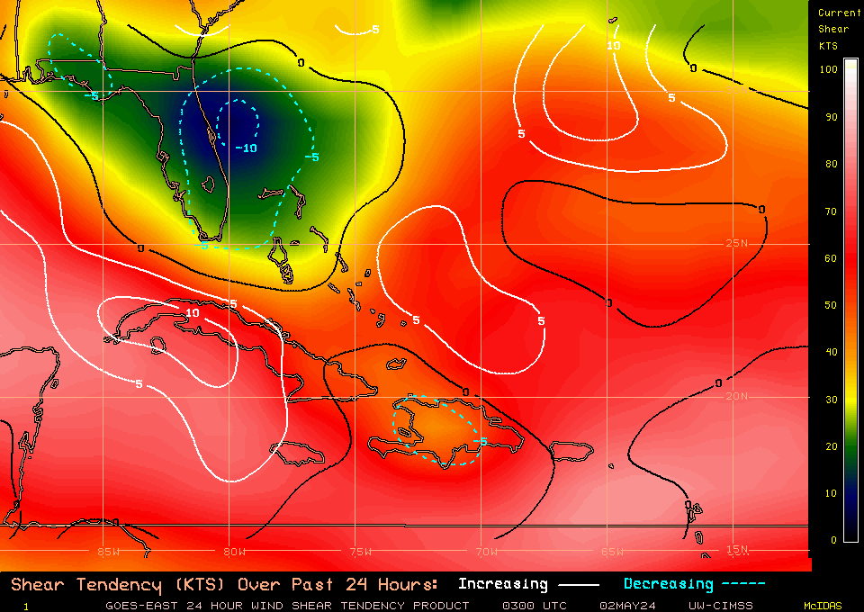
Bailey1777 wrote:On WV imagery it looks like dry air is starting to really kick it's butt.
The posts in this forum are NOT official forecast and should not be used as such. They are just the opinion of the poster and may or may not be backed by sound meteorological data. They are NOT endorsed by any professional institution or storm2k.org. For official information, please refer to the NHC and NWS products.


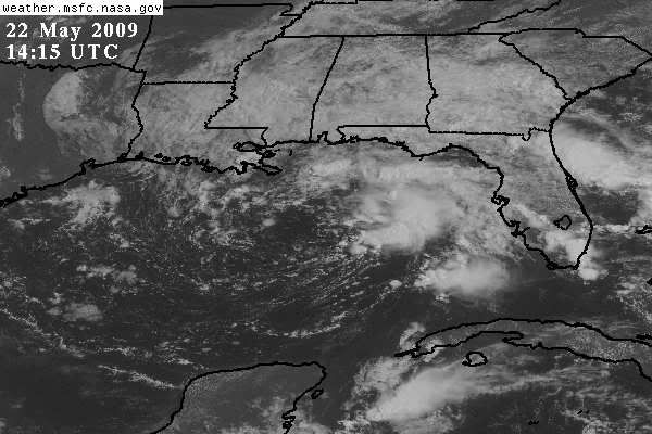
gatorcane wrote:Bailey1777 wrote:This won't become Anna or even a depression but will stay as an invest.
Users browsing this forum: No registered users and 32 guests