Moving inland.
Moderator: S2k Moderators


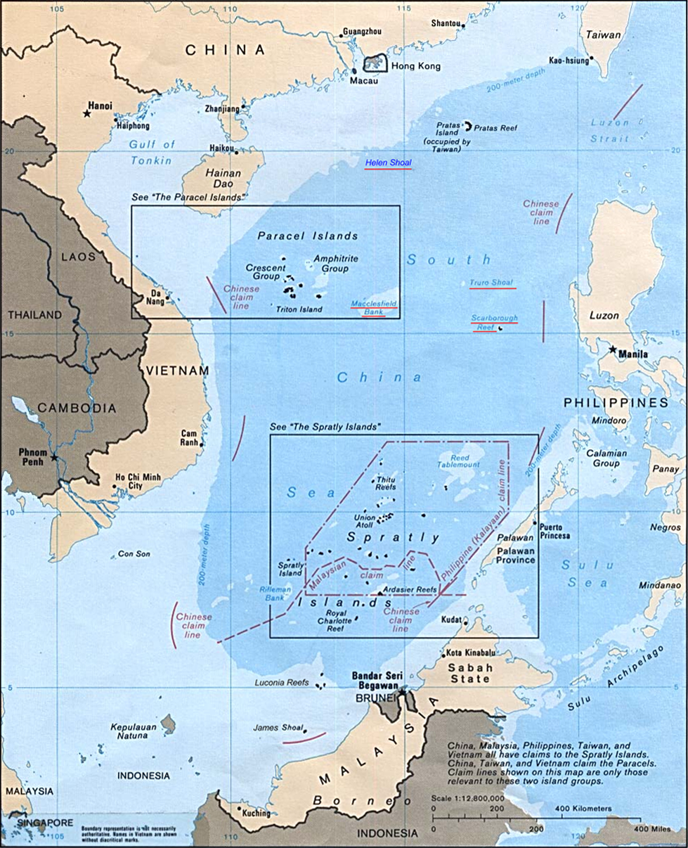
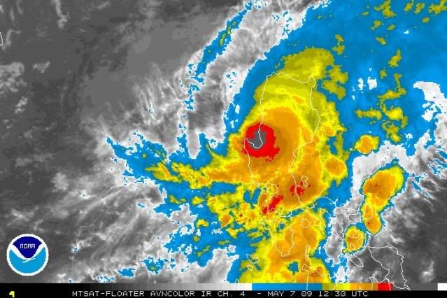
HURAKAN wrote:HurricaneBill wrote:What is the little island to the east of Chan-Hom's eye?
Little island? Luzon.
Chacor wrote:


--------------------------------------------------------------------------------
Time/Date: 12:00 AM PST Fri May 08 2009
Location of Center: 17.0º N Lat 121.3º E Lon
Distance 1: Over Ifugao-Mt.Province Border
Distance 2: 80 km (43 nm) SW of Tuguegarao City
Distance 3: 100 km (55 nm) NE of Baguio City
Distance 4: 155 km (83 nm) NE of Dagupan City
Distance 5: 115 km (63 nm) SE of Vigan City
Distance 6: 125 km (67 nm) NW of Casiguran, Aurora
Distance 7: 280 km (150 nm) North of Manila
MaxWinds (1-min avg): 120 kph (65 kts) near the center
Peak Wind Gusts: 150 kph (80 kts)
Saffir-Simpson Scale: Category 1
Coastal Storm Surge Height: 0 feet [0 m]
Central Pressure: 974 millibars (hPa)
Recent Movement: ENE @ 24 kph (13 kts)
General Direction: Isabela-Cagayan Area
Size (in Diameter): 665 km (360 nm) / Avg/Large
Max Sea Wave Height (near center): 18 ft (5.4 m)
T2K TrackMap (for Public): 8 PM PST Thu May 7
JTWC Ship Avoidance Final TrackMap: 12Z Thu May 7
Multi-Agency Forecast TrackMap: 8 PM Thu May 7 new!
TSR Wind Probabilities: Current to 36 hrs lead
Zoomed Satellite Pic: Near Real-Time
Wunderground Animation: 6-12 hr. GIF Loop
PHILIPPINE STORM SIGNAL # THREE (3)
Now In Effect: PANGASINAN, NORTHERN ZAMBALES, TARLAC, NUEVA VIZCAYA, BENGUET, LA UNION, ILOCOS PROVINCES, IFUGAO, MT. PROVINCE, KALINGA, APAYAO, AND ABRA.
PHILIPPINE STORM WARNING SIGNAL # TWO (2)
In Effect: REST OF ZAMBALES, PAMPANGA, NUEVA ECIJA, QUIRINO, ISABELA, CAGAYAN, BABUYAN AND BATANES.
The above areas will experience stormy weather tonight until tomorrow (with winds of up to 100 kph for #02 and more than 100 kph for #03). Coastal waters will be rough to very rough and extremely dangerous to all types of seacrafts.
PHILIPPINE STORM WARNING SIGNAL # ONE (1)
In Effect: METRO MANILA, LUBANG ISLAND, BATAAN, BULACAN, CAVITE, RIZAL, NORTHERN QUEZON, AND AURORA.
The above areas will have rains and winds of not more than 60 kph tonight until tomorrow. Coastal waters will be moderate to rough.
Residents living in low-lying and mountainous areas under Public Storm Warning Signal Numbers 1, 2 & 3 are alerted against flashfloods, mudflows, mudslides and landslides...while those living in coastal & beach-front areas are advised to seek higher grounds due to possible storm surge that could reach a high of 4 to 5 feet.


Users browsing this forum: No registered users and 46 guests