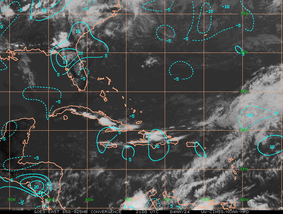
Dean4Storms wrote:I see outflows racing away from the convection in all directions which is usually indicative of no LLC. Give it another day folks!
i thought good outflow was indicative of a well established, breathing system?
Moderator: S2k Moderators
Dean4Storms wrote:I see outflows racing away from the convection in all directions which is usually indicative of no LLC. Give it another day folks!


I-wall wrote:Dean4Storms wrote:I see outflows racing away from the convection in all directions which is usually indicative of no LLC. Give it another day folks!
i thought good outflow was indicative of a well established, breathing system?
I-wall wrote: i thought good outflow was indicative of a well established, breathing system?


Users browsing this forum: No registered users and 31 guests