Bailey1777 wrote:are those intensity models based on showing potential if things are just right or do they represent that things are expected to get just right? hope you get what iam asking.
They represent what is expected.
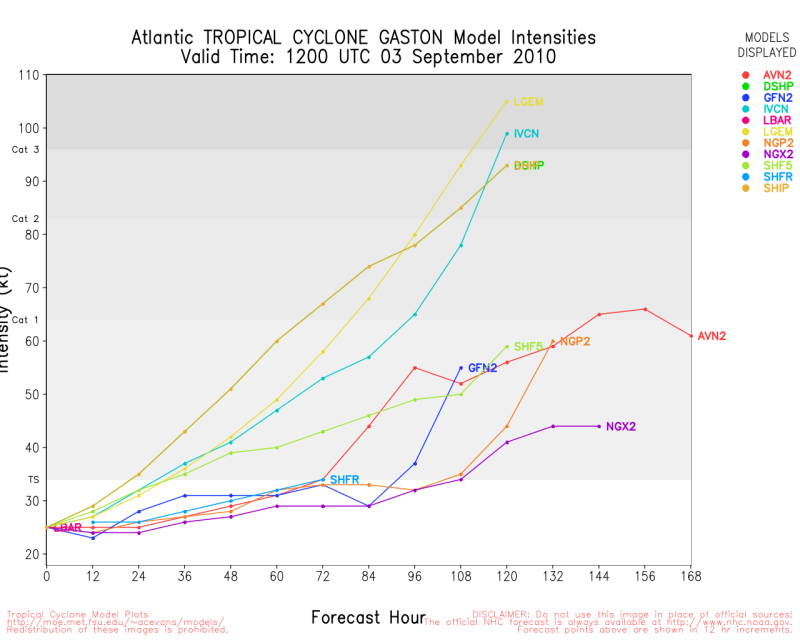
Let me go over SHIPS because it is the easier to understand. Here is the basic idea. SHIPS is a statistical method where a number of factors are considered.
For every period each factor is either a windspeed addition or subtraction and the numbers (in knots) are added together for all the factors each period. The numbers for each factor come from the historical relationships between those values and whether storms typically strengthened or weakened at those values and to what degree.
So a high ocean temperature will add x knots to the top wind speed depending on the temperature if it is above a certain value; the higher the temp. teh higher the gain in knots. The largest factors are shear and ocean temperature. When there is high shear expected SHIPS subtracts something from the top wind speed in that period depending on what the historical correlation is.
Every few years new correlations for recent storms are computed and new values obtained.
In the next 5 days, SHIPS adds 41 knots to Gaston's top wind speed for the ocean temperatures along its expected path.
17 knots are added for the vertical shear magnitude. 13 knots are added for what a storm would normally gain at this time of year.
11 knots are added for the ocean heat content. 7 knots are added for the vertical shear direction. There are a number of smaller factors
also.
While there are certainly shortcomings the statistical methods have been the most accurate of the models for intensity forecasts with LGEM being the best the past 3 years. DeMaria, one of the creators of SHIPS is the creator of LGEM.
You can get further info from DeMaria et al's papers.
SHIPS
http://rammb.cira.colostate.edu/researc ... _SHIPS.pdfhttp://rammb.cira.colostate.edu/resourc ... eMaria.pdfLGEM
http://rammb.cira.colostate.edu/resourc ... lified.pdf