#3075 Postby capepoint » Tue Aug 31, 2010 6:30 pm
Interesting analysis from a local Eastern NC TV met with about 25 years experience here on the NC coast. Copied from WCTI12.com
StormTrack 12 Planning
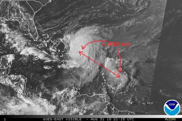
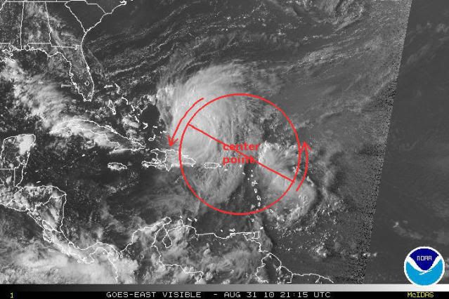
As we move toward Tuesday evening, we continue to track Hurricane Earl...still at 135 mph category 4 hurricane. The forecast track from the Tropical Prediction Center still keeps Earl offshore of eastern NC late Thursday night and early Friday morning. That forecast is based on a cold front moving from the central parts of the US to the east coast and nudging Earl and the high pressure system offshore that is steering Earl....to the east...and that would result in Earl turning to the north and running parallel to the Outer Banks rather than making a direct landfall. One of my concerns right now is that the front is not moving...it seems to be stuck in the center of the US...which leaves the high pressure offshore as the main player is steering Earl...and that means a more northwestward track....closer to the NC coast. At the present, it is prudent for me to stick with the TPC's forecast track, but if that front doesn't start to move eastward, I will have to re-evaluate that position and try to figure out just how much further to the west (closer to the coast) that it might move.
All that having been said, let's talk about what kind of effects we could see locally if it follows the TPX track. We can expect 40-50 mph winds (gusting to 60) across Outer Banks Dare and Hyde counties late Thursday into Friday with 30-40 mph winds along the Carteret and Onslow county beaches.Seas along the beachfront areas of the Outer Banks will likely run 15-20 feet. Storm surge along the Outer Banks could run 5-8 feet with 5-6 feet of storm surge on the sound side of Hatteras and Ocracoke Islands as the storm departs. In Carteret County, it would be more likel 3-4 feet of soundside flooding affecting mainly Cedar Island and Long Bay. That could cause some issues with flooding on SR12 between the North River and Cedar Island. It is important to note, that on the present track, there will be very little wind, rain or storms west of US17 (so Williamston to Greenville to Kinston to Beaulaville) experiencing any sort of Tropical Storm or Hurricane conditions on Thursday or Friday. Last, but not least, stay in touch....a lot could be changing if the front doesn't push Earl offshore as forecast...if that is the case, we would be tracking the storm much closer to the coast and with much greater effects in the HURRICANE WATCH counties which include Onslow, Carteret, Craven, Pamlico, Beaufort, Hyde, Washington, Tyrrell, Dare and Chowan counties.
....things that make you say hummmmm.....
0 likes
Ginger-(eye),Dennis,Diana,Kate,Gloria,Charley-(eye),Allison,Arthur,Bertha,Fran,Josephine,Bonnie,Earl,Dennis-(twice),Floyd, Isabel-(eye),Charley,Ophelia-(eyewall),Ernesto,Barry,Hanna,Irene-(eye),Arthur-(eye), Florence, Dorian, and countless depressions, storms, and nor'easters.


