Track and forecast ... that's what's I like about intellicast.com
Moderator: S2k Moderators


HURAKAN wrote:
Track and forecast ... that's what's I like about intellicast.com


alan1961 wrote:Hi Hurakan, do you know what as happened to the
track map on NRL Monterey, dont seem to be there anymore?

Sanibel wrote:No chance on re-forming and heading into the Gulf - right?
HURAKAN wrote:alan1961 wrote:Hi Hurakan, do you know what as happened to the
track map on NRL Monterey, dont seem to be there anymore?
The JTWC is using the NHC's map for the track
Link - http://www.usno.navy.mil/JTWC
Hurricane Andrew wrote:Personal Forecast Disclaimer:
The posts in this forum are NOT official forecast and should not be used as such. They are just the opinion of the poster and may or may not be backed by sound meteorological data. They are NOT endorsed by any professional institution or storm2k.org. For official information, please refer to the NHC and NWS products.
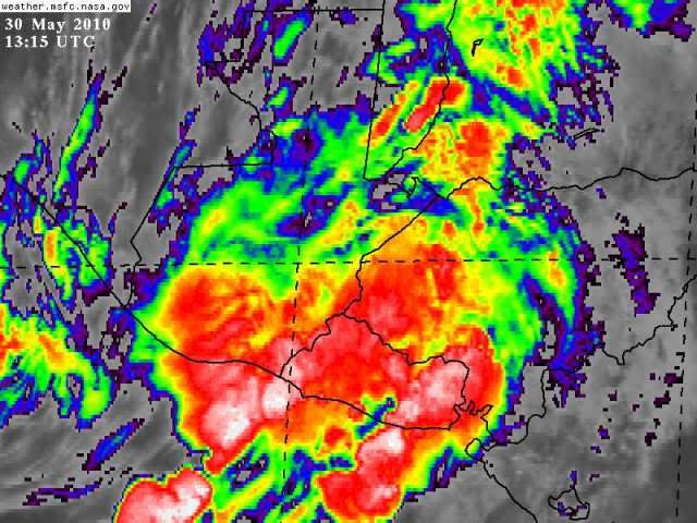
The storm is now overland. It will be moving over warm carribean waters over the next 24-36 hours. Then the storm will assume a NE or NNE track towrds florida.
Some convection is already coming off the coast into the carribean.
Based on the info above plus the GFDL and HWRF model runs,this is my forcast below.
0 Hours-TD-30MPH,inland
6 Hours-TD-25MPH,inland
12 Hours-TD-25MPH,inland
24 Hours-TD-25MPH,emerging into the carribean
48 Hours-TD-35MPH
72 Hours-TS-50MPH
96 Hours-TS-60MPH,nearing cuba
120 Hours-TS-65MPH,over cuba
Next forcast by me will be issued at 2PM EDT
Users browsing this forum: No registered users and 37 guests