cperez1594 wrote:Morning everyone from South Texas, Harlingen area. Wow what a night we had. I had a peak gust of 73mph. I live near the airport and there is pretty good damage and lost of power lost. Trees, light poles, roof singles all on the ground. Lost of power lost in the area, lastnight look like a light show, so many transformers blowing all over the place. It sure did not seem like a Tropical Storm lastnight , maybe a Minimal Cat 1 Hurricane. The eye went right over us lastnight and seem liked forever.
1st we're glad you made it through ok and hopefully with minimal damage. If you had a 73 mph gust I imagine the coast was seeing higher. wish there were more reporting stations in that area.
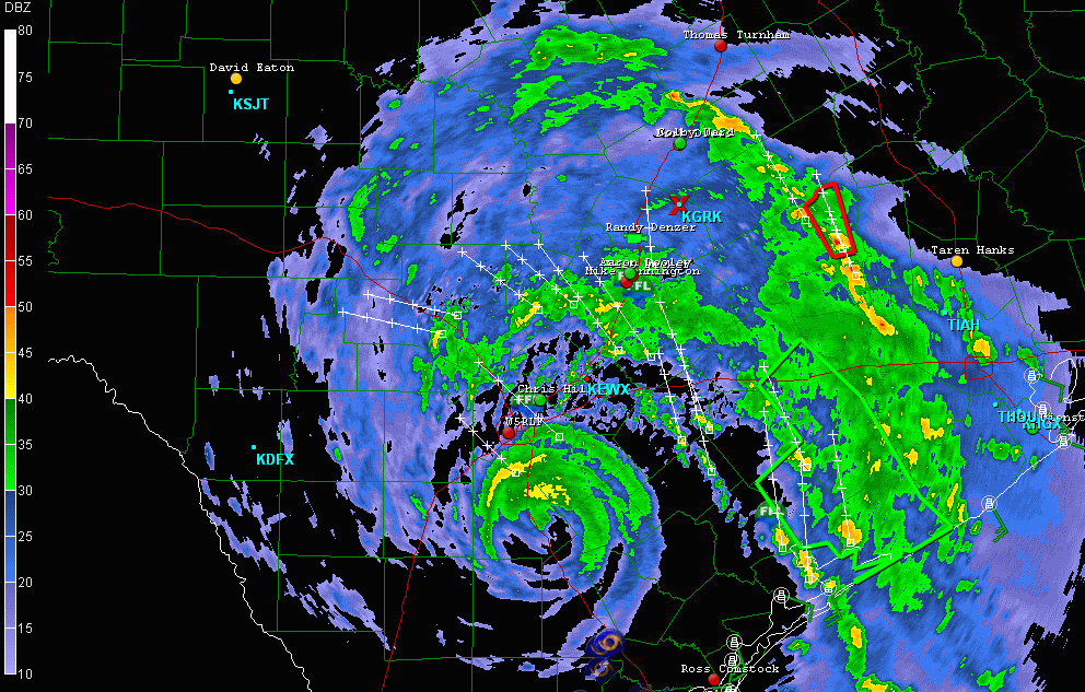
Hermine is moving N based on the radars as opposed to the NW that was expected. Looks like the brunt of Hermine may be seen along I-35 and Eastwards. Currently strong rain bands are about 40-50 mi W and SW of Houston. Gusts reported to 45 mph in some of those. Along the coast the winds are running in the 20's sustained with gusts into the 30's(Galveston). Looks like a rough day for most of TX from I-35 to the East. I'm sure the hill country will get in on it too, but based on the radar trends that area may not get as much rain and wind as originally thought. Everyone in TX please be watchful and safe today!!