ATL: OTTO - Post-tropical - Discussion

Moderator: S2k Moderators

Message
Author
User avatar
SouthDadeFish
Professional-Met
Professional-Met
Posts: 2835
Joined: Thu Sep 23, 2010 2:54 pm
Location: Miami, FL
Contact:

Re: Re:

#81 Postby SouthDadeFish » Thu Sep 30, 2010 2:03 pm

abajan wrote:Considering that hurricane was 230 years ago, the climate may have changed, if ever so slightly. But yes, I’ve also noticed that the sea surface temps in this region are the warmest in the Atlantic.
Welcome to S2K, BTW! :)


I'm a little late, but thank you :D It will be interesting to see how these extremely warm SSTs will affect 97L. Perhaps this will tend to consolidate the system farther south over the warmer waters.
0 likes   

User avatar
btangy
Professional-Met
Professional-Met
Posts: 758
Joined: Fri Sep 19, 2003 11:06 pm
Location: Boulder, CO
Contact:

Re: ATL: INVEST 97L - Discussion - (Code Orange)

#82 Postby btangy » Thu Sep 30, 2010 2:07 pm

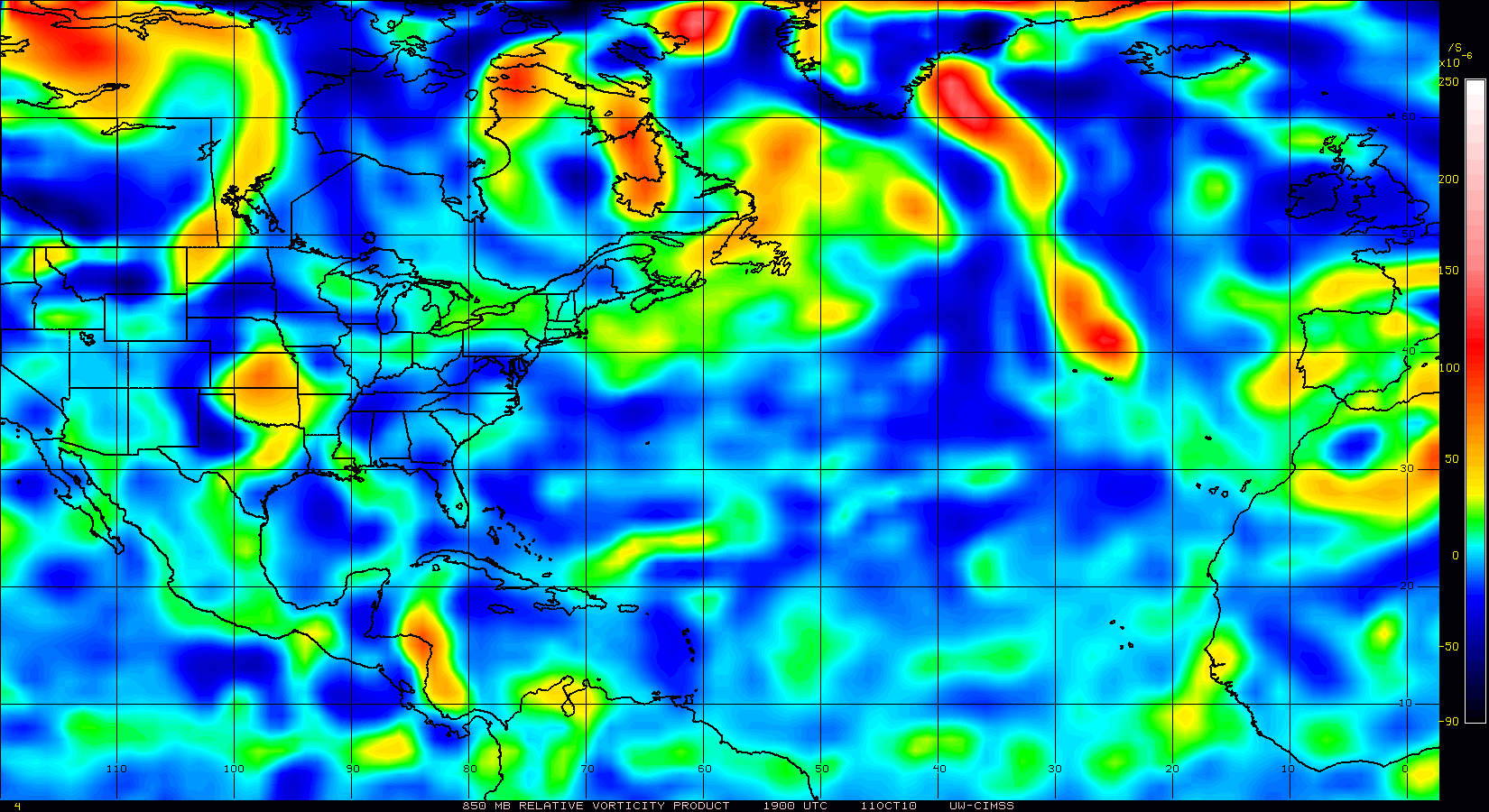
Here's the 925 mb analysis from the PREDICT NCAR-GV flight that ran from 12-18Z today. We investigated what we're calling PGI48L. Originally, we were planning to investigate PGI51L, but we decided to go further east given the latest model data and analyses from this morning. You can see there are some pretty strong winds on the N side of the system - upwards of 40 knots! We found an area of southwesterlies stradling 10N indicative of a pretty strong wave axis, which we didn't expect to find. Combining this data with an ASCAT pass from this morning suggests a elongated area of convergence and cyclonic curvature in the low-level winds extending from 12.5N, 55W to about 10N, 48W. North of this, there is a strong easterly low-level surge. The combined curvature of the flow and speed shear to the N leads me to believe the relative vorticity is much higher than first thought. Also, this system is a separate entity from PGI49L, which is to the east and can be seen quite well in the total precipitable water as a breaking wave feature.

The ECMWF and CMC (GGEM) are the only two models developing this area in about 24-72 hours. Comparing the 00Z ECMWF 12 hour forecast with the GV data suggests it has the best representation of what's going on. The wildcard is how this area interacts with PGI49L to the east in the coming days.

Image
0 likes   

User avatar
SouthDadeFish
Professional-Met
Professional-Met
Posts: 2835
Joined: Thu Sep 23, 2010 2:54 pm
Location: Miami, FL
Contact:

#83 Postby SouthDadeFish » Thu Sep 30, 2010 2:12 pm

Thanks for all your insight btangy! It's always greatly appreciated. I'm guessing this whole thing will take a while to consolidate considering its size.
0 likes   

User avatar
Gustywind
Category 5
Category 5
Posts: 12334
Joined: Mon Sep 03, 2007 7:29 am
Location: Baie-Mahault, GUADELOUPE

#84 Postby Gustywind » Thu Sep 30, 2010 2:12 pm

000
FXCA62 TJSJ 301839
AFDSJU

AREA FORECAST DISCUSSION
NATIONAL WEATHER SERVICE SAN JUAN PR
239 PM AST THU SEP 30 2010

A TROPICAL WAVE NOW LOCATED EAST OF THE LESSER ANTILLES WILL MOVE TO THE WEST AND
ENTER THE EASTERN CARIBBEAN WATERS. THIS WEATHER FEATURE WILL INTERACT WITH FAVORABLE UPPER LEVEL CONDITIONS TO INCREASE THE SHOWER AND THUNDERSTORM COVERAGE ACROSS THE LOCAL REGION THROUGH
AT LEAST LATE SATURDAY. A BETTER ORGANIZED TROPICAL WAVE WILL MOVE OVER THE LOCAL AREA ON SUNDAY NIGHT. THIS TROPICAL WAVE SHOULD BE MONITOR AS SOME MODELS SUGGEST FURTHER DEVELOPMENT.

RAINFALL ACCUMULATIONS THAT OCCUR ED IN THE PAST FEW DAY AND RAINFALL THAT WILL OCCUR WITH FIRST TROPICAL WAVE WILL INCREASETHE POTENTIAL FOR FLOODING TO OCCUR BETWEEN SUNDAY NIGHT AND TUESDAY AS THE NEXT TROPICAL WAVE MOVES ACROSS THE AREA.

&&

..SJU WATCHES/WARNINGS/ADVISORIES...
PR...NONE.
VI...NONE.
&&

$$

71/10
0 likes   

User avatar
SouthFloridawx
S2K Supporter
S2K Supporter
Posts: 8344
Age: 45
Joined: Tue Jul 26, 2005 1:16 am
Location: Sarasota, FL
Contact:

Re: ATL: INVEST 97L - Discussion - (Code Orange)

#85 Postby SouthFloridawx » Thu Sep 30, 2010 2:12 pm

Thanks Btangy... Does it look like 49 might catch up with 48? It looks like they might have some type of interaction in the near future.
Image
Last edited by SouthFloridawx on Thu Sep 30, 2010 2:16 pm, edited 1 time in total.
0 likes   

User avatar
Vortex
S2K Supporter
S2K Supporter
Posts: 4644
Age: 52
Joined: Fri Aug 01, 2003 9:34 pm
Location: Hilton Head, SC

#86 Postby Vortex » Thu Sep 30, 2010 2:14 pm

PREDICT has done an outstanding job this year...I hope this campaign is just the beginning of things to come from this organization in the future...
0 likes   

User avatar
Gustywind
Category 5
Category 5
Posts: 12334
Joined: Mon Sep 03, 2007 7:29 am
Location: Baie-Mahault, GUADELOUPE

#87 Postby Gustywind » Thu Sep 30, 2010 2:16 pm

Image
0 likes   

User avatar
KWT
Category 5
Category 5
Posts: 31391
Joined: Tue Aug 17, 2004 11:02 am
Location: UK!!!

#88 Postby KWT » Thu Sep 30, 2010 2:19 pm

Very good information btangy, looking at the Vis imagery there is quite an obvious swirl down there...

Further south then expected from the looks of things which doesn't bode at all well for the islands though I personally expect any major development to occur once north of the islands...but we will see its still early days for this system and needs close watching, esp if it does go south of the models expectations which is quite possible.
0 likes   
Personal Forecast Disclaimer:
The posts in this forum are NOT official forecast and should not be used as such. They are just the opinion of the poster and may or may not be backed by sound meteorological data. They are NOT endorsed by any professional institution or storm2k.org. For official information, please refer to the NHC and NWS products

User avatar
BatzVI
Tropical Storm
Tropical Storm
Posts: 199
Joined: Sat Jun 10, 2006 8:27 am
Location: St. Thomas, Virgin Islands

Re: ATL: INVEST 97L - Discussion - (Code Orange)

#89 Postby BatzVI » Thu Sep 30, 2010 2:40 pm

I'm so confused by all the pouch numbers, which one might affect the northern Leewards? All of them? There's so much going on out there that I don't know what to look at. I realize we're in for a lot of rain, but could any of these develop further? LOL...do I need to think about putting my shutters back up....?
0 likes   

User avatar
GCANE
S2K Supporter
S2K Supporter
Posts: 10787
Joined: Mon Oct 22, 2007 8:03 am

Re: ATL: INVEST 97L - Discussion - (Code Orange)

#90 Postby GCANE » Thu Sep 30, 2010 2:52 pm

Better looking than this morning.


Image
0 likes   

User avatar
ColinDelia
S2K Supporter
S2K Supporter
Posts: 918
Joined: Mon Aug 29, 2005 5:52 am
Location: The Beach, FL

#91 Postby ColinDelia » Thu Sep 30, 2010 2:58 pm

The 850 mb vorticity for PGI49L has really increased since this morning. This morning the max was 40 units. Now there is a significant area of 50+ units with a max of 70.

Image
0 likes   

User avatar
FLpanhandle91
Category 4
Category 4
Posts: 956
Age: 33
Joined: Mon Sep 13, 2010 3:50 pm
Location: Fort Walton Beach, FL

Re: ATL: INVEST 97L - Discussion - (Code Orange)

#92 Postby FLpanhandle91 » Thu Sep 30, 2010 3:05 pm

Low pressure seems to be trying to make its way down to the surface this afternoon at 11 N / 53 W. I expect to see a depression within the next 48 hours.
0 likes   
Global model run times (CST):
GFS - 0z: 10:30pm, 6z: 4:30am, 12z: 10:30am, 18z: 4:30pm Euro - 0z: 12:30am 12z: 12:30pm

hurricaneCW
Category 5
Category 5
Posts: 1773
Joined: Wed Mar 03, 2010 6:20 am
Location: Toms River, NJ

Re: ATL: INVEST 97L - Discussion - (Code Orange)

#93 Postby hurricaneCW » Thu Sep 30, 2010 3:17 pm

That's one large mass of clouds and convection. Is it two separate entities or one big mass of storms because it literally stretches from 60W to east of 40W.
0 likes   

User avatar
GCANE
S2K Supporter
S2K Supporter
Posts: 10787
Joined: Mon Oct 22, 2007 8:03 am

Re: ATL: INVEST 97L - Discussion - (Code Orange)

#94 Postby GCANE » Thu Sep 30, 2010 3:20 pm

Anti-cyclone holding up as well.


Image
0 likes   

User avatar
Gustywind
Category 5
Category 5
Posts: 12334
Joined: Mon Sep 03, 2007 7:29 am
Location: Baie-Mahault, GUADELOUPE

#95 Postby Gustywind » Thu Sep 30, 2010 3:29 pm

Image
0 likes   

User avatar
Tropicswatcher
Tropical Depression
Tropical Depression
Posts: 77
Joined: Wed Jun 01, 2005 12:53 pm
Location: San Juan, Puerto Rico

Re: ATL: INVEST 97L - Discussion - (Code Orange)

#96 Postby Tropicswatcher » Thu Sep 30, 2010 3:43 pm

Gusty....that satellite pic is from 11 AM, for some reason NOAA have not updated their pics since this morning!
Here is a recent satellite pic:
Image
0 likes   

User avatar
Gustywind
Category 5
Category 5
Posts: 12334
Joined: Mon Sep 03, 2007 7:29 am
Location: Baie-Mahault, GUADELOUPE

Re: ATL: INVEST 97L - Discussion - (Code Orange)

#97 Postby Gustywind » Thu Sep 30, 2010 4:10 pm

Tropicswatcher wrote:Gusty....that satellite pic is from 11 AM, for some reason NOAA have not updated their pics since this morning!
Here is a recent satellite pic:
Image

:) Thanks i've never seen good job my friend :wink: and things have evolved looking at the latest sat pic. Maybe :?: a very wet weekend in store for the EC and NE Carib. Let's continue to monitor carefully this suspicious area.
0 likes   

chrisjslucia
S2K Supporter
S2K Supporter
Posts: 236
Joined: Thu Oct 09, 2008 8:27 pm
Location: St Lucia

Re:

#98 Postby chrisjslucia » Thu Sep 30, 2010 4:23 pm

Vortex wrote:PREDICT has done an outstanding job this year...I hope this campaign is just the beginning of things to come from this organization in the future...


Here, here. For information on what is emerging from the East, Predict has been the bees' knees.

On topic, was still not sure how the weather to the west, somewhere over my head at around 60W, is part of the same system out as far as 45W but btangy's analysis of the convergence now makes sense, as this cloud cover seems minor and to have drifted off / ahead of what was Pouch 151.
0 likes   

User avatar
HURAKAN
Professional-Met
Professional-Met
Posts: 46086
Age: 37
Joined: Thu May 20, 2004 4:34 pm
Location: Key West, FL
Contact:

#99 Postby HURAKAN » Thu Sep 30, 2010 4:30 pm

Image

Looking very good
0 likes   

User avatar
wxman57
Moderator-Pro Met
Moderator-Pro Met
Posts: 22512
Age: 66
Joined: Sat Jun 21, 2003 8:06 pm
Location: Houston, TX (southwest)

Re: ATL: INVEST 97L - Discussion - (Code Orange)

#100 Postby wxman57 » Thu Sep 30, 2010 4:35 pm

I'd look closer to 13.5N/48W for possible development. That feature looks a good bit stronger than anything to the southwest. Doesn't matter a whole lot though, as the whole mess will be impacting the east and NE Caribbean this weekend. May not see anything spin up until Sunday, though.
0 likes   


Return to “2010”

Who is online

Users browsing this forum: No registered users and 10 guests