

ozonepete wrote:mf_dolphin wrote:I'm not missing the features you describe but I do disagree with that interpretation.
That's fine. This is a great place to talk it out and I've eaten plenty of crow on here. Not to forget to mention that you are one of the best people on here.
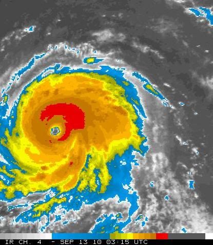
And this from the NHC 11PM:
"AN EXPERIMENTAL PRODUCT FROM UW-CIMSS RUN AT NHC INDICATES
THAT THERE IS A 42 PERCENT CHANCE OF SECONDARY EYEWALL FORMATION
WITHIN THE NEXT 12 HOURS...AND A 90 PERCENT CHANCE WITHIN 24 HOURS.'
If it was undergoing an EWRC like you claim it is, NHC would have said that rather than that it has a 42% chance of of doing so within 12 hours.


