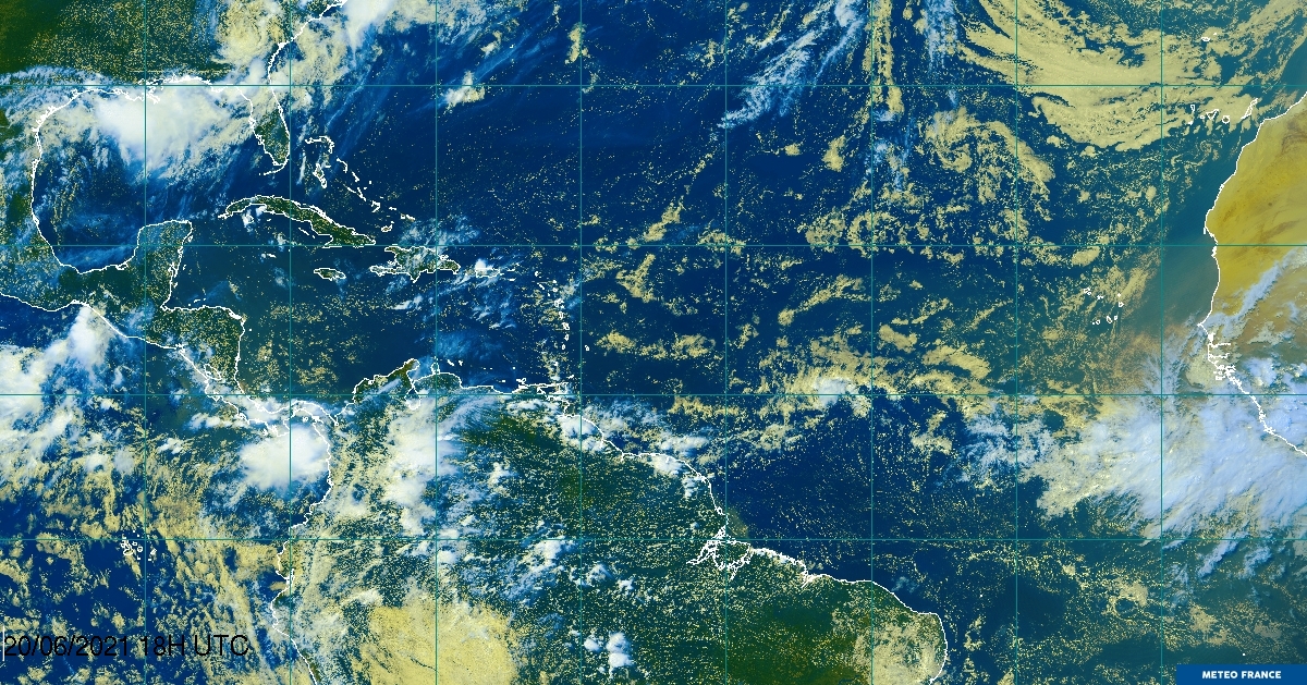
cycloneye wrote:Look how big this complex has turned into. And yes,those -80C cloud tops continue.

At this rate portions of the Windwards could be impacted by this bad weather...even Ste Lucia. Strong tstorms cells embedded in this complex for sure.
Moderator: S2k Moderators


cycloneye wrote:Look how big this complex has turned into. And yes,those -80C cloud tops continue.


hurricaneCW wrote:Isn't this all shear induced convection? We've seen waves do this before by blowing up and than getting ripped apart. There is no LLC and nothing will be able to get organized unless the shear drops from those ridiculously high 30-40 knots. I'm sure a pro met can back this up.


Dylan wrote:hurricaneCW wrote:Isn't this all shear induced convection? We've seen waves do this before by blowing up and than getting ripped apart. There is no LLC and nothing will be able to get organized unless the shear drops from those ridiculously high 30-40 knots. I'm sure a pro met can back this up.
Wind shear associated with TUTT's don't create CDO-like convective bursts. This is all by 92L.
Gustywind wrote::uarrow:
yeah
Mother Nature and its secrets?!

well maybe the shear heard meIvanhater wrote:New image. Hot towers still going strong, starting to flatten a touch on the SW side
Dylan wrote:Gustywind wrote::uarrow:
Your in for some rough weather in about 12 hours.


Rainband wrote:code red 11pm or 12am
Users browsing this forum: No registered users and 66 guests