


ATL: INVEST 94L - DISCUSSION
Moderator: S2k Moderators

-
tolakram
- Admin

- Posts: 20184
- Age: 62
- Joined: Sun Aug 27, 2006 8:23 pm
- Location: Florence, KY (name is Mark)
Re: ATL: INVEST 94L - DISCUSSION
LOOP: http://wwwghcc.msfc.nasa.gov/cgi-bin/ge ... mframes=10
Speed this up. You can see the broad circulation and convection now firing around but some distance from the center of that circulation. Looks like it can't maintain convection, and doesn't look as good as yesterday IMO. Too Juneee
IR LOOP: http://wwwghcc.msfc.nasa.gov/cgi-bin/ge ... =spect.pal
Personal Forecast Disclaimer:
The posts in this forum are NOT official forecast and should not be used as such. They are just the opinion of the poster and may or may not be backed by sound meteorological data. They are NOT endorsed by any professional institution or storm2k.org. For official information, please refer to the NHC and NWS products.
0 likes
M a r k
- - - - -
Join us in chat: Storm2K Chatroom Invite. Android and IOS apps also available.
The posts in this forum are NOT official forecasts and should not be used as such. Posts are NOT endorsed by any professional institution or STORM2K.org. For official information and forecasts, please refer to NHC and NWS products.
-
Dean4Storms
- S2K Supporter

- Posts: 6358
- Age: 63
- Joined: Sun Aug 31, 2003 1:01 pm
- Location: Miramar Bch. FL

-
Extratropical94

- Professional-Met

- Posts: 3545
- Age: 31
- Joined: Wed Oct 20, 2010 6:36 am
- Location: Hamburg, Germany
- Contact:
2PM (1800Z) TWO: 50% chance
ZCZC MIATWOAT ALL
TTAA00 KNHC DDHHMM
TROPICAL WEATHER OUTLOOK
NWS NATIONAL HURRICANE CENTER MIAMI FL
200 PM EDT MON JUN 6 2011
FOR THE NORTH ATLANTIC...CARIBBEAN SEA AND THE GULF OF MEXICO...
1. A LARGE LOW PRESSURE SYSTEM LOCATED OVER THE NORTHWESTERN CARIBBEAN
SEA ABOUT 90 MILES SOUTH-SOUTHWEST OF GRAND CAYMAN IS MOVING SLOWLY
TOWARD THE NORTHWEST. THIS SYSTEM IS GRADUALLY BECOMING BETTER
ORGANIZED AND THUNDERSTORM ACTIVITY HAS DEVELOPED CLOSER TO THE
SURFACE CENTER. SOME ADDITIONAL DEVELOPMENT OF THIS SYSTEM IS
POSSIBLE AND A TROPICAL DEPRESSION COULD FORM LATER TONIGHT OR
TUESDAY BEFORE UPPER-LEVEL WINDS BECOME UNFAVORABLE. THERE IS A
MEDIUM CHANCE...50 PERCENT...OF THIS SYSTEM BECOMING A TROPICAL
CYCLONE DURING THE NEXT 48 HOURS. AN AIR FORCE RESERVE
RECONNAISSANCE AIRCRAFT IS SCHEDULED TO INVESTIGATE THE SYSTEM
TOMORROW AFTERNOON...IF NECESSARY. REGARDLESS OF DEVELOPMENT...HEAVY
RAINS COULD CAUSE FLASH FLOODS AND MUD SLIDES OVER PORTIONS OF
HAITI...JAMAICA...AND EASTERN CUBA AS THE SYSTEM MOVES SLOWLY
TOWARD THE NORTHWEST OR NORTH OVER THE NEXT COUPLE OF DAYS.
ELSEWHERE...TROPICAL CYCLONE FORMATION IS NOT EXPECTED DURING THE
NEXT 48 HOURS.
$$
FORECASTER STEWART
NNNN
Last edited by Extratropical94 on Mon Jun 06, 2011 12:49 pm, edited 1 time in total.
0 likes
54° 11' 59'' N, 9° 9' 20'' E
Boomer Sooner!
Go Broncos! Go Cards!
Clinching counties, one at a time: https://mob-rule.com/user-gifs/USA/xtrp94.gif
- Daniel
Boomer Sooner!
Go Broncos! Go Cards!
Clinching counties, one at a time: https://mob-rule.com/user-gifs/USA/xtrp94.gif
- Daniel
-
wxman57

- Moderator-Pro Met

- Posts: 23172
- Age: 68
- Joined: Sat Jun 21, 2003 8:06 pm
- Location: Houston, TX (southwest)
Re: ATL: INVEST 94L - DISCUSSION
More time only means increasing shear. This one is about dead. Development chances less than 10% and dropping. I don't see what Stacey Stewart is looking at. Surface obs don't suggest any organization. Convection is almost nonexistent. Shear will be increasing tomorrow.
0 likes
-
SouthDadeFish

- Professional-Met
- Posts: 2835
- Joined: Thu Sep 23, 2010 2:54 pm
- Location: Miami, FL
- Contact:
-
Extratropical94
- Professional-Met
- Posts: 3545
- Age: 31
- Joined: Wed Oct 20, 2010 6:36 am
- Location: Hamburg, Germany
- Contact:
I'm kinda wondering why they say that a tropical depression has the chance to form later today.
50% chance for 48 hours is not equal to depression in the next 6-12 hours
50% chance for 48 hours is not equal to depression in the next 6-12 hours
0 likes
54° 11' 59'' N, 9° 9' 20'' E
Boomer Sooner!
Go Broncos! Go Cards!
Clinching counties, one at a time: https://mob-rule.com/user-gifs/USA/xtrp94.gif
- Daniel
Boomer Sooner!
Go Broncos! Go Cards!
Clinching counties, one at a time: https://mob-rule.com/user-gifs/USA/xtrp94.gif
- Daniel

You guys forget that most times this time of the year upper level troughs is what helps cyclogenesis to get going before if it gets counter productive for a system.
Last edited by NDG on Mon Jun 06, 2011 12:56 pm, edited 1 time in total.
0 likes
-
Hylian Auree

- Tropical Storm

- Posts: 150
- Age: 33
- Joined: Thu Dec 02, 2010 7:01 pm
- Location: Willemstad, Curaçao
- Contact:

-
cycloneye

- Admin
- Posts: 149367
- Age: 69
- Joined: Thu Oct 10, 2002 10:54 am
- Location: San Juan, Puerto Rico
Re: ATL: INVEST 94L - DISCUSSION=2 PM EDT TWO/50%
I am a bit shocked,but the tropics many times have surprises.
0 likes
Visit the Caribbean-Central America Weather Thread where you can find at first post web cams,radars
and observations from Caribbean basin members Click Here
and observations from Caribbean basin members Click Here
-
SouthDadeFish
- Professional-Met
- Posts: 2835
- Joined: Thu Sep 23, 2010 2:54 pm
- Location: Miami, FL
- Contact:
-
Hylian Auree
- Tropical Storm
- Posts: 150
- Age: 33
- Joined: Thu Dec 02, 2010 7:01 pm
- Location: Willemstad, Curaçao
- Contact:
Re: Re:
TheBurn wrote:Hylian Auree wrote:Up to 50%. Odd... I had always thought 50% was code red
I believe Code Red is >50%
Yeah, that does seem logical : P Silly thinking on my part.
0 likes
-
wxman57
- Moderator-Pro Met
- Posts: 23172
- Age: 68
- Joined: Sat Jun 21, 2003 8:06 pm
- Location: Houston, TX (southwest)
Re:
NDG wrote:You guys forget that most times this time of the year upper level troughs is what helps cyclogenesis to get going before if it gets counter productive for a system.
Yes, that can happen, but I see no evidence of it happening today. Stewart even agrees that wind shear starts increasing tomorrow, so the development window is very narrow. Without much of an LLC today, and with pressures rising since this morning, and with convection much weaker than yesterday, the chances of development in the next 12 hours are very low. Certainly not 50%. Maybe he meant to say 5.0%?
0 likes

Re: ATL: INVEST 94L - DISCUSSION
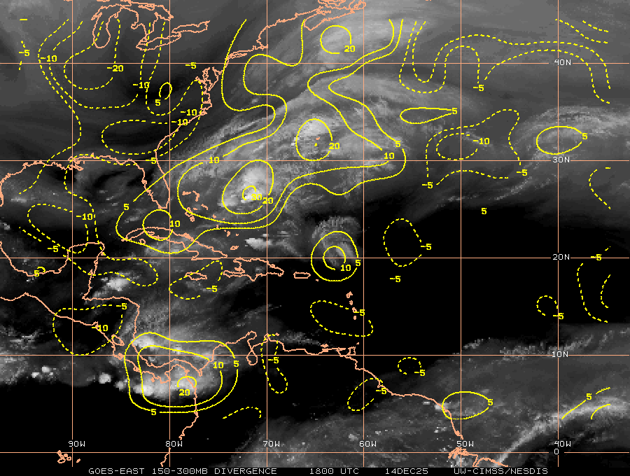
Convection is firing inside the inner circle.
If this flares, it could push some of the UL winds radially outward and get the anti-cyclone over it.
In other words, shear may diminish if a strong tower erupts.

If this flares, it could push some of the UL winds radially outward and get the anti-cyclone over it.
In other words, shear may diminish if a strong tower erupts.
0 likes
-
Dean4Storms
- S2K Supporter
- Posts: 6358
- Age: 63
- Joined: Sun Aug 31, 2003 1:01 pm
- Location: Miramar Bch. FL
-
wxman57
- Moderator-Pro Met
- Posts: 23172
- Age: 68
- Joined: Sat Jun 21, 2003 8:06 pm
- Location: Houston, TX (southwest)
Re: ATL: INVEST 94L - DISCUSSION
Here's a long loop I made. No significant convection near the weak LLC, and no increasing convection near the weak LLC. I can see the clouds lifting northward in the last few hours, perhaps a sign of the disturbance beginning to encounter the increasing SW winds aloft? Too weak for a Dvorak analysis. Very little time left to develop.
http://myweb.cableone.net/nolasue/94Lloop.gif
http://myweb.cableone.net/nolasue/94Lloop.gif
0 likes
Who is online
Users browsing this forum: No registered users and 18 guests