SouthDadeFish wrote:I wonder if daytime heating over Cuba will help moisten the environment. Looks like its already starting to cancel out the sea breeze over Cuba after looking at hi-res visible loops.
huh?
Moderator: S2k Moderators

SouthDadeFish wrote:I wonder if daytime heating over Cuba will help moisten the environment. Looks like its already starting to cancel out the sea breeze over Cuba after looking at hi-res visible loops.
SouthDadeFish wrote:I wonder if daytime heating over Cuba will help moisten the environment. Looks like its already starting to cancel out the sea breeze over Cuba after looking at hi-res visible loops.


ozonepete wrote:stormreader wrote:NDG wrote:
Due to the mountainous terrain of Hispaniola, not over water.
You sure about that NDG? I think the center was still south of Hispaniola, and if that is correct you wouldn't have expected the storm to dissipate so quickly without the center being onshore. Actually, I think the mountains might only have had an indirect effect by impeding some of the inflow. But all in all it looks like this thing just dissipated mostly of its own accord. A day or so earlier their was a time when it looked as though it were about to go open wave and this was well before Hispaniola. Reminded of a storm named Chris that dissipated (seems like in the same general) area in 2006.
I'm with NDG. It was all about the mountains.


mutley wrote:
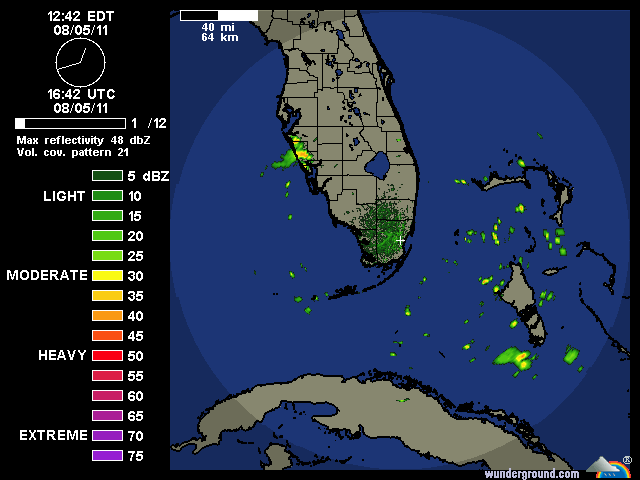
Looks like Emily is trying.


wxman57 wrote:First of all, there isn't any low center north of Cuba. There is some lower-level rotation evident but no evidence of a closed low center. Pressures are a bit high in the area north of Cuba now. Conditions aloft are not ideal for redevelopment. Shear is still present and the shear won't likely diminish much in the next 24 hours as the disturbance passes east of Florida. And the reason it's forecast to turn off to the north and northeast is the projected steering pattern, governed by the placement of the high pressure area east of the disturbance and the trof along the East U.S. Coast. Here's a graphic illustrating the steering flow for tomorrow night. Even if it was to redevelop by tomorrow night, it would be on its way out to sea shortly thereafter. Regardless of what happens, you'll be lucky to see much rain out of it across the FL peninsula when it passes to the east tomorrow.
jlauderdal wrote:artist wrote:well Avila kept it at 60%.
Stewart will go 80 just to mess with avila


Users browsing this forum: No registered users and 76 guests


