SouthFloridawx wrote:Here's a really awesome Water Vapor Loop and a cool Website @ PSU.
http://www.meteo.psu.edu/~gadomski/SAT_ATL/atlanimwv.html
I see you, and raise you: http://www.atmos.washington.edu/~ovens/ ... nhanced+24
Mwahahahahah....
- - - -
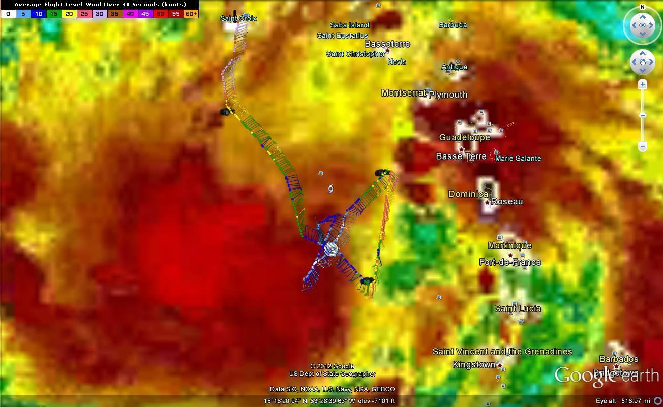
Personal forecast 'til morning: The CDO-ish feature will appear to go stationary and warm, maybe even nearly dying off -- but this is only temporary as the various coalescing centers swirl around a common rotational axis at about 15N. (All the board fan-peeps will groan as their big proto-hurricane appears to fizzle once again.) About 9am EST tomorrow, the surface and mid-level centers complete stacking, and Isaac begins an uninterrupted, and at times rapid, intensification trend.


 my Cowboys