
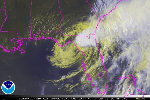
jlauderdal wrote:wxman57 wrote:Here's a surface plot. Strongest wind I've seen all morning is 30 kts. Strongest winds about 180-230 miles SE of the center and 80 miles NW of the center. So don't look for strong wind anywhere near the center moves ashore. Winds will be stronger in Ft. Myers and Miami than where the center moves inland. Not typical of a tropical cyclone.
http://home.comcast.net/~cgh57/debby1.gif
http://www.sun-sentinel.com/news/browar ... 3583.story
Reports of downed power lines and sparking transformers were lodged with responders in Broward County from 2 p.m. Tuesday.
The National Weather Service in Miami says it's not from tornadoes, but rather from wind gusts.
Meteorologist Robert Molleda said winds have blown to close to 40 mph Tuesday, the result of “the southeast side of [Tropical Storm] Debby’s circulation.”
URGENT - WEATHER MESSAGE
NATIONAL WEATHER SERVICE MIAMI FL
322 PM EDT TUE JUN 26 2012
...WIND ADVISORY IN EFFECT UNTIL 8 PM EDT THIS EVENING...
THE NATIONAL WEATHER SERVICE IN MIAMI HAS ISSUED A WIND
ADVISORY...WHICH IS IN EFFECT UNTIL 8 PM EDT THIS EVENING.
* TIMING...GUSTY SOUTHWEST WINDS WILL CONTINUE THROUGH EARLY THIS
EVENING.
* WINDS...SOUTHWEST WINDS OF 25 TO 30 MPH WITH FREQUENT GUSTS OF
40 TO 45 MPH.
* IMPACTS...PEOPLE NEED TO SECURE LOOSE ITEMS THAT COULD BLOWN
AROUND IN THE STRONG WINDS THIS AFTERNOON...AND HIGH PROFILE
VEHICLES NEED TO USE CAUTION WHILE DRIVING.


