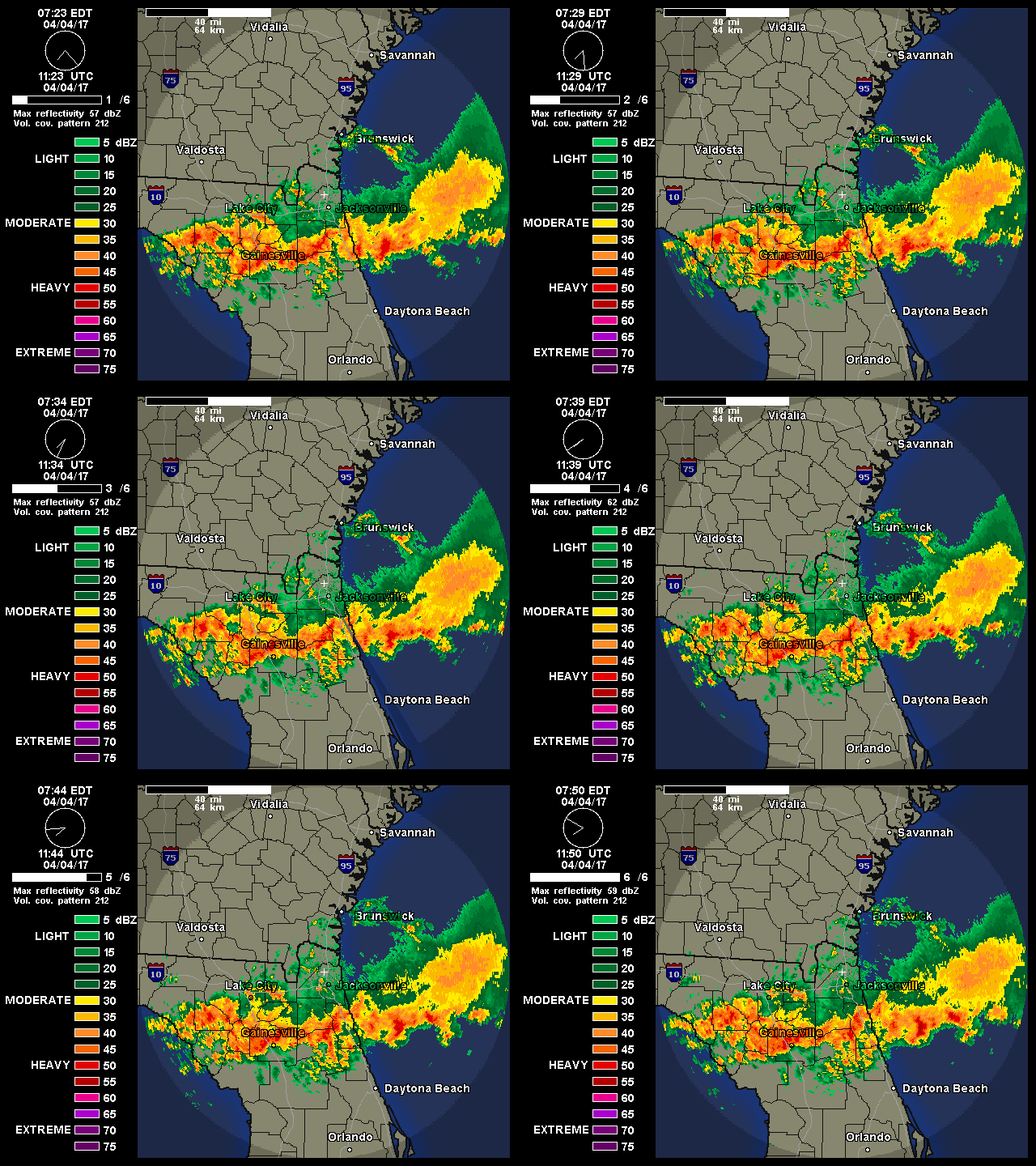
Currently all of the weather with Arthur is in its eastern semicircle with light winds across the FL east coast.

Moderator: S2k Moderators


xironman wrote:I wonder when/if Dare is going to evacuate Hatteras Island, if they lose rt 12 and strand the 4th July vacationers it would be a public relations nightmare.


WilmingtonSandbar wrote: "The track guidance envelope has shifted back to the west a little for
this cycle, and the NHC forecast has been adjusted in that
direction, but now lies on the eastern edge of the guidance
envelope through 48 hours."


viberama wrote:Dry Air, Dry Air, Dry Air. This has been a real deal breaker for Arthur. From an observation outside, all you have to do is go 2 miles inland and the sky's are clear and sunny. Until the north and northwest quad juices up, Arthur is going to have problems. These were some of the same problems as last year.

RevDodd wrote:WilmingtonSandbar wrote: "The track guidance envelope has shifted back to the west a little for
this cycle, and the NHC forecast has been adjusted in that
direction, but now lies on the eastern edge of the guidance
envelope through 48 hours."
If I read that correctly, the NHC still expects the trough to arrive in time to pull Arthur off the coastline. Unless the storm motion increases, or goes WAY west, I don't see much of an increased risk for the south NC beaches.


CarolinaNBANFL wrote:This storm has looked like it is weakening for a while now and now the models have shifted west of the NHC. Looks like Wilmington, NC is not out of the gun just yet. Wonder if this thing can fight hard again like it has been to get its act together today.

RevDodd wrote:WilmingtonSandbar wrote: "The track guidance envelope has shifted back to the west a little for
this cycle, and the NHC forecast has been adjusted in that
direction, but now lies on the eastern edge of the guidance
envelope through 48 hours."
If I read that correctly, the NHC still expects the trough to arrive in time to pull Arthur off the coastline. Unless the storm motion increases, or goes WAY west, I don't see much of an increased risk for the south NC beaches.

hohnywx wrote:RevDodd wrote:WilmingtonSandbar wrote: "The track guidance envelope has shifted back to the west a little for
this cycle, and the NHC forecast has been adjusted in that
direction, but now lies on the eastern edge of the guidance
envelope through 48 hours."
If I read that correctly, the NHC still expects the trough to arrive in time to pull Arthur off the coastline. Unless the storm motion increases, or goes WAY west, I don't see much of an increased risk for the south NC beaches.
No, you didn't read that right. The NHC doesn't made wide shifts every six hours. What they are doing is leaving the door open for more westward shifts in the track if the models continue to show what they currently show.
Users browsing this forum: No registered users and 50 guests